|
|
| Mesa Del Rey Airport |
| IATA: KIC – ICAO: KKIC – FAA LID: KIC |
| Summary |
| Airport type |
Public |
| Operator |
City of King City |
| Location |
King City, California |
| Elevation AMSL |
370 ft / 112.8 m |
| Coordinates |
36°13′41″N 121°07′19″W / 36.22806°N 121.12194°W / 36.22806; -121.12194Coordinates: 36°13′41″N 121°07′19″W / 36.22806°N 121.12194°W / 36.22806; -121.12194 |
| Runways |
| Direction |
Length |
Surface |
| ft |
m |
| 11/29 |
4,485 |
1,367 |
Asphalt |
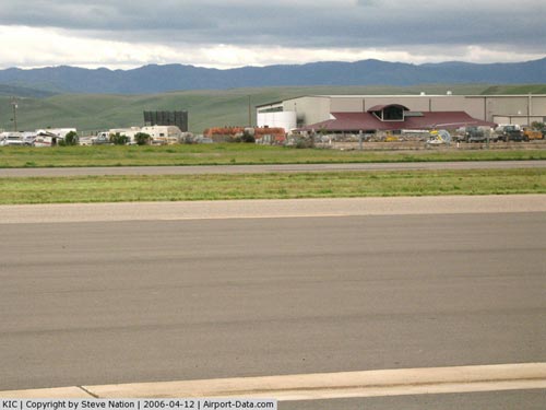
Mesa Del Rey Airport (IATA: KIC, ICAO: KKIC, FAA LID: KIC) is a public airport located one mile (1.6 km) northeast of King City, serving Monterey County, California, USA. The airport is mostly used for general aviation. Facilities
Mesa Del Rey Airport covers 112 acres (0.45 km) and has one runway:
- Runway 11/29: 4,485 x 100 ft (1,367 x 30 m), Surface: Asphalt
History
Opened in April 1940 as Palo Alto Airport or King City Airport. Originally had 4,570' NW/SE hard surfaced runway. Was used for most of World War II by the United States Army Air Forces as a primary (level 1) contract pilot training airfield. Had four local auxiliary airfields for emergency and overflow landings. Pilot training contractor was Palo Alto Airport, Inc. Flying training was performed with Fairchild PT-19s as the primary trainer. Also had several PT-17 Stearmans.
Military control of the airport was transferred to the United States Navy in April 1945. Was known as King City Naval Auxiliary Air Station (NAAS). Navy declared airport surplus on 30 September 1945. Eventually discharged to the War Assets Administration (WAA) and became a civil airport.
The above content comes from Wikipedia and is published under free licenses – click here to read more.
|
 |
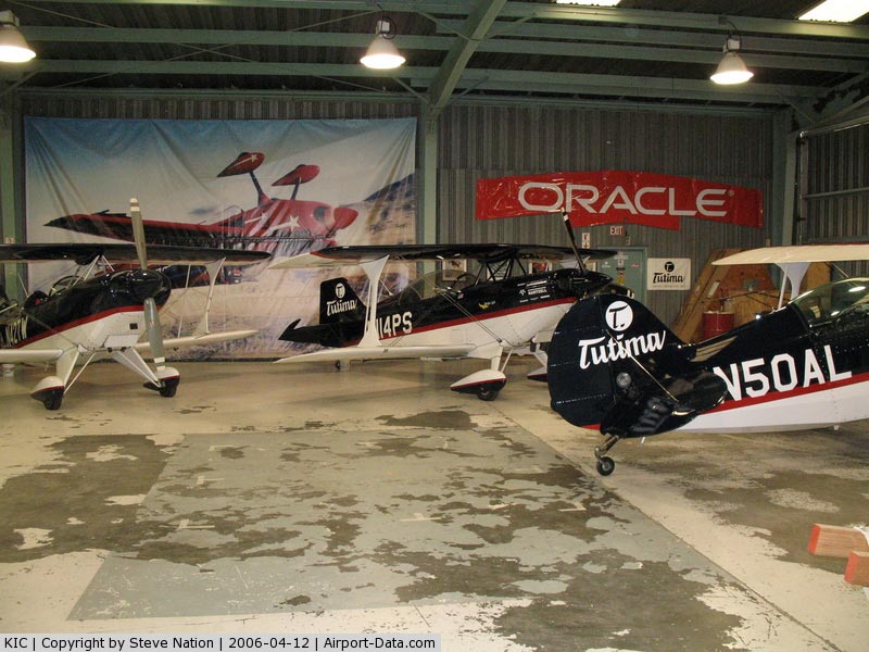
(Click on the photo to enlarge) |
|
 |
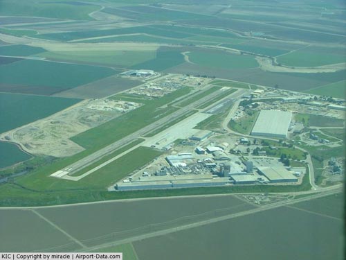
(Click on the photo to enlarge) |
|
 |
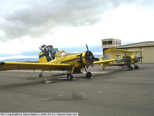
(Click on the photo to enlarge) |
|
 |
(Click on the photo to enlarge) |
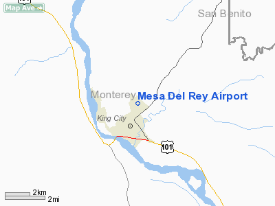
Location
& QuickFacts
|
FAA
Information Effective: |
2006-09-28 |
|
Airport
Identifier: |
KIC |
|
Longitude/Latitude: |
121-07-18.7010W/36-13-40.8770N
-121.121861/36.228021 (Estimated) |
|
Elevation: |
370 ft / 112.78 m (Surveyed) |
|
Land: |
112 acres |
|
From
nearest city: |
1 nautical miles NE of King City, CA |
|
Location: |
Monterey County, CA |
|
Magnetic Variation: |
15E (1985) |
Owner
& Manager
|
Ownership: |
Publicly owned |
|
Owner: |
City Of King City |
|
Address: |
212 South Vanderhurst Ave
King City, CA 93930 |
|
Phone
number: |
408-385-3281 |
|
Manager: |
Ann Marie Gallant
CITY MANAGER. |
|
Address: |
212 South Vanderhurst Ave
King City, CA 93930 |
|
Phone
number: |
831-386-5917
ARPT PHONE 408-385-6575 - KING CITY AVN. |
Airport
Operations and Facilities
|
Airport
Use: |
Open to public |
|
Wind
indicator: |
Yes |
|
Segmented
Circle: |
Yes |
|
Control
Tower: |
No |
|
Attendance
Schedule: |
ALL/ALL/0800-1700 |
|
Lighting
Schedule: |
DUSK-DAWN |
|
Beacon
Color: |
Clear-Green (lighted land airport) |
|
Landing
fee charge: |
No |
|
Sectional
chart: |
San Francisco |
|
Region: |
AWP - Western-Pacific |
|
Traffic
Pattern Alt: |
800 ft |
|
Boundary
ARTCC: |
ZOA - Oakland |
|
Tie-in
FSS: |
OAK - Oakland |
|
FSS
on Airport: |
No |
|
FSS
Phone: |
510-273-6111 |
|
FSS
Toll Free: |
1-800-WX-BRIEF |
|
NOTAMs
Facility: |
OAK (NOTAM-d service avaliable) |
|
Federal Agreements: |
NGPY |
Airport
Communications
Airport
Services
|
Fuel
available: |
100LLA
FUEL AVBL 24 HRS. |
|
Airframe
Repair: |
MAJOR |
|
Power
Plant Repair: |
MAJOR |
|
Bottled
Oxygen: |
NONE |
|
Bulk
Oxygen: |
NONE |
|
Runway Information
Runway 11/29
|
Dimension: |
4485 x 100 ft / 1367.0 x 30.5 m |
|
Surface: |
ASPH, Good Condition |
|
Weight
Limit: |
Single wheel: 12000 lbs. |
|
Edge
Lights: |
Medium |
|
|
Runway 11 |
Runway 29 |
|
Traffic
Pattern: |
Left |
Left |
|
Markings: |
Basic, Fair Condition |
Basic, Fair Condition |
|
Crossing
Height: |
0.00
ft |
23.00
ft |
|
VASI: |
|
2-box SAVASI on left side
SAVASI OTS INDEFLY. |
|
Visual
Glide Angle: |
0.00� |
3.00� |
|
Runway
End Identifier: |
No |
No |
|
Centerline
Lights: |
No |
No |
|
Touchdown
Lights: |
No |
No |
|
Obstruction: |
4 ft berm, 280.0 ft from runway, 20:1 slope
to clear |
7 ft road, 400.0 ft from runway, 28:1 slope
to clear |
|
Radio Navigation
Aids
|
ID |
Type |
Name |
Ch |
Freq |
Var |
Dist |
|
HGT |
NDB |
Hunter Liggett |
|
209.00 |
15E |
16.4 nm |
|
UAD |
NDB |
Chualar |
|
263.00 |
16E |
23.3 nm |
|
ROM |
VOR |
Priest |
|
110.00 |
16E |
22.8 nm |
|
BSR |
VORTAC |
Big Sur |
087X |
114.00 |
16E |
25.4 nm |
|
PXN |
VORTAC |
Panoche |
073X |
112.60 |
16E |
33.7 nm |
|
SNS |
VORTAC |
Salinas |
120X |
117.30 |
17E |
35.0 nm |
|
PRB |
VORTAC |
Paso Robles |
090X |
114.30 |
16E |
41.2 nm |
Remarks
- FOR
TOLL FREE PILOT WEATHER BRIEF OAKLAND FSS 1-800-WX-BRIEF.
- SERVICE
ROAD WITHIN 50 FT OF RY 29.
- ESTBD
PRIOR TO MAY 1959.
Based Aircraft
|
Aircraft
based on field: |
31 |
|
Single
Engine Airplanes: |
25 |
|
Multi
Engine Airplanes: |
4 |
|
Helicopters: |
2 |
Operational Statistics
|
Aircraft
Operations: |
68/Week |
|
General
Aviation Local: |
28.6% |
|
General
Aviation Itinerant: |
71.4% |
Mesa Del Rey Airport
Address:
Monterey County, CA
Tel:
408-385-3281,
831-386-5917
Images
and information placed above are from
http://www.airport-data.com/airport/KIC/
We
thank them for the data!
| General
Info |
| Country |
United
States |
| State |
CALIFORNIA
|
| FAA ID |
KIC
|
| Latitude |
36-13-40.877N
|
| Longitude |
121-07-18.701W
|
| Elevation |
370 feet
|
| Near City |
KING CITY
|
We don't guarantee the information is fresh and accurate. The data may
be wrong or outdated.
For more up-to-date information please refer to other sources.
|
|