 |
|
Location
& QuickFacts
|
FAA
Information Effective: |
2006-09-28 |
|
Airport
Identifier: |
6CL4 |
|
Longitude/Latitude: |
119-44-31.5800W/37-27-33.7800N
-119.742106/37.459383 (Estimated) |
|
Elevation: |
3020 ft / 920.50 m (Estimated) |
|
Land: |
50 acres |
|
From
nearest city: |
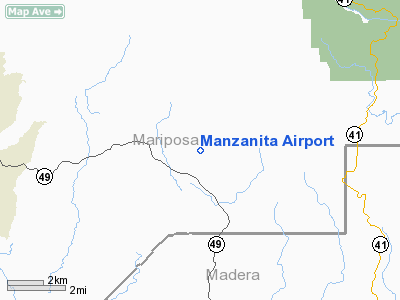
11 nautical miles E of Mariposa, CA |
|
Location: |
Mariposa County, CA |
|
Magnetic Variation: |
14E (1990) |
Owner
& Manager
|
Ownership: |
Privately owned |
|
Owner: |
Joseph E Carbaugh |
|
Address: |
5522 Harris Cut Off Road
Mariposa, CA 95338 |
|
Phone
number: |
209-742-7924 |
|
Manager: |
Joseph E Carbaugh |
|
Address: |
5522 Harris Cut Off Road
Mariposa, CA 95338 |
|
Phone number: |
209-742-7924 |
Airport
Operations and Facilities
|
Airport Use: |
Private |
|
Wind indicator: |
Yes |
|
Segmented Circle: |
No |
|
Control Tower: |
No |
|
Attendance Schedule: |
ALL/ALL/0800-1600 |
|
Sectional chart: |
San Francisco |
|
Region: |
AWP - Western-Pacific |
|
Boundary ARTCC: |
ZOA - Oakland |
|
Tie-in FSS: |
RIU - Rancho Murieta |
|
FSS on Airport: |
No |
|
FSS Phone: |
916-354-0161 |
|
FSS Toll Free: |
1-800-WX-BRIEF |
Airport
Communications
|
Runway Information
Runway 15/33
|
Dimension: |
1100 x 75 ft / 335.3 x 22.9 m |
|
Surface: |
TURF, |
|
|
Runway 15 |
Runway 33 |
|
Traffic
Pattern: |
Left |
Left |
|
Radio Navigation
Aids
|
ID |
Type |
Name |
Ch |
Freq |
Var |
Dist |
|
CUK |
NDB |
Academy |
|
266.00 |
14E |
44.1 nm |
|
FCH |
NDB |
Chandler |
|
344.00 |
15E |
44.4 nm |
|
HYP |
VOR/DME |
El Nido |
089X |
114.20 |
15E |
34.6 nm |
|
FRA |
VORTAC |
Friant |
103X |
115.60 |
17E |
22.5 nm |
|
CZQ |
VORTAC |
Clovis |
076X |
112.90 |
15E |
34.7 nm |
Remarks
Based Aircraft
|
Aircraft
based on field: |
1 |
|
Single
Engine Airplanes: |
1 |
Manzanita Airport
Address:
Mariposa County, CA
Tel:
209-742-7924
Images
and information placed above are from
http://www.airport-data.com/airport/6CL4/
We
thank them for the data!
| General
Info |
| Country |
United
States |
| State |
CALIFORNIA
|
| FAA ID |
6CL4
|
| Latitude |
37-27-33.780N
|
| Longitude |
119-44-31.580W
|
| Elevation |
3020 feet
|
| Near City |
MARIPOSA
|
We don't guarantee the information is fresh and accurate. The data may
be wrong or outdated.
For more up-to-date information please refer to other sources.
|
|


