|
|
| Mammoth Yosemite Airport |
 |
| IATA: MMH – ICAO: KMMH |
| Summary |
| Airport type |
Public |
| Operator |
City of Mammoth Lakes |
| Location |
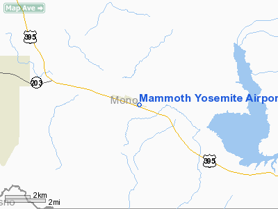
Mammoth Lakes, California |
| Elevation AMSL |
7,128 ft / 2,173 m |
| Coordinates |
37°37′26.575″N 118°50′15.980″W / 37.62404861°N 118.8377722°W / 37.62404861; -118.8377722Coordinates: 37°37′26.575″N 118°50′15.980″W / 37.62404861°N 118.8377722°W / 37.62404861; -118.8377722 |
| Runways |
| Direction |
Length |
Surface |
| ft |
m |
| 9/27 |
7,000 |
2,134 |
Asphalt |
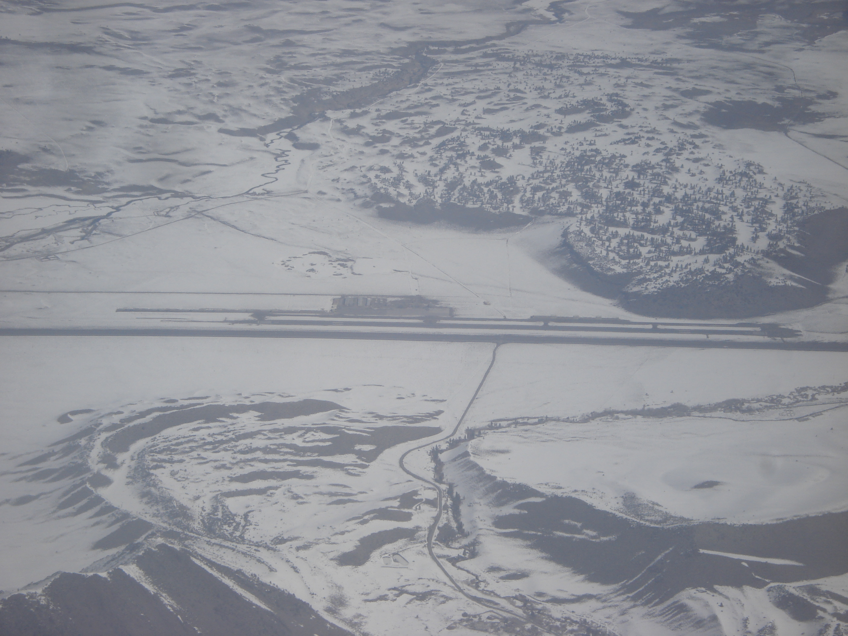
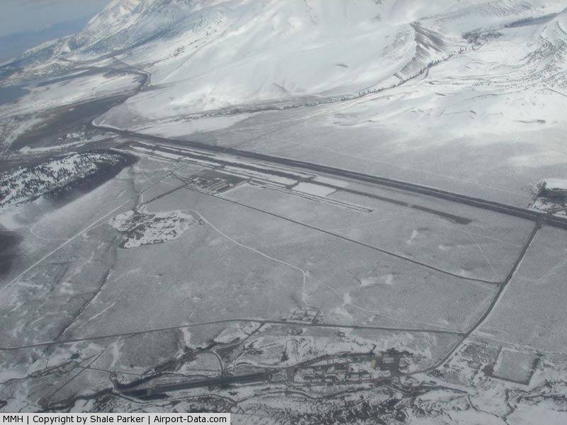
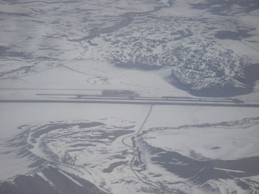
Mammoth Yosemite Airport (IATA: MMH, ICAO: KMMH) is a public airport located six miles (9.7 km) east of Mammoth Lakes, serving Mono County, California, USA. The airport has one runway and is mostly used for general aviation but is also served by two commercial airlines.
Airlines and destinations
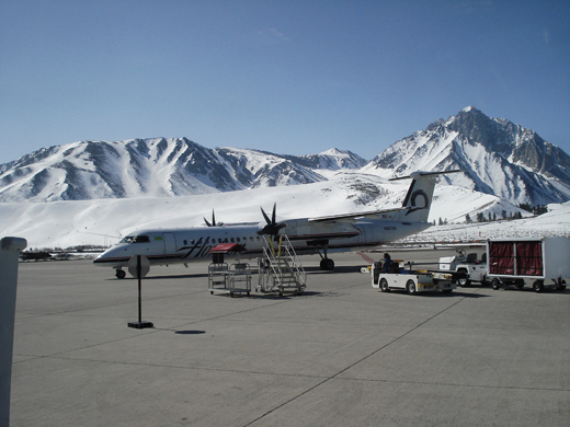 | |
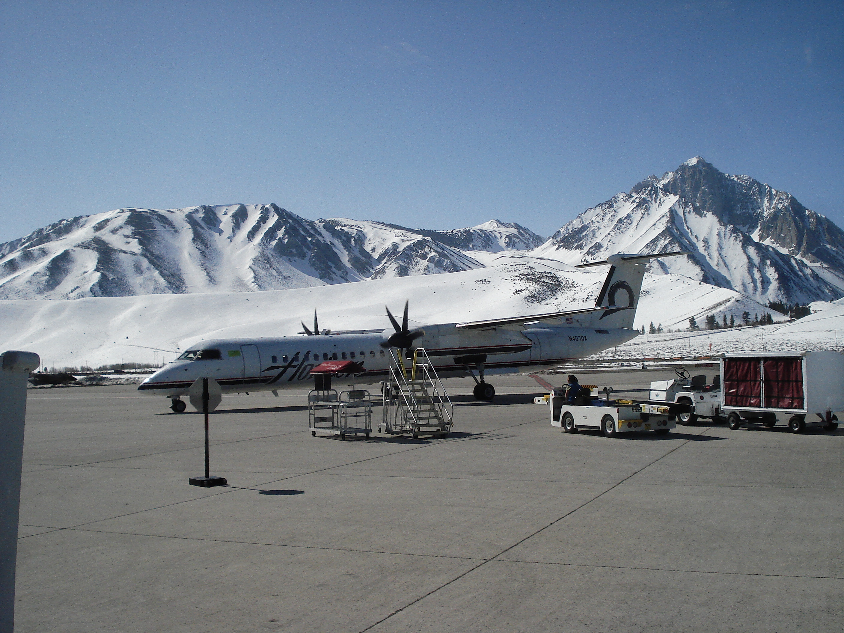
A Horizon Air Q400 on the tarmac at Mammoth Yosemite in March of 2010. |
| Airlines |
Destinations |
| Horizon Air |
Los Angeles,San Jose (CA) [seasonal] |
| United Express operated by SkyWest Airlines |
San Francisco [seasonal; begins December 16] |
The above content comes from Wikipedia and is published under free licenses – click here to read more.
|
 |
(Click on the photo to enlarge) |
Location
& QuickFacts
|
FAA
Information Effective: |
2006-09-28 |
|
Airport
Identifier: |
MMH |
|
Longitude/Latitude: |
118-50-15.9800W/37-37-26.5750N
-118.837772/37.624049 (Estimated) |
|
Elevation: |
7128 ft / 2172.61 m (Surveyed) |
|
Land: |
230 acres |
|
From
nearest city: |
6 nautical miles E of Mammoth Lakes, CA |
|
Location: |
Mono County, CA |
|
Magnetic Variation: |
15E (1995) |
Owner
& Manager
|
Ownership: |
Publicly owned |
|
Owner: |
Town Of Mammoth Lakes |
|
Address: |
Box 1609
Mammoth Lakes, CA 93546 |
|
Phone
number: |
760-934-3813 |
|
Manager: |
William B. Manning
ASST AMGR: DENNIS J. CARDOZA |
|
Address: |
Rt 1 Box 209
Mammoth Lakes, CA 93546 |
|
Phone number: |
760-934-3813 |
Airport
Operations and Facilities
|
Airport
Use: |
Open to public |
|
Wind
indicator: |
Yes |
|
Segmented
Circle: |
Yes |
|
Control
Tower: |
No |
|
Attendance
Schedule: |
ALL/ALL/0800-1630 |
|
Lighting
Schedule: |
DUSK-DAWN
ACTVT MIRL RY 09/27 & REIL RYS 09 &27 - CTAF. |
|
Beacon
Color: |
Clear-Green (lighted land airport) |
|
Landing
fee charge: |
No |
|
Sectional
chart: |
San Francisco |
|
Region: |
AWP - Western-Pacific |
|
Traffic
Pattern Alt: |
872 ft |
|
Boundary
ARTCC: |
ZOA - Oakland |
|
Tie-in
FSS: |
RAL - Riverside |
|
FSS
on Airport: |
No |
|
FSS
Phone: |
951-351-3020 |
|
FSS
Toll Free: |
1-800-WX-BRIEF |
|
NOTAMs
Facility: |
MMH (NOTAM-d service avaliable) |
|
Certification
type/date: |
I LU 12/1987
CLSD TO ACR OPNS WITH MORE THAN 30 PSGR SEATS EXCP 24 HR
PPR CALL AMGR (760) 934-3813. |
|
Federal Agreements: |
NGY |
Airport
Communications
|
CTAF: |
122.800 |
|
Unicom: |
122.800 |
Airport
Services
|
Fuel
available: |
100LLA
100LL FUEL AVBL 24 HRS; CARD LOCK SYSTEM. |
|
Airframe
Repair: |
MINOR |
|
Power
Plant Repair: |
MINOR |
|
Bulk
Oxygen: |
HIGH |
|
Runway Information
Runway 09/27
|
Dimension: |
7000 x 100 ft / 2133.6 x 30.5 m |
|
Surface: |
ASPH, Good Condition |
|
Surface
Treatment: |
Porous Friction Course |
|
Weight
Limit: |
Single wheel: 30000 lbs.
Dual wheel: 100000 lbs. |
|
Edge
Lights: |
Medium |
|
|
Runway 09 |
Runway 27 |
|
Longitude: |
118-51-00.5860W |
118-49-38.3200W |
|
Latitude: |
37-37-37.8120N |
37-37-15.3350N |
|
Elevation: |
7128.00 ft |
7056.00 ft |
|
Alignment: |
109 |
127 |
|
Traffic
Pattern: |
Left |
Right |
|
Markings: |
Non-precision instrument, Fair Condition
/27 NO AIMING POINT FOR RY. |
Non-precision instrument, Fair Condition |
|
VASI: |
|
4-light PAPI on left side |
|
Runway
End Identifier: |
No |
Yes
REIL RY 27 OTS INDEFLY. |
|
Centerline
Lights: |
No |
No |
|
Touchdown
Lights: |
No |
No |
|
Obstruction: |
, 50:1 slope to clear |
38 ft tree, 1550.0 ft from runway, 150 ft left
of centerline, 35:1 slope to clear |
|
Radio Navigation
Aids
|
ID |
Type |
Name |
Ch |
Freq |
Var |
Dist |
|
BIH |
VOR/DME |
Bishop |
033X |
109.60 |
15E |
26.9 nm |
|
FRA |
VORTAC |
Friant |
103X |
115.60 |
17E |
47.8 nm |
Remarks
- RIDGE
3 MILES FM APCH END RY 09.
- RIDGE
AT RY 27 IS 304 FT ABOVE RY & 1200 FT NORTH OF CNTRLN WITH HAZARD
BEACONS.
- ARPT
LCTD IN MOUNTAINOUS TERRAIN WITH OCNL STRONG WINDS AND TURBULENCE. LGTD
WINDSOCK AVBL AT RY ENDS AND CENTERFIELD; WITH SOUTHERLY CROSSWINDS
IN EXCESS OF 15 KNOTS; EXPC TURBULENCE AND PSBL WINDSHEAR ALONG FIRST
3000 FT OF RY 27.
- NIGHT
FLYING NOT RECOMMENDED WITHOUT KNOWLEDGE OF LOCAL TERRAIN.
- NOISE
ABATEMENT: ACFT ARR FM THE SOUTH, OR DEP TO THE SOUTH REMAIN EAST OF
HWY 395.
Based Aircraft
|
Aircraft
based on field: |
6 |
|
Single
Engine Airplanes: |
6 |
Operational Statistics
|
Aircraft
Operations: |
247/Week |
|
Air Taxi: |
5.5% |
|
General
Aviation Local: |
23.4% |
|
General
Aviation Itinerant: |
70.3% |
|
Military: |
0.8% |
Mammoth Yosemite Airport
Address:
Mono County, CA
Tel:
760-934-3813
Images
and information placed above are from
http://www.airport-data.com/airport/MMH/
We
thank them for the data!
| General
Info |
| Country |
United
States |
| State |
CALIFORNIA
|
| FAA ID |
MMH
|
| Latitude |
37-37-26.575N
|
| Longitude |
118-50-15.980W
|
| Elevation |
7128 feet
|
| Near City |
MAMMOTH
LAKES |
We don't guarantee the information is fresh and accurate. The data may
be wrong or outdated.
For more up-to-date information please refer to other sources.
|
|