|
|
|
 |
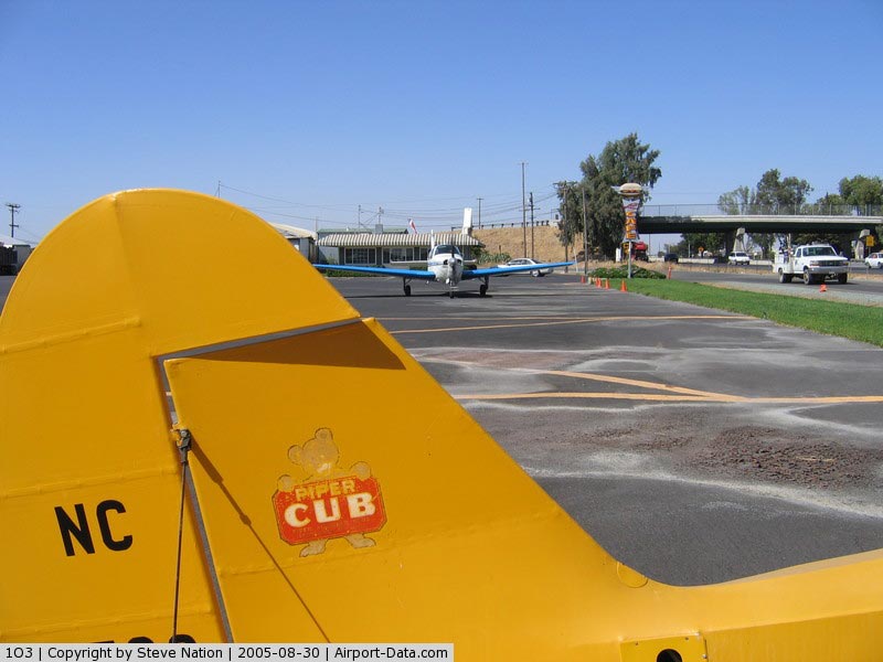
(Click on the photo to enlarge) |
|
 |
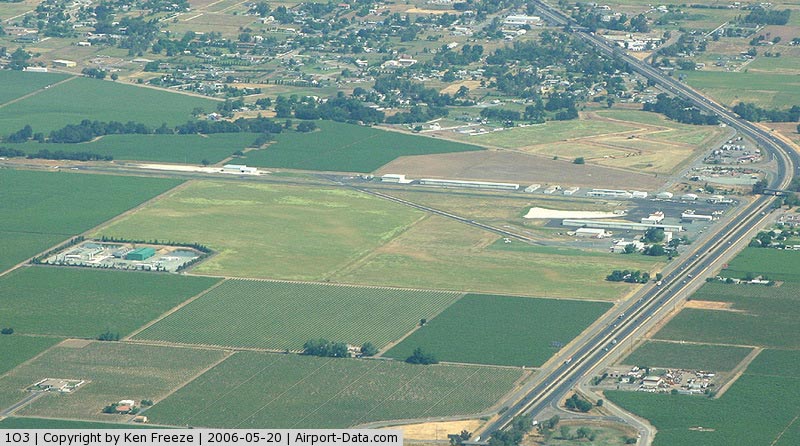
(Click on the photo to enlarge) |
Location
& QuickFacts
|
FAA
Information Effective: |
2006-09-28 |
|
Airport
Identifier: |
1O3 |
|
Longitude/Latitude: |
121-16-06.3000W/38-12-08.7000N
-121.268417/38.202417 (Estimated) |
|
Elevation: |
58 ft / 17.68 m (Estimated) |
|
Land: |
163 acres |
|
From
nearest city: |
4 nautical miles N of Lodi, CA |
|
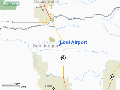
Location: |
San Joaquin County, CA |
|
Magnetic Variation: |
16E (1985) |
Owner
& Manager
|
Ownership: |
Privately owned |
|
Owner: |
Robert Kupka |
|
Address: |
P.o. Box 10
Acampo, CA 95220 |
|
Phone number: |
209-369-9126 |
|
Manager: |
Robert Kupka |
|
Address: |
23987 North Hwy 99
Acampo, CA 95220 |
|
Phone number: |
209-369-9126 |
Airport
Operations and Facilities
|
Airport
Use: |
Open to public |
|
Wind
indicator: |
Yes |
|
Segmented
Circle: |
Yes |
|
Control
Tower: |
No |
|
Attendance
Schedule: |
ALL/ALL/0900-DUSK |
|
Lighting
Schedule: |
DUSK-DAWN |
|
Beacon
Color: |
Clear-Green (lighted land airport) |
|
Landing
fee charge: |
No |
|
Sectional
chart: |
San Francisco |
|
Region: |
AWP - Western-Pacific |
|
Traffic
Pattern Alt: |
800 ft |
|
Boundary
ARTCC: |
ZOA - Oakland |
|
Tie-in
FSS: |
RIU - Rancho Murieta |
|
FSS
on Airport: |
No |
|
FSS
Phone: |
916-354-0161 |
|
FSS
Toll Free: |
1-800-WX-BRIEF |
|
NOTAMs
Facility: |
RIU (NOTAM-d service avaliable) |
|
Federal Agreements: |
N |
Airport
Communications
Airport
Services
|
Fuel
available: |
100LL80 A
AUTOMATED CREDIT CARD FUEL SYSTEM 24 HRS DAY. |
|
Airframe
Repair: |
MAJOR |
|
Power
Plant Repair: |
MAJOR |
|
Bottled
Oxygen: |
HIGH |
|
Bulk
Oxygen: |
NONE |
|
Runway Information
Runway 08/26
|
Dimension: |
3085
x 42 ft / 940.3 x 12.8 m
660 FT TREATED STOPWAY ON WEST END. |
|
Surface: |
ASPH, Good Condition |
|
Weight
Limit: |
Single wheel: 30000 lbs. |
|
Edge
Lights: |
Non-standard lighting system
RY 08/26 NSTD LIRL LCTD 30 FT FM PAVEMENT EDGE.
EOR LIGHTS
LCTD AT DSPLCD THLD RY 26. |
|
|
Runway 08 |
Runway 26 |
|
Longitude: |
121-16-27.1000W |
121-15-48.4360W |
|
Latitude: |
38-12-11.1000N |
38-12-09.7980N |
|
Elevation: |
53.00 ft |
58.00 ft |
|
Alignment: |
92 |
127 |
|
Traffic
Pattern: |
Left |
Right |
|
Markings: |
Basic, Good Condition |
Basic, Good Condition |
|
Displaced
threshold: |
0.00
ft |
860.00 ft
DSPLCD THR MKD WITH 3 FT WIDE WHITE BAR. |
|
Obstruction: |
35 ft pole, 50.0 ft from runway, 165 ft right
of centerline, 1:1 slope to clear |
30 ft pole, 240.0 ft from runway, 90 ft left
of centerline, 1:1 slope to clear
APCH RATIO 27:1 FM DSPLCD THR; APCH RATIO FM DSPLCD THR TO
+58 FT ANTENNA 1400 FT FM DSPLCD THR 24:1.
RY 26 +15' FRONTAGE ROAD 110 FM RY END AND +20' FREEWAY 150'
FM RY END. ALL
125' R - 125' L. |
|
Runway 12/30
|
Dimension: |
2070
x 26 ft / 630.9 x 7.9 m
660 FT TREATED STOPWAY ON WEST END. |
|
Surface: |
ASPH, Good Condition |
|
Surface
Treatment: |
Saw-cut or plastic Grooved |
|
Weight
Limit: |
Single wheel: 30000 lbs. |
|
|
Runway 12 |
Runway 30 |
|
Longitude: |
121-16-13.4170W |
121-15-55.0060W |
|
Latitude: |
38-12-13.2140N |
38-11-58.8730N |
|
Elevation: |
54.00 ft |
58.00 ft |
|
Alignment: |
127 |
127 |
|
Traffic
Pattern: |
Left |
Left |
|
Markings: |
Numbers only, Good Condition |
Numbers only, Good Condition |
|
Displaced
threshold: |
0.00
ft |
100.00 ft |
|
Obstruction: |
35 ft tree, 560.0 ft from runway, 80 ft right
of centerline, 10:1 slope to clear
RY 12 +15' ROAD 0'-165' FM RY END 50' R 125' L. |
40 ft tree, 750.0 ft from runway, 160 ft left
of centerline, 13:1 slope to clear
APCH RATIO 17:1 FROM DSPLCD THR. |
|
Radio Navigation
Aids
|
ID |
Type |
Name |
Ch |
Freq |
Var |
Dist |
|
TCY |
NDB |
Tracy |
|
203.00 |
15E |
31.8 nm |
|
LV |
NDB |
Reiga |
|
374.00 |
16E |
36.5 nm |
|
SUU |
TACAN |
Travis |
113X |
|
17E |
32.1 nm |
|
TZZ |
VOR |
Travis |
|
116.40 |
17E |
27.0 nm |
|
MCC |
VOR/DME |
Mc Clellan |
029X |
109.20 |
17E |
28.7 nm |
|
MOD |
VOR/DME |
Modesto |
093X |
114.60 |
17E |
37.6 nm |
|
CCR |
VOR/DME |
Concord |
117X |
117.00 |
17E |
37.9 nm |
|
HNW |
VOR/DME |
Hangtown |
102X |
115.50 |
17E |
39.8 nm |
|
LIN |
VORTAC |
Linden |
095X |
114.80 |
17E |
14.7 nm |
|
SAC |
VORTAC |
Sacramento |
099X |
115.20 |
17E |
19.7 nm |
|
ECA |
VORTAC |
Manteca |
107X |
116.00 |
17E |
22.6 nm |
|
SAC |
VOT |
Sacramento Executive |
|
111.40 |
|
21.6 nm |
|
SMF |
VOT |
Sacramento Metropolitan |
|
111.40 |
|
33.0 nm |
Remarks
- PARACHUTE
DROP ZONE LOCATED APPROXIMATLY 1000' SOUTH OF RWY 08/26.
- PREDATES
1958 FA ACT.
Based Aircraft
|
Aircraft
based on field: |
189 |
|
Single
Engine Airplanes: |
153 |
|
Multi
Engine Airplanes: |
17 |
|
Helicopters: |
3 |
|
Gliders: |
1 |
|
Ultralights: |
15 |
Operational Statistics
|
Aircraft
Operations: |
88/Day |
|
Air Taxi: |
1.6% |
|
General
Aviation Local: |
51.6% |
|
General
Aviation Itinerant: |
46.9% |
Lodi Airport
Address:
San Joaquin County, CA
Tel:
209-369-9126
Images
and information placed above are from
http://www.airport-data.com/airport/1O3/
We
thank them for the data!
| General
Info |
| Country |
United
States |
| State |
CALIFORNIA
|
| FAA ID |
1O3
|
| Latitude |
38-12-08.700N
|
| Longitude |
121-16-06.300W
|
| Elevation |
58 feet
|
| Near City |
LODI
|
We don't guarantee the information is fresh and accurate. The data may
be wrong or outdated.
For more up-to-date information please refer to other sources.
|
|