 |
|
|
|
|
|
Location
& QuickFacts
|
FAA
Information Effective: |
2006-09-28 |
|
Airport
Identifier: |
17CL |
|
Longitude/Latitude: |
122-16-24.8950W/37-05-16.8120N
-122.273582/37.088003 (Estimated) |
|
Elevation: |
125 ft / 38.10 m (Estimated) |
|
Land: |
8 acres |
|
From
nearest city: |
6 nautical miles NW of Davenport, CA |
|
Location: |
Santa Cruz County, CA |
|
Magnetic Variation: |
16E (1985) |
Owner
& Manager
|
Ownership: |
Privately owned |
|
Owner: |
Homer T. Mc Crary |
|
Address: |
Big Creek Lbr Co 3564 Hwy 1
Davenport, CA 95017 |
|
Phone number: |
408-423-4156 |
|
Manager: |
Homer T. Mc Crary |
|
Address: |
3564 Hwy 1
Davenport, CA 95017 |
|
Phone number: |
408-423-4156 |
Airport
Operations and Facilities
|
Airport Use: |
Private |
|
Wind indicator: |
Yes |
|
Segmented Circle: |
No |
|
Control Tower: |
No |
|
Attendance Schedule: |
UNATNDD |
|
Landing fee charge: |
No |
|
Sectional chart: |
San Francisco |
|
Region: |
AWP - Western-Pacific |
|
Boundary ARTCC: |
ZOA - Oakland |
|
Tie-in FSS: |
OAK - Oakland |
|
FSS on Airport: |
No |
|
FSS Phone: |
510-273-6111 |
|
FSS Toll Free: |
1-800-WX-BRIEF |
Airport
Services
|
Airframe
Repair: |
NONE |
|
Power
Plant Repair: |
NONE |
|
Runway Information
Runway 14/32
|
Dimension: |
1300 x 30 ft / 396.2 x 9.1 m |
|
Surface: |
GRAVEL, |
|
|
Runway 14 |
Runway 32 |
|
Traffic
Pattern: |
Right |
Left |
|
Radio Navigation
Aids
|
ID |
Type |
Name |
Ch |
Freq |
Var |
Dist |
|
PDG |
NDB |
Pajar |
|
327.00 |
17E |
24.7 nm |
|
LV |
NDB |
Reiga |
|
374.00 |
16E |
46.0 nm |
|
NUQ |
TACAN |
Moffett |
123X |
|
17E |
23.1 nm |
|
SJC |
VOR/DME |
San Jose |
088X |
114.10 |
16E |
23.3 nm |
|
SFO |
VOR/DME |
San Francisco |
105X |
115.80 |
17E |
32.3 nm |
|
OSI |
VORTAC |
Woodside |
086X |
113.90 |
17E |
18.3 nm |
|
OAK |
VORTAC |
Oakland |
115X |
116.80 |
17E |
38.4 nm |
|
SNS |
VORTAC |
Salinas |
120X |
117.30 |
17E |
41.1 nm |
|
SAU |
VORTAC |
Sausalito |
109X |
116.20 |
17E |
47.6 nm |
|
SFO |
VOT |
San Francisco Intl |
|
111.00 |
|
32.3 nm |
Remarks
- TURBULENCE
SW END DURING NW WIND IN EXCESS OF 15 KTS.
- P-LINE
200' E OF RWY.
- PHONE
OR CONTACT OWNER BEFORE LANDING.
- FORM
2681 FILED FOR RECORDS.
Based
Aircraft
|
Aircraft
based on field: |
1 |
|
Single
Engine Airplanes: |
1 |
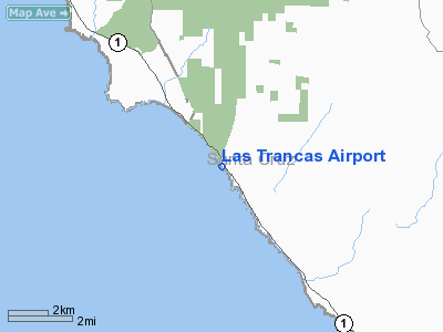
Las Trancas Airport
Address:
Santa Cruz County, CA
Tel:
408-423-4156
Images
and information placed above are from
http://www.airport-data.com/airport/17CL/
We
thank them for the data!
| General
Info |
| Country |
United
States |
| State |
CALIFORNIA
|
| FAA ID |
17CL
|
| Latitude |
37-05-16.812N
|
| Longitude |
122-16-24.895W
|
| Elevation |
125 feet
|
| Near City |
DAVENPORT
|
We don't guarantee the information is fresh and accurate. The data may
be wrong or outdated.
For more up-to-date information please refer to other sources.
|
|


