 |
|
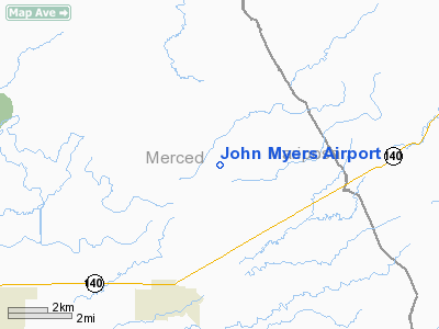
Location
& QuickFacts
|
FAA
Information Effective: |
2006-09-28 |
|
Airport
Identifier: |
CA03 |
|
Longitude/Latitude: |
120-17-38.6610W/37-20-59.7850N
-120.294073/37.349940 (Estimated) |
|
Elevation: |
280 ft / 85.34 m (Estimated) |
|
Land: |
0 acres |
|
From
nearest city: |
4 nautical miles NE of Planada, CA |
|
Location: |
Merced County, CA |
|
Magnetic Variation: |
15E (1985) |
Owner
& Manager
|
Ownership: |
Privately owned |
|
Owner: |
John Myers |
|
Address: |
3250 Airflite Way
Long Beach, CA 90807 |
|
Manager: |
John Myers |
|
Address: |
3250 Airflite Way
Long Beach, CA 90807 |
Airport
Operations and Facilities
|
Airport
Use: |
Private |
|
Wind
indicator: |
Yes |
|
Segmented
Circle: |
No |
|
Control
Tower: |
No |
|
Attendance
Schedule: |
UNATNDD |
|
Landing
fee charge: |
No |
|
Sectional
chart: |
San Francisco |
|
Region: |
AWP - Western-Pacific |
|
Boundary
ARTCC: |
ZOA - Oakland |
|
Tie-in
FSS: |
RIU - Rancho Murieta |
|
FSS
on Airport: |
No |
|
FSS
Phone: |
916-354-0161 |
|
FSS
Toll Free: |
1-800-WX-BRIEF |
|
Runway Information
Runway 02/20
|
Dimension: |
3000 x 30 ft / 914.4 x 9.1 m |
|
Surface: |
TRTD, |
|
|
Runway 02 |
Runway 20 |
|
Traffic
Pattern: |
Left |
Left |
|
Radio Navigation
Aids
|
ID |
Type |
Name |
Ch |
Freq |
Var |
Dist |
|
FCH |
NDB |
Chandler |
|
344.00 |
15E |
43.6 nm |
|
CUK |
NDB |
Academy |
|
266.00 |
14E |
48.8 nm |
|
HYP |
VOR/DME |
El Nido |
089X |
114.20 |
15E |
9.3 nm |
|
MOD |
VOR/DME |
Modesto |
093X |
114.60 |
17E |
35.8 nm |
|
CZQ |
VORTAC |
Clovis |
076X |
112.90 |
15E |
36.2 nm |
|
FRA |
VORTAC |
Friant |
103X |
115.60 |
17E |
36.5 nm |
|
PXN |
VORTAC |
Panoche |
073X |
112.60 |
16E |
44.7 nm |
Based Aircraft
|
Aircraft
based on field: |
1 |
|
Helicopters: |
1 |
John Myers Airport
Address:
Merced County, CA
Tel:
Images
and information placed above are from
http://www.airport-data.com/airport/CA03/
We
thank them for the data!
| General
Info |
| Country |
United
States |
| State |
CALIFORNIA
|
| FAA ID |
CA03
|
| Latitude |
37-20-59.785N
|
| Longitude |
120-17-38.661W
|
| Elevation |
280 feet
|
| Near City |
PLANADA
|
We don't guarantee the information is fresh and accurate. The data may
be wrong or outdated.
For more up-to-date information please refer to other sources.
|
|


