 |
|
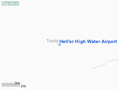
Hell'er High Water Airport |
|
|
Location
& QuickFacts
|
FAA
Information Effective: |
2006-06-08 |
|
Airport
Identifier: |
45CL |
|
Longitude/Latitude: |
123-23-54.0840W/40-08-35.5330N
-123.398357/40.143204 (Estimated) |
|
Elevation: |
2493 ft / 759.87 m (Estimated) |
|
Land: |
20 acres |
|
From
nearest city: |
6 nautical miles SE of Zenia, CA |
|
Location: |
Trinity County, CA |
|
Magnetic Variation: |
17E (1985) |
Owner
& Manager
|
Ownership: |
Privately owned |
|
Owner: |
Andrew Heller |
|
Address: |
Po Box 24
Zenia, CA 95595 |
|
Phone number: |
707-444-5895 |
|
Manager: |
E. Barnes |
|
Address: |
Po Box 24
Zenia, CA 95595 |
|
Phone number: |
707-444-5895 |
Airport
Operations and Facilities
|
Airport Use: |
Private |
|
Wind indicator: |
Yes |
|
Segmented Circle: |
No |
|
Control Tower: |
No |
|
Attendance Schedule: |
UNATNDD |
|
Landing fee charge: |
No |
|
Sectional chart: |
Klamath Falls |
|
Region: |
AWP - Western-Pacific |
|
Traffic Pattern Alt: |
800 ft |
|
Boundary ARTCC: |
ZOA - Oakland |
|
Tie-in FSS: |
OAK - Oakland |
|
FSS on Airport: |
No |
|
FSS Phone: |
510-273-6111 |
|
FSS Toll Free: |
1-800-WX-BRIEF |
Airport
Services
|
Airframe
Repair: |
NONE |
|
Power
Plant Repair: |
NONE |
|
Bottled
Oxygen: |
NONE |
|
Bulk
Oxygen: |
NONE |
|
Runway Information
Runway 18/36
|
Dimension: |
2600 x 50 ft / 792.5 x 15.2 m |
|
Surface: |
DIRT, Fair Condition |
|
|
Runway 18 |
Runway 36 |
|
Traffic
Pattern: |
Left |
Right |
|
Runway
End Identifier: |
No |
No |
|
Centerline
Lights: |
No |
No |
|
Touchdown
Lights: |
No |
No |
|
Obstruction: |
20 ft trees, 300.0 ft from runway, 50 ft right
of centerline, 15:1 slope to clear |
80 ft trees, 1500.0 ft from runway, 80 ft left
of centerline, 19:1 slope to clear |
|
Radio Navigation
Aids
|
ID |
Type |
Name |
Ch |
Freq |
Var |
Dist |
|
FOT |
VORTAC |
Fortuna |
087X |
114.00 |
19E |
49.7 nm |
Remarks
- WRITTEN
PERMISSION REQUIRED TO USE AIRSTRIP.
- VFR
ONLY.
Based Aircraft
|
Aircraft
based on field: |
1 |
|
Multi
Engine Airplanes: |
1 |
Operational Statistics
|
Aircraft
Operations: |
20/Week |
|
General
Aviation Local: |
30.0% |
|
General
Aviation Itinerant: |
70.0% |
Hell'er High Water Airport
Address:
Trinity County, CA
Tel:
707-444-5895
Images
and information placed above are from
http://www.airport-data.com/airport/45CL/
We
thank them for the data!
| General
Info |
| Country |
United
States |
| State |
CALIFORNIA
|
| FAA ID |
45CL
|
| Latitude |
40-08-35.533N
|
| Longitude |
123-23-54.084W
|
| Elevation |
2493 feet
|
| Near City |
ZENIA
|
We don't guarantee the information is fresh and accurate. The data may
be wrong or outdated.
For more up-to-date information please refer to other sources.
|
|


