|
|
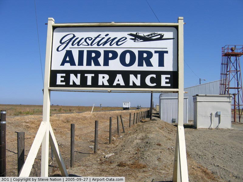
| Gustine Airport |
| IATA: none – ICAO: none – FAA LID: 3O1 |
| Summary |
| Airport type |
Public |
| Owner |
City of Gustine |
| Location |
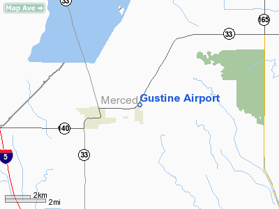
Gustine, California |
| Elevation AMSL |
75 ft / 23 m |
| Coordinates |
37°15′46″N 120°57′48″W / 37.26278°N 120.96333°W / 37.26278; -120.96333Coordinates: 37°15′46″N 120°57′48″W / 37.26278°N 120.96333°W / 37.26278; -120.96333 |
| Runways |
| Direction |
Length |
Surface |
| ft |
m |
| 18/36 |
3,200 |
975 |
Asphalt |
| Statistics (2009) |
| Aircraft Operations |
8000 |
| Based Aircraft |
26 |
| Source: Federal Aviation Administration |
Gustine Airport (FAA LID: 3O1) is a public airport located two miles (3.2 km) east of Gustine, serving Merced County, California, USA. The airport is mostly used for general aviation.
Facilities and aircraft
Gustine Airport covers an area of 45 acres (18 ha) which contains one asphalt paved runway (18/36) measuring 3,200 x 60 ft (975 x 18 m).
For the 12-month period ending April 16, 2009, the airport had 8,000 aircraft operations, an average of 22 per day: 100% general aviation, 0% air taxi, 0% scheduled commercial, and 0% military. There are 26 aircraft based at this airport: 23 single engine, one multi-engine, two ultralights, and no jet aircraft.
The above content comes from Wikipedia and is published under free licenses – click here to read more.
|
 |
(Click on the photo to enlarge) |
|
 |
(Click on the photo to enlarge) |
Location
& QuickFacts
|
FAA
Information Effective: |
2006-06-08 |
|
Airport
Identifier: |
3O1 |
|
Longitude/Latitude: |
120-57-47.7310W/37-15-45.7820N
-120.963259/37.262717 (Estimated) |
|
Elevation: |
75 ft / 22.86 m (Estimated) |
|
Land: |
45 acres |
|
From
nearest city: |
2 nautical miles E of Gustine, CA |
|
Location: |
Merced County, CA |
|
Magnetic Variation: |
16E (1985) |
Owner
& Manager
|
Ownership: |
Publicly owned |
|
Owner: |
City Of Gustine |
|
Address: |
Po Box 16
Gustine, CA 95322-0016 |
|
Phone
number: |
209-854-6471 |
|
Manager: |
Donald V. Hutchins, Chief Of Police
CHIEF OF POLICE & CITY MGR. |
|
Address: |
Po Box 16
Gustine, CA 95322-0016 |
|
Phone number: |
209-854-3737
CITY HALL |
Airport
Operations and Facilities
|
Airport
Use: |
Open to public |
|
Wind
indicator: |
Yes |
|
Segmented
Circle: |
Yes |
|
Control
Tower: |
No |
|
Attendance
Schedule: |
UNATNDD |
|
Lighting
Schedule: |
DUSK-DAWN
MIRL RY 18/36 PRESET LOW INTST TO INCR INTST & ACTVT
VASI RY 18 & RY 36 - CTAF. |
|
Beacon
Color: |
Clear-Green (lighted land airport) |
|
Landing
fee charge: |
No |
|
Sectional
chart: |
San Francisco |
|
Region: |
AWP - Western-Pacific |
|
Traffic
Pattern Alt: |
800 ft |
|
Boundary
ARTCC: |
ZOA - Oakland |
|
Tie-in
FSS: |
RIU - Rancho Murieta |
|
FSS
on Airport: |
No |
|
FSS
Phone: |
916-354-0161 |
|
FSS
Toll Free: |
1-800-WX-BRIEF |
|
NOTAMs
Facility: |
RIU (NOTAM-d service avaliable) |
|
Federal Agreements: |
NGY |
Airport
Communications
Airport
Services
|
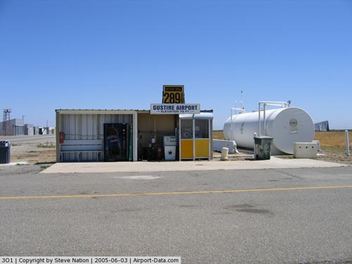
Fuel
available: |
100LL
FOR FUEL BTN 0800-1630 CALL 209-854-6471; AFT 1630 CALL
209-854-1010 AND PAGE PUBLIC WORKS. |
|
Runway Information
Runway 18/36
|
Dimension: |
3200 x 60 ft / 975.4 x 18.3 m |
|
Surface: |
ASPH, Fair Condition |
|
Weight
Limit: |
Single wheel: 12000 lbs. |
|
Edge
Lights: |
Medium |
|
|
Runway 18 |
Runway 36 |
|
Elevation: |
75.00 ft |
75.00 ft |
|
Traffic
Pattern: |
Left |
Left |
|
Markings: |
Basic, Good Condition |
Basic, Good Condition |
|
Crossing
Height: |
29.00 ft |
29.00 ft |
|
VASI: |
2-box on left side |
2-box on left side |
|
Visual
Glide Angle: |
3.00� |
3.00� |
|
Runway
End Identifier: |
No |
No |
|
Centerline
Lights: |
No |
No |
|
Touchdown
Lights: |
No |
No |
|
Obstruction: |
15 ft road, 490.0 ft from runway, 155 ft right
of centerline, 19:1 slope to clear |
29 ft , 1259.0 ft from runway, 36:1 slope to
clear |
|
Radio Navigation
Aids
|
ID |
Type |
Name |
Ch |
Freq |
Var |
Dist |
|
TCY |
NDB |
Tracy |
|
203.00 |
15E |
34.6 nm |
|
LV |
NDB |
Reiga |
|
374.00 |
16E |
43.0 nm |
|
PDG |
NDB |
Pajar |
|
327.00 |
17E |
45.6 nm |
|
MOD |
VOR/DME |
Modesto |
093X |
114.60 |
17E |
21.9 nm |
|
HYP |
VOR/DME |
El Nido |
089X |
114.20 |
15E |
27.1 nm |
|
SJC |
VOR/DME |
San Jose |
088X |
114.10 |
16E |
47.4 nm |
|
PXN |
VORTAC |
Panoche |
073X |
112.60 |
16E |
34.1 nm |
|
ECA |
VORTAC |
Manteca |
107X |
116.00 |
17E |
35.7 nm |
|
SNS |
VORTAC |
Salinas |
120X |
117.30 |
17E |
47.3 nm |
|
LIN |
VORTAC |
Linden |
095X |
114.80 |
17E |
48.8 nm |
Remarks
- 675
X 50 PAVED STOPWAY AT NORTH END OF RWY UNUSABLE FOR TKOF/LNDG.
- RY
36 PLINE NOT EASILY DISCERNIBLE FM THE AIR.
- BIRD
ACTIVITY INVOF ARPT.
Based Aircraft
|
Aircraft
based on field: |
22 |
|
Single
Engine Airplanes: |
19 |
|
Multi
Engine Airplanes: |
1 |
|
Ultralights: |
2 |
Operational Statistics
|
Aircraft
Operations: |
154/Week |
|
General
Aviation Local: |
75.0% |
|
General
Aviation Itinerant: |
25.0% |
Gustine Airport
Address:
Merced County, CA
Tel:
209-854-6471,
209-854-3737
Images
and information placed above are from
http://www.airport-data.com/airport/3O1/
We
thank them for the data!
| General
Info |
| Country |
United
States |
| State |
CALIFORNIA
|
| FAA ID |
3O1
|
| Latitude |
37-15-45.782N
|
| Longitude |
120-57-47.731W
|
| Elevation |
75 feet
|
| Near City |
GUSTINE
|
We don't guarantee the information is fresh and accurate. The data may
be wrong or outdated.
For more up-to-date information please refer to other sources.
|
|