 |
|
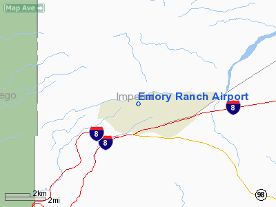
Location
& QuickFacts
|
FAA
Information Effective: |
2006-06-08 |
|
Airport
Identifier: |
0CA6 |
|
Longitude/Latitude: |
116-00-58.0000W/32-44-58.0000N
-116.016111/32.749444 (Estimated) |
|
Elevation: |
480 ft / 146.30 m (Estimated) |
|
Land: |
0 acres |
|
From
nearest city: |
2 nautical miles NW of Ocotillo, CA |
|
Location: |
Imperial County, CA |
|
Magnetic Variation: |
13E (1995) |
Owner
& Manager
|
Ownership: |
Privately owned |
|
Owner: |
Neil Emory |
|
Address: |
P.o. Box 52
Ocotillo, CA 92259 |
|
Phone
number: |
619-358-7520 |
|
Manager: |
Neil Emory |
|
Address: |
P.o. Box 52
Ocotillo, CA 92259 |
|
Phone number: |
619-358-7520 |
Airport
Operations and Facilities
|
Airport Use: |
Private |
|
Wind indicator: |
Yes |
|
Segmented Circle: |
No |
|
Control Tower: |
No |
|
Attendance Schedule: |
UNATNDD |
|
Sectional chart: |
Los Angeles |
|
Region: |
AWP - Western-Pacific |
|
Boundary ARTCC: |
ZLA - Los Angeles |
|
Tie-in FSS: |
SAN - San Diego |
|
FSS Phone: |
858-277-7043 |
|
FSS Toll Free: |
1-800-WX-BRIEF |
Airport
Communications
|
Runway Information
Runway 04/22
|
Dimension: |
2400 x 40 ft / 731.5 x 12.2 m |
|
Surface: |
ASPH, |
|
|
Runway 04 |
Runway 22 |
|
Traffic
Pattern: |
Left |
Left |
|
Radio Navigation
Aids
|
ID |
Type |
Name |
Ch |
Freq |
Var |
Dist |
|
NJK |
TACAN |
El Centro |
047X |
|
13E |
17.6 nm |
|
MXL |
VOR/DME |
Mexicali |
097X |
115.00 |
14E |
40.8 nm |
|
TIJ |
VOR/DME |
Tijuana |
112X |
116.50 |
14E |
49.1 nm |
|
IPL |
VORTAC |
Imperial |
106X |
115.90 |
14E |
25.7 nm |
|
JLI |
VORTAC |
Julian |
087X |
114.00 |
15E |
37.1 nm |
|
PGY |
VORTAC |
Poggi |
035X |
109.80 |
14E |
49.4 nm |
|
SEE |
VOT |
Gillespie Field |
|
110.00 |
|
48.6 nm |
Remarks
- 50
PLINE 1.5 MILES NORTH, NW AND WEST OF ARPT.
- PROVIDED
VFR PVT USE.
Emory Ranch Airport
Address:
Imperial County, CA
Tel:
619-358-7520
Images
and information placed above are from
http://www.airport-data.com/airport/0CA6/
We
thank them for the data!
| General
Info |
| Country |
United
States |
| State |
CALIFORNIA
|
| FAA ID |
0CA6
|
| Latitude |
32-44-58.000N
|
| Longitude |
116-00-58.000W
|
| Elevation |
480 feet
|
| Near City |
OCOTILLO
|
We don't guarantee the information is fresh and accurate. The data may
be wrong or outdated.
For more up-to-date information please refer to other sources.
|
|


