 |
|
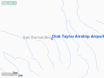
Dick Taylor Airstrip Airport |
Location
& QuickFacts
|
FAA
Information Effective: |
2006-06-08 |
|
Airport
Identifier: |
43CA |
|
Longitude/Latitude: |
115-43-59.9910W/34-52-54.9590N
-115.733331/34.881933 (Estimated) |
|
Elevation: |
2611
ft / 795.83 m (Surveyed) |
|
Land: |
0
acres |
|
From
nearest city: |
8 nautical miles SW of Kelso, CA |
|
Location: |
San Bernardino County, CA |
|
Magnetic Variation: |
14E (1985) |
Owner
& Manager
|
Ownership: |
Privately
owned |
|
Owner: |
Art
Parker |
|
Address: |
6652 Mesquite Avenue
Twentynine Palms, CA 92277 |
|
Phone
number: |
619-367-7730 |
|
Manager: |
Bill
Bouldin |
|
Address: |
6642 Mesquite Ave.
Twentynine Palms, CA 92277 |
|
Phone number: |
619-367-6986 |
Airport Operations and Facilities
|
Airport
Use: |
Private |
|
Wind
indicator: |
Yes |
|
Segmented Circle: |
No |
|
Control
Tower: |
No |
|
Attendance Schedule: |
UNATNDD |
|
Landing
fee charge: |
No |
|
Sectional chart: |
Phoenix |
|
Region: |
AWP
- Western-Pacific |
|
Boundary
ARTCC: |
ZLA
- Los Angeles |
|
Tie-in
FSS: |
RAL
- Riverside |
|
FSS
on Airport: |
No |
|
FSS
Phone: |
951-351-3020 |
|
FSS
Toll Free: |
1-800-WX-BRIEF |
|
Runway Information
Runway 07/25
|
Dimension: |
4000
x 50 ft / 1219.2 x 15.2 m |
|
Surface: |
DIRT, |
|
|
Runway 07 |
Runway 25 |
|
Traffic
Pattern: |
Left |
Left |
|
Radio Navigation
Aids
|
ID |
Type |
Name |
Ch |
Freq |
Var |
Dist |
|
NXP |
TACAN |
Coyote |
063X |
|
14E |
41.0 nm |
|
GFS |
VORTAC |
Goffs |
091X |
114.40 |
15E |
31.2 nm |
|
HEC |
VORTAC |
Hector |
074X |
112.70 |
15E |
36.4 nm |
|
DAG |
VORTAC |
Daggett |
079X |
113.20 |
15E |
41.9 nm |
|
TNP |
VORTAC |
Twentynine Palms |
089X |
114.20 |
15E |
46.3 nm |
Remarks
Dick Taylor Airstrip Airport
Address: San
Bernardino County, CA
Tel:
619-367-7730,
619-367-6986
Images
and information placed above are from
http://www.airport-data.com/airport/43CA/
We
thank them for the data!
| General
Info |
| Country |
United
States |
| State |
CALIFORNIA
|
| FAA ID |
43CA |
| Latitude |
34-52-54.959N
|
| Longitude |
115-43-59.991W
|
| Elevation |
2611 feet
|
| Near City |
KELSO
|
We don't guarantee the information is fresh and accurate. The data may
be wrong or outdated.
For more up-to-date information please refer to other sources.
|
|


