 |
|
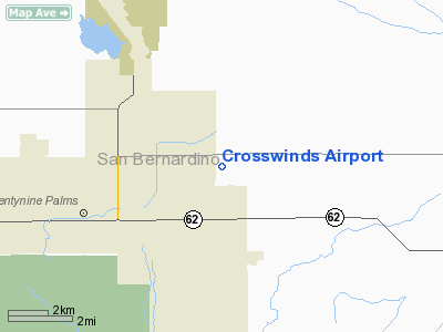
Location
& QuickFacts
|
FAA
Information Effective: |
2006-06-08 |
|
Airport
Identifier: |
2CA3 |
|
Longitude/Latitude: |
115-59-51.0020W/34-09-36.0040N
-115.997501/34.160001 (Estimated) |
|
Elevation: |
1835
ft / 559.31 m (Surveyed) |
|
Land: |
78
acres |
|
From
nearest city: |
4 nautical miles NE of Twentynine Palms,
CA |
|
Location: |
San Bernardino County, CA |
|
Magnetic Variation: |
14E (1985) |
Owner
& Manager
|
Ownership: |
Privately owned |
|
Owner: |
Joe Silvas |
|
Address: |
348 South 8th St
Santa Paula, CA 93060 |
|
Phone number: |
805-525-3526 |
|
Manager: |
Don Dench |
|
Address: |
Po Box 141
29 Palms, CA 92277 |
|
Phone number: |
619-367-7760 |
Airport
Operations and Facilities
|
Airport
Use: |
Private |
|
Wind
indicator: |
Yes |
|
Segmented
Circle: |
Yes |
|
Control
Tower: |
No |
|
Attendance
Schedule: |
ALL/ALL/IRREGULAR |
|
Landing
fee charge: |
No |
|
Sectional
chart: |
Los Angeles |
|
Region: |
AWP - Western-Pacific |
|
Boundary
ARTCC: |
ZLA - Los Angeles |
|
Tie-in
FSS: |
RAL - Riverside |
|
FSS
on Airport: |
No |
|
FSS
Phone: |
951-351-3020 |
|
FSS
Toll Free: |
1-800-WX-BRIEF |
|
Runway Information
Runway 09/27
|
Dimension: |
2600 x 200 ft / 792.5 x 61.0 m |
|
Surface: |
DIRT, |
|
|
Runway 09 |
Runway 27 |
|
Traffic
Pattern: |
Right |
Left |
|
Runway 18/36
|
Dimension: |
1400 x 200 ft / 426.7 x 61.0 m |
|
Surface: |
DIRT, |
|
|
Runway 18 |
Runway 36 |
|
Traffic
Pattern: |
Right |
Left |
|
Radio Navigation
Aids
|
ID |
Type |
Name |
Ch |
Freq |
Var |
Dist |
|
NXP |
TACAN |
Coyote |
063X |
|
14E |
11.4 nm |
|
TNP |
VORTAC |
Twentynine Palms |
089X |
114.20 |
15E |
11.7 nm |
|
PSP |
VORTAC |
Palm Springs |
102X |
115.50 |
13E |
27.7 nm |
|
TRM |
VORTAC |
Thermal |
109X |
116.20 |
13E |
33.0 nm |
|
HEC |
VORTAC |
Hector |
074X |
112.70 |
15E |
44.7 nm |
Remarks
- ESTABD
PRIOR TO 15 MAY 1959.
Based Aircraft
|
Aircraft
based on field: |
3 |
|
Single
Engine Airplanes: |
3 |
Crosswinds Airport
Address:
San Bernardino County, CA
Tel:
805-525-3526, 619-367-7760
Images
and information placed above are from
http://www.airport-data.com/airport/2CA3/
We
thank them for the data!
| General
Info |
| Country |
United
States |
| State |
CALIFORNIA
|
| FAA ID |
2CA3
|
| Latitude |
34-09-36.004N
|
| Longitude |
115-59-51.002W
|
| Elevation |
1835 feet
|
| Near City |
TWENTYNINE
PALMS |
We don't guarantee the information is fresh and accurate. The data may
be wrong or outdated.
For more up-to-date information please refer to other sources.
|
|


