 |
|
|
|
|
|
Location
& QuickFacts
|
FAA
Information Effective: |
2006-06-08 |
|
Airport
Identifier: |
1CA1 |
|
Longitude/Latitude: |
119-43-19.4650W/35-28-04.8650N
-119.722074/35.468018 (Estimated) |
|
Elevation: |
575 ft / 175.26 m (Estimated) |
|
Land: |
0 acres |
|
From
nearest city: |
1 nautical miles NW of South Belridge, CA |
|
Location: |
Kern County, CA |
|
Magnetic Variation: |
15E (1985) |
Owner
& Manager
|
Ownership: |
Privately owned |
|
Owner: |
Shell Westn E&p Inc/kernridge |
|
Address: |
7th Standard Road
Mc Kittrick, CA 93251 |
|
Phone number: |
805-762-7311 |
|
Address: |
|
Airport
Operations and Facilities
|
Airport
Use: |
Private |
|
Wind
indicator: |
No |
|
Segmented
Circle: |
No |
|
Control
Tower: |
No |
|
Attendance
Schedule: |
UNATNDD |
|
Lighting
Schedule: |
PHONE REQ
FOR MIRL RY NW/SE CALL 805-762-7311. |
|
Landing fee charge: |
No |
|
Sectional chart: |
Los Angeles |
|
Region: |
AWP - Western-Pacific |
|
Boundary ARTCC: |
ZLA - Los Angeles |
|
Tie-in FSS: |
RIU - Rancho Murieta |
|
FSS on Airport: |
No |
|
FSS Phone: |
916-354-0161 |
|
FSS Toll Free: |
1-800-WX-BRIEF |
Airport
Communications
Airport
Services
|
Airframe
Repair: |
NONE |
|
Power
Plant Repair: |
NONE |
|
Runway
Information
Runway NW/SE
|
Dimension: |
5600 x 85 ft / 1706.9 x 25.9 m |
|
Surface: |
ASPH-TRTD, |
|
Edge
Lights: |
Medium |
|
|
Runway NW |
Runway SE |
|
Traffic
Pattern: |
Left |
Left |
|
Obstruction: |
25 ft pline, 1200.0 ft from runway |
|
|
Radio Navigation
Aids
|
ID |
Type |
Name |
Ch |
Freq |
Var |
Dist |
|
COR |
NDB |
Salyer Farms |
|
205.00 |
16E |
37.1 nm |
|
TTE |
VOR/DME |
Tule |
029X |
109.20 |
16E |
43.4 nm |
|
AVE |
VORTAC |
Avenal |
118X |
117.10 |
16E |
16.5 nm |
|
FLW |
VORTAC |
Fellows |
122X |
117.50 |
16E |
23.6 nm |
|
EHF |
VORTAC |
Shafter |
101X |
115.40 |
14E |
30.6 nm |
|
PRB |
VORTAC |
Paso Robles |
090X |
114.30 |
16E |
45.9 nm |
|
BFL |
VOT |
Bakersfield |
|
111.20 |
|
33.2 nm |
Remarks
- ESTABD
PRIOR TO 15 MAY 1959.
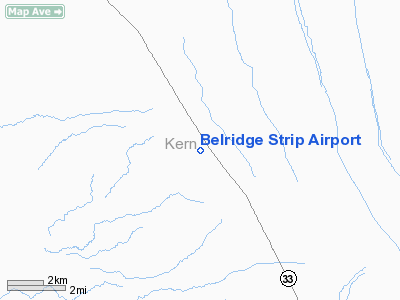
Belridge Strip Airport
Address:
Kern County, CA
Tel:
805-762-7311
Images
and information placed above are from
http://www.airport-data.com/airport/1CA1/
We
thank them for the data!
| General
Info |
| Country |
United
States |
| State |
CALIFORNIA
|
| FAA ID |
1CA1
|
| Latitude |
35-28-04.865N
|
| Longitude |
119-43-19.465W
|
| Elevation |
575 feet
|
| Near City |
SOUTH
BELRIDGE |
We don't guarantee the information is fresh and accurate. The data may
be wrong or outdated.
For more up-to-date information please refer to other sources.
|
|


