 |
|
|
|
|
|
Location
& QuickFacts
|
FAA
Information Effective: |
2006-06-08 |
|
Airport
Identifier: |
77CL |
|
Longitude/Latitude: |
119-08-13.4080W/36-43-03.8120N
-119.137058/36.717726 (Estimated) |
|
Elevation: |
2150 ft / 655.32 m (Estimated) |
|
Land: |
8 acres |
|
From
nearest city: |
2 nautical miles SW of Dunlap, CA |
|
Location: |
Fresno County, CA |
|
Magnetic Variation: |
15E (1985) |
Owner
& Manager
|
Ownership: |
Privately owned |
|
Owner: |
Donald U. & Patsy J. Hall |
|
Address: |
Po Box 35
Dunlap, CA 93621 |
|
Phone
number: |
559-338-2537 |
|
Manager: |
Donald U. & Patsy J. Hall |
|
Address: |
Po Box 35
Dunlap, CA 93621 |
|
Phone number: |
559-338-2537 |
Airport
Operations and Facilities
|
Airport
Use: |
Private |
|
Wind
indicator: |
Yes |
|
Segmented
Circle: |
No |
|
Control
Tower: |
No |
|
Attendance
Schedule: |
UNATNDD |
|
Landing
fee charge: |
No |
|
Sectional
chart: |
San Francisco |
|
Region: |
AWP - Western-Pacific |
|
Boundary
ARTCC: |
ZOA - Oakland |
|
Tie-in
FSS: |
RIU - Rancho Murieta |
|
FSS
on Airport: |
No |
|
FSS Phone: |
916-354-0161 |
|
FSS Toll Free: |
1-800-WX-BRIEF |
Airport
Services
|
Airframe
Repair: |
NONE |
|
Power
Plant Repair: |
NONE |
|
Runway
Information
Runway E/W
|
Dimension: |
3400 x 100 ft / 1036.3 x 30.5 m |
|
Surface: |
DIRT, |
|
|
Runway E |
Runway W |
|
Traffic
Pattern: |
Left |
Left |
|
Radio Navigation
Aids
|
ID |
Type |
Name |
Ch |
Freq |
Var |
Dist |
|
CUK |
NDB |
Academy |
|
266.00 |
14E |
24.0 nm |
|
FCH |
NDB |
Chandler |
|
344.00 |
15E |
33.6 nm |
|
COR |
NDB |
Salyer Farms |
|
205.00 |
16E |
43.7 nm |
|
NLC |
TACAN |
Lemoore |
080X |
|
16E |
45.9 nm |
|
VIS |
VOR/DME |
Visalia |
031X |
109.40 |
16E |
26.9 nm |
|
TTE |
VOR/DME |
Tule |
029X |
109.20 |
16E |
48.7 nm |
|
FRA |
VORTAC |
Friant |
103X |
115.60 |
17E |
32.0 nm |
|
CZQ |
VORTAC |
Clovis |
076X |
112.90 |
15E |
34.1 nm |
Remarks
- PLINES
(NOT VISIBLE) 100' EAST OF RUNWAY APCH.
- FOR
PERSONAL USE OF OWNER DURING VFR DAYLGT COND.
Based Aircraft
|
Aircraft
based on field: |
2 |
|
Single
Engine Airplanes: |
2 |
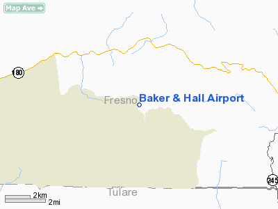
Baker & Hall Airport
Address:
Fresno County, CA
Tel:
559-338-2537
Images
and information placed above are from
http://www.airport-data.com/airport/77CL/
We
thank them for the data!
| General
Info |
| Country |
United
States |
| State |
CALIFORNIA
|
| FAA ID |
77CL
|
| Latitude |
36-43-03.812N
|
| Longitude |
119-08-13.408W
|
| Elevation |
2150 feet
|
| Near City |
DUNLAP
|
We don't guarantee the information is fresh and accurate. The data may
be wrong or outdated.
For more up-to-date information please refer to other sources.
|
|


