 |
|
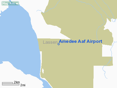
Location
& QuickFacts
|
FAA
Information Effective: |
2006-06-08 |
|
Airport
Identifier: |
AHC |
|
Longitude/Latitude: |
120-09-09.4330W/40-15-58.1850N
-120.152620/40.266163 (Estimated) |
|
Elevation: |
3934 ft / 1199.08 m (Estimated) |
|
Land: |
0 acres |
|
From
nearest city: |
9 nautical miles SS of Herlong, CA |
|
Location: |
Lassen County, CA |
|
Magnetic Variation: |
17E (1985) |
Owner
& Manager
|
Ownership: |
Army owned |
|
Owner: |
U S Army, Atca-aso |
|
Address: |
Cameron Station
Alexandria, VA 22314 |
|
Manager: |
Dan Donovan |
|
Address: |
|
|
Phone number: |
530-827-4147 |
Airport
Operations and Facilities
|
Airport
Use: |
Private |
|
Segmented
Circle: |
No |
|
Control
Tower: |
No |
|
Attendance
Schedule: |
ALL/MON-FRI/1600-2400Z EXC HOL |
|
Lighting
Schedule: |
RDO-CTL
ACTVT LGTS BY RQR 241.9. |
|
Sectional
chart: |
Klamath Falls |
|
Region: |
AWP - Western-Pacific |
|
Boundary
ARTCC: |
ZOA - Oakland |
|
Tie-in
FSS: |
RNO - Reno |
|
FSS
on Airport: |
No |
|
FSS
Phone: |
775-858-1300 |
|
FSS
Toll Free: |
1-800-WX-BRIEF |
|
NOTAMs
Facility: |
RNO (NOTAM-d service avaliable) |
Airport
Communications
|
Runway Information
Runway 08/26
|
Dimension: |
7167 x 150 ft / 2184.5 x 45.7 m |
|
Surface: |
ASPH, |
|
Edge
Lights: |
Low |
|
|
Runway 08 |
Runway 26 |
|
Traffic
Pattern: |
Left |
Left |
|
VASI: |
|
4-box on left side |
|
Radio Navigation
Aids
|
ID |
Type |
Name |
Ch |
Freq |
Var |
Dist |
|
AHC |
VOR/DME |
Amedee |
027X |
109.00 |
17E |
0.1 nm |
|
FMG |
VORTAC |
Mustang |
126X |
117.90 |
16E |
49.8 nm |
Remarks
- PPR
FROM AIRFIELD COORDINATOR V855-4193 C916-827-4293.
- LGTS:
RY 08 PORTABLE. RY 26 PORTABLE.
Amedee Aaf Airport
Address:
Lassen County, CA
Tel:
530-827-4147
Images
and information placed above are from
http://www.airport-data.com/airport/AHC/
We
thank them for the data!
| General
Info |
| Country |
United
States |
| State |
CALIFORNIA
|
| FAA ID |
AHC
|
| Latitude |
40-15-58.649N
|
| Longitude |
120-09-09.756W
|
| Elevation |
4007 feet
|
| Near City |
HERLONG
|
We don't guarantee the information is fresh and accurate. The data may
be wrong or outdated.
For more up-to-date information please refer to other sources.
|
|

