 |
|
Location
& QuickFacts
|
FAA
Information Effective: |
2006-06-08 |
|
Airport
Identifier: |
70CL |
|
Longitude/Latitude: |
116-25-33.1490W/36-17-44.8410N
-116.425875/36.295789 (Estimated) |
|
Elevation: |
2037 ft / 620.88 m (Estimated) |
|
Land: |
0 acres |
|
From
nearest city: |
1 nautical miles W of Death Valley Junction,
CA |
|
Location: |
Inyo County, CA |
|
Magnetic Variation: |
14E (1985) |
Owner
& Manager
|
Ownership: |
Privately owned |
|
Owner: |
Amargosa Opera House Inc. |
|
Address: |
Death Valley Jct, CA 92328 |
|
Manager: |
Thomas J. Willett |
|
Address: |
Box 604
Death Valley Jct, CA 92328 |
Airport
Operations and Facilities
|
Airport Use: |
Private |
|
Wind indicator: |
Yes |
|
Segmented Circle: |
No |
|
Control Tower: |
No |
|
Attendance Schedule: |
UNATNDD |
|
Landing fee charge: |
No |
|
Sectional chart: |
Las Vegas |
|
Region: |
AWP - Western-Pacific |
|
Boundary ARTCC: |
ZLA - Los Angeles |
|
Tie-in FSS: |
RAL - Riverside |
|
FSS on Airport: |
No |
|
FSS Phone: |
951-351-3020 |
|
FSS Toll Free: |
1-800-WX-BRIEF |
Airport
Services
|
Airframe
Repair: |
NONE |
|
Power
Plant Repair: |
NONE |
|
Runway Information
Runway 17/35
|
Dimension: |
1625 x 50 ft / 495.3 x 15.2 m |
|
Surface: |
DIRT, |
|
|
Runway 17 |
Runway 35 |
|
Traffic
Pattern: |
Left |
Left |
|
Obstruction: |
60 ft pline, 440.0 ft from runway |
|
|
Helipad H1
|
Dimension: |
40 x 40 ft / 12.2 x 12.2 m |
|
Surface: |
CONC, |
|
|
Runway H1 |
Runway |
|
Traffic
Pattern: |
Left |
Left |
|
Radio Navigation
Aids
|
ID |
Type |
Name |
Ch |
Freq |
Var |
Dist |
|
MCY |
NDB |
Mercury |
|
326.00 |
16E |
27.7 nm |
|
INS |
TACAN |
Indian Springs |
067X |
|
15E |
40.5 nm |
|
BTY |
VORTAC |
Beatty |
094X |
114.70 |
16E |
34.1 nm |
Remarks
Based Aircraft
|
Aircraft
based on field: |
1 |
|
Single
Engine Airplanes: |
1 |
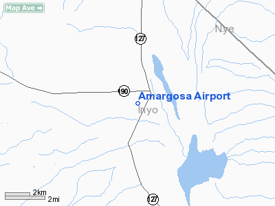
Amargosa Airport
Address:
Inyo County, CA
Tel:
Images
and information placed above are from
http://www.airport-data.com/airport/70CL/
We
thank them for the data!
| General
Info |
| Country |
United
States |
| State |
CALIFORNIA
|
| FAA ID |
70CL
|
| Latitude |
36-17-44.841N
|
| Longitude |
116-25-33.149W
|
| Elevation |
2037 feet
|
| Near City |
DEATH
VALLEY JUNCTION |
We don't guarantee the information is fresh and accurate. The data may
be wrong or outdated.
For more up-to-date information please refer to other sources.
|
|


