Erzurum Airport Turkish airports - Erzurum Airport
Turkish airports
Turkish airports
World airports
Airport photos
Aircraft photos
Spacecraft photos
Earth from airplane
Earth from space
Aviation articles

Erzurum Airport


Erzurum Airport
Erzurum Havalimanı
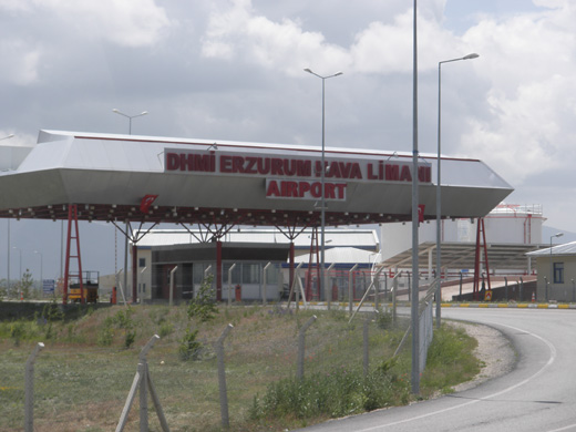
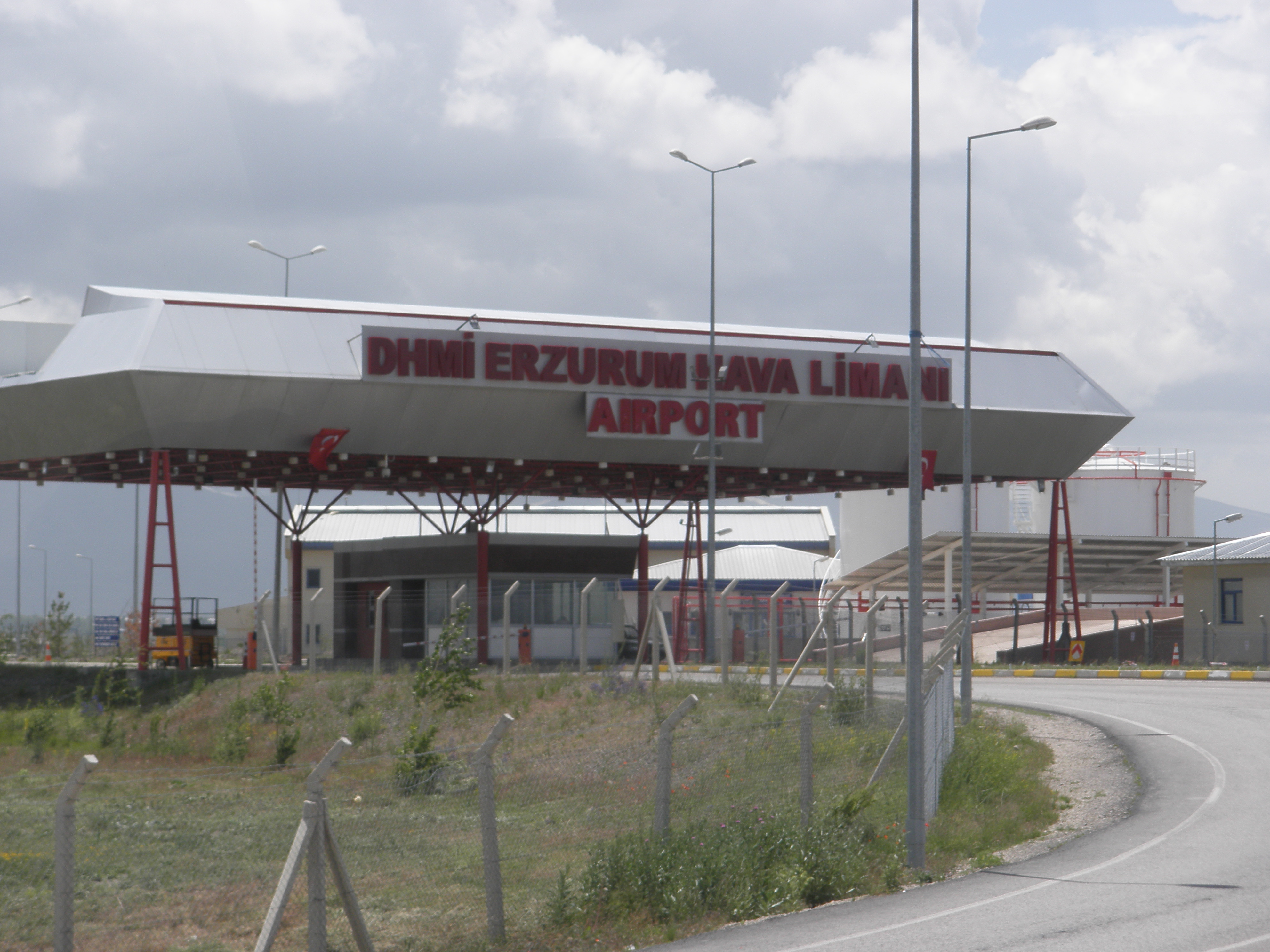
A view from Erzurum Airport
IATA: ERZ – ICAO: LTCE
Summary
Airport type Public / Military
Operator DHMİ (State Airports Administrations) / Turkish Air Force Command
Serves Erzurum, Turkey
Coordinates 39°57′19″N 41°10′09″E / 39.95528°N 41.16917°E / 39.95528; 41.16917
Runways
Direction Length Surface
ft m
08R/26L 12,500 3,810 Concrete
08L/26R 12,500 3,810 Concrete

Erzurum Airport (IATA: ERZ, ICAO: LTCE) is a military and public airport serving the city of Erzurum in eastern Turkey. Inaugurated in 1966, it is 11 km far from the city.

The airport's public passenger terminal covers an area of 5,750 m² and has an open-air parking lot for 200 cars.

Traffic

In 2006, Erzurum Airport served 4,476 civil aircraft and 453,013 passengers.

Airlines and destinations

Airlines Destinations
Borajet Bursa-Yenişehir, Sivas
Hamburg International Cologne/Bonn
Onur Air Istanbul-Atatürk
Pegasus Airlines Ankara, Istanbul-Sabiha Gökçen
Turkish Airlines Ankara, Istanbul-Atatürk,
Turkish Airlines operated by Anadolujet Istanbul-Sabiha Gökçen, Ankara
Turkish Airlines operated by SunExpress Antalya, Izmir


The above content comes from Wikipedia and is published under free licenses – click here to read more.


General Info
Country Turkey
ICAO ID LTCE
Time UTC+2(+3DT)
Latitude 39.956501
39° 57' 23.40" N
Longitude 41.170166
041° 10' 12.60" E
Elevation 5763 feet
1757 meters
Type Joint (Civil and Military)
Magnetic Variation 005° E (01/06)
Beacon Yes
Operating Agency MILITARY - CIVIL JOINT USE AIRPORT
Operating Hours SEE REMARKS FOR OPERATING HOURS OR COMMUNICATIONS FOR POSSIBLE HOURS
Daylight Saving Time Dates notified by NOTAM


Communications
TWR
Opr HO.
118.1
122.1
257.8
362.3
GND 121.95
251.25
APP
Opr HO.
118.1
122.1
257.8
362.3


Runways
ID Dimensions Surface PCN ILS
05/23
CLOSED
3051 x 49 feet
930 x 15 meters
ASPHALT - NO
08R/26L 12500 x 98 feet
3810 x 30 meters
CONCRETE. - NO
08L/26R 12499 x 148 feet
3810 x 45 meters
CONCRETE. 074RBXT YES


Navaids
Type ID Name Channel Freq Distance From Field Bearing From Navaid
TACAN ERZ ERZURUM 051X - At Field -
VOR-DME ERZ ERZURUM 102X 115.5 1.7 NM 263.1
NDB ERZ ERZURUM - 354 1.7 NM 265.5


Supplies/Equipment
Fuel JP-4, Wide cut turbine fuel MIL Spec T-5624

115/145 octane gasoline, leaded, MIL-L-5572F (PURPLE)

100/130 octane gasoline, leaded, MIL-L-5572F (GREEN)

91/96 octane gasoline, leaded, No MIL Spec.


Remarks
FUEL Avbl 0500-1400Z++ working days, OT 2 hr PN. J8(Mil) (NC-80, 100LL, 115, J)
MISC NOTAMS avbl only at AOE listed in FCG.
OPR HOURS Opr by NOTAM.


The content above was published at Airports-Worldwide.com in 2010.
We don't guarantee the information is fresh and accurate. The data may be wrong or outdated.
For more up-to-date information please refer to other sources.


christianity portal
directory of hotels worldwide


Copyright 2004-2024 © by Airports-Worldwide.com, Vyshenskoho st. 36, Lviv 79010, Ukraine
Legal Disclaimer