|
|
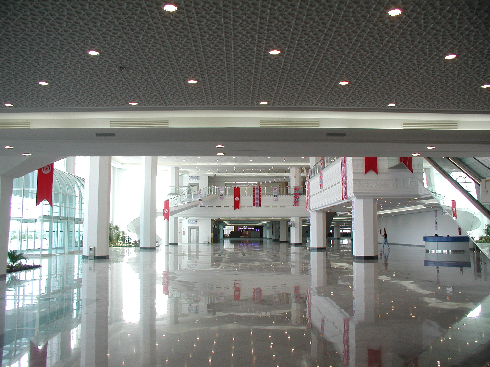
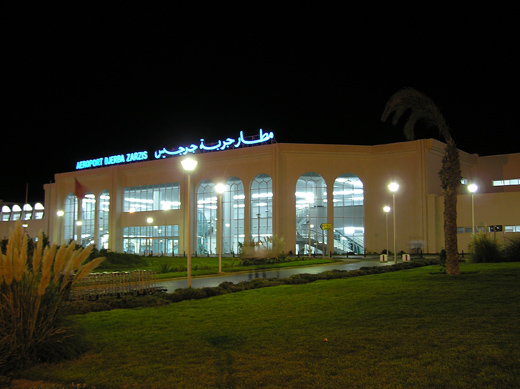
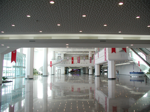
Djerba - Zarzis International Airport
Aéroport international de Djerba-Zarzis
مطار جربة جرجيس الدولي |
 |
 |
| IATA: DJE – ICAO: DTTJ |
| Summary |
| Airport type |
Public |
| Operator |
Tunisian Civil Aviation & Airports Authority |
| Location |
Djerba, Tunisia |
| Elevation AMSL |
14 ft / 4 m |
| Coordinates |
33°52′30″N 010°46′31″E / 33.875°N 10.77528°E / 33.875; 10.77528 |
| Runways |
| Direction |
Length |
Surface |
| m |
ft |
| 09/27 |
3,220 |
10,565 |
Asphalt |
| Statistics (2006) |
| Number of Passengers |
2,471,664 |
| Aircraft Movements |
24,392 |
| Aircraft Freight |
90 tonnes |
| Source: DAFIF |
Djerba - Zarzis International Airport (French: Aéroport international de Djerba-Zarzis, Arabic: مطار جربة جرجيس الدولي) (IATA: DJE, ICAO: DTTJ) is an airport serving Djerba in Tunisia. HistoryAirlines and destinations
| Airlines |
Destinations |
| Aigle Azur |
Paris-Orly |
| Air Berlin |
Berlin-Schönefeld [seasonal], Berlin-Tegel [seasonal], Cologne/Bonn [seasonal], Dresden [seasonal], Düsseldorf, Leipzig/Halle [seasonal], Munich [seasonal], Nuremberg, Paderborn/Lippstadt [seasonal] |
| Belair |
Basel/Mulhouse [seasonal], Zürich [seasonal] |
| Air Méditerranée |
Paris-Charles de Gaulle |
| Arkefly |
Amsterdam |
| Condor |
Düsseldorf, Frankfurt, Munich, Stuttgart [seasonal] |
| Jetairfly |
Brussels |
| Karthago Airlines |
Paris-Orly |
| Luxair |
Luxembourg |
| Nouvelair |
Belgrade,Lisbon [seasonal], Monastir [seasonal], Verona |
| Thomas Cook Airlines (Belgium) |
Brussels |
| transavia.com |
Amsterdam |
| transavia.com France |
Lyon, Paris-Orly |
| Sevenair |
Palermo, Tunis,Tripoli |
| Sky Work Airlines |
Berne |
| Tunisair |
Belgrade, Düsseldorf, Frankfurt, Hamburg, London-Gatwick, Luxembourg, Lyon, Munich, Nantes, Nice, Paris-Orly, Saarbrücken, Strasbourg, Tozeur |
| XL Airways France |
Lille, Paris-Charles de Gaulle |
Accidents and incidents
- On 6 August 2005, Tuninter Flight 1153, a Tuninter ATR 72 en route from Bari to Djerba, Tunisia, ditched into the Mediterranean Sea about 18 miles from the city of Palermo. Sixteen of the 39 people on board died. The accident resulted from engine fuel starvation due to the installation of ATR 42 fuel quantity indicators in the ATR 72.
The above content comes from Wikipedia and is published under free licenses – click here to read more.
| General Info
|
| Country |
Tunisia
|
| ICAO ID |
DTTJ
|
| Time |
UTC+1(+2DT)
|
| Latitude |
33.875031
33° 52' 30.11" N
|
| Longitude |
10.775461
010° 46' 31.66" E
|
| Elevation |
19 feet
6 meters
|
| Type |
Civil
|
| Magnetic Variation |
001° E (01/06)
|
| Beacon |
Yes
|
| Operating Agency |
CIVIL GOVERNMENT, (LANDING FEES AND DIPLOMATIC CLEARANCE MAY BE REQUIRED)
|
| Near City |
Jerba
|
| International Clearance Status |
Airport of Entry
|
| Communications
|
| DJERBA TWR |
118.15
|
| DJERBA APP |
120.3
|
| Runways
|
| ID |
Dimensions |
Surface |
PCN |
ILS
|
| 09/27 |
10171 x 148 feet
3100 x 45 meters |
ASPHALT |
052FBYU |
YES
|
| Navaids
|
| Type |
ID |
Name |
Channel |
Freq |
Distance From Field |
Bearing From Navaid
|
| VOR-DME |
JBA |
DJERBA |
059X |
112.2 |
At Field |
-
|
| Supplies/Equipment
|
| Fuel |
Jet A1, without icing nhibitor.
|
| Remarks
|
| CAUTION |
WIP
|
| FUEL |
(O/R 24 hr) (NC-A1)
|
| OPR HOURS |
Opr 0700-1600Z Mon-Fri; (0600-1200Z Mon-Fri DT; 0700-1300Z Mon-Fri Ramadan.)
|
The content above was published at Airports-Worldwide.com in 2010.
We don't guarantee the information is fresh and accurate. The data may be wrong or outdated.
For more up-to-date information please refer to other sources.
|
|