|
|
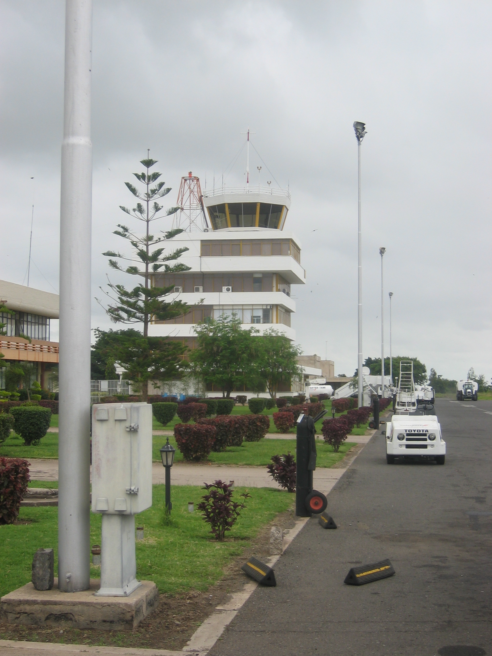
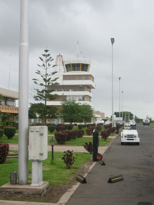
| Kilimanjaro International Airport |
 |
| IATA: JRO – ICAO: HTKJ |
| Summary |
| Airport type |
Public |
| Operator |
Kilimanjaro Airports Development Co. |
| Serves |
Arusha & Moshi, Tanzania |
| Elevation AMSL |
2,932 ft / 894 m |
| Coordinates |
03°25′46″S 037°04′28″E / 3.42944°S 37.07444°E / -3.42944; 37.07444 |
| Runways |
| Direction |
Length |
Surface |
| ft |
m |
| 09/27 |
11,834 |
3,607 |
Asphalt |
Kilimanjaro International Airport (IATA: JRO, ICAO: HTKJ) is the second, albeit small, international airport of Tanzania (the first is Julius Nyerere International Airport). It serves the Kilimanjaro area including the cities of Arusha and Moshi near Mount Kilimanjaro, and the international tourism industry based on Mount Kilimanjaro, Arusha National Park, Ngorongoro Crater, and Serengeti National Park. The airport styles itself as "the gateway to Africa's wildlife heritage".
Many international visitors also go to national parks in Kenya, to the Indian Ocean coast and islands such as Zanzibar, and to Lake Victoria, reflected in the routes of connecting flights.
Despite its small size, the airport can handle aircraft up to Boeing 747s.
The airport served 294,750 passengers in 2004.
Airlines and destinations
| Airlines |
Destinations |
| Air Burundi |
Bujumbura |
| Airkenya Express |
Mombasa, Nairobi |
| Condor |
Frankfurt |
| Edelweiss Air |
Zürich (Service starting winter 2010) |
| Fly540 |
Nairobi |
| Ethiopian Airlines |
Addis Ababa, Nairobi |
| KLM |
Amsterdam |
| Precision Air |
Dar es Salaam, Entebbe, Mwanza, Nairobi, Zanzibar |
| Regional Air Services |
Tanzania |
| RwandAir |
Kigali |
| ZanAir |
Zanzibar |
The above content comes from Wikipedia and is published under free licenses – click here to read more.
| General Info
|
| Country |
Tanzania, United Rep.of
|
| ICAO ID |
HTKJ
|
| Time |
UTC+3
|
| Latitude |
-3.429406
03° 25' 45.86" S
|
| Longitude |
37.074461
037° 04' 28.06" E
|
| Elevation |
2932 feet
894 meters
|
| Type |
Civil
|
| Magnetic Variation |
000° W (01/06)
|
| Beacon |
Yes
|
| Operating Agency |
CIVIL GOVERNMENT, (LANDING FEES AND DIPLOMATIC CLEARANCE MAY BE REQUIRED)
|
| International Clearance Status |
Airport of Entry
|
| Communications
|
| TWR |
120.1
|
| ATIS |
126.6
|
| APP |
120.1
119.9
|
| Runways
|
| ID |
Dimensions |
Surface |
PCN |
ILS
|
| 09/27 |
11834 x 148 feet
3607 x 45 meters |
ASPHALT |
060FAWT |
YES
|
| Navaids
|
| Type |
ID |
Name |
Channel |
Freq |
Distance From Field |
Bearing From Navaid
|
| VOR-DME |
KV |
KILIMANJARO |
100X |
115.3 |
1.9 NM |
267.3
|
| NDB |
KO |
KILIMANJARO |
- |
298 |
4.9 NM |
088.1
|
| Supplies/Equipment
|
| Fuel |
Jet A1, without icing nhibitor.
100/130 MIL Spec, low lead, aviation gasoline (BLUE)
|
| Oil |
O-128, 1100,(Dispersant)Reciprocating Engine Oil(MIL L 22851 Type II)
O-156, MIL L 23699 (Synthetic Base)Turboprop/Turboshaft Engine
|
| Other Fluids |
OX, Indicates oxygen servicing when type of servicing is unknown
|
| Remarks
|
| CAUTION |
Bird haz.
|
| FUEL |
Avbl 0400-1400Z, OT 24 HR PN rqr. (NC-100LL, A1)
|
| MISC |
Ldg fees. Wx.
|
| OPR HOURS |
Opr 0430-1400Z Mon-Fri.
|
The content above was published at Airports-Worldwide.com in 2010.
We don't guarantee the information is fresh and accurate. The data may be wrong or outdated.
For more up-to-date information please refer to other sources.
|
|