|
|
Yelizovo Airport
Аэропорт Елизово |
 |
| IATA: PKC – ICAO: UHPP |
| Summary |
| Airport type |
Public |
| Operator |
Petropavlovsk-Kamchatsky Air Enterprise |
| Location |
Petropavlovsk-Kamchatsky |
| Elevation AMSL |
131 ft / 40 m |
| Coordinates |
53°10′04″N 158°27′13″E / 53.16778°N 158.45361°E / 53.16778; 158.45361Coordinates: 53°10′04″N 158°27′13″E / 53.16778°N 158.45361°E / 53.16778; 158.45361 |
| Runways |
| Direction |
Length |
Surface |
| ft |
m |
| 12/30 |
735 |
224 |
Asphalt |
16R/34L
Closed |
8,235 |
2,510 |
Concrete= |
| 16L/34R |
11,155 |
3,400 |
Concrete |
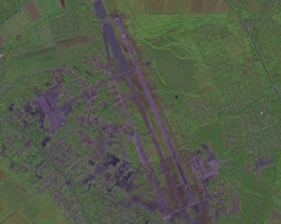
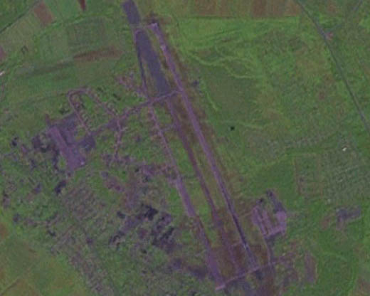
Yelizovo Airport (Russian: Аэропорт Елизово) (IATA: PKC, ICAO: UHPP) is an airport located in Petropavlovsk-Kamchatsky, Kamchatka Krai, Russia. Its runway is 3400 meters long, enough to accommodate fully loaded Boeing 747s. The main apron contains 24 parking spaces, 8 of which can service a Boeing 747; additional 8 paved spaces for smaller aircraft and 12 unpaved parking spaces.
The main military operating unit is the 865 IAP (865th Interceptor Aviation Regiment), which operates MiG-31 interceptor aircraft. Naval operations have also taken place here, most notably with the 317 OSAP (317th Separate Composite Aviation Regiment) operating Tupolev Tu-16R aircraft as late as 1992, and Beriev Be-12 and Tupolev Tu-95MS aircraft with unidentified units. Recent Google Earth high-resolution imagery revealed that the base continues to serve as an important military focal point, with 29 MiG-31 aircraft dispersed throughout the airfield and a large number of prop transports and helicopters.
Airlines and destinations
| Airlines |
Destinations |
| Aeroflot |
Moscow-Sheremetyevo |
| Petropavlovsk-Kamchatsky Air Enterprise |
Nikolskoe, Ozernaya, Ossora, Palana, Sobolevo, Tigil, Tilichiki, Ust-Kamchatsk, Ust-Hairyuzovo |
| Rossiya |
Khabarovsk, St Petersburg |
| S7 Airlines |
Khabarovsk, Novosibirsk, Vladivostok |
| Transaero Airlines |
Moscow-Domodedovo |
| Vladivostok Air |
Anchorage, Khabarovsk, Moscow-Vnukovo, Novosibirsk, St Petersburg, Vladivostok, Yekaterinburg, Yuzhno-Sakhalinsk, Tokyo-Narita [seasonal charter] |
| Yakutia Airlines |
Moscow-Vnukovo, Magadan, Yakutsk |
The above content comes from Wikipedia and is published under free licenses – click here to read more.
| General Info
|
| Country |
Russia
|
| ICAO ID |
UHPP
|
| Time |
UTC+12(+13DT)
|
| Latitude |
53.167889
53° 10' 04.40" N
|
| Longitude |
158.453669
158° 27' 13.21" E
|
| Elevation |
131 feet
40 meters
|
| Type |
Civil
|
| Magnetic Variation |
006° W (01/06)
|
| Operating Agency |
CIVIL GOVERNMENT, (LANDING FEES AND DIPLOMATIC CLEARANCE MAY BE REQUIRED)
|
| Near City |
Petropavlovsk-Kamchatsky
|
| Operating Hours |
24 HOUR OPERATIONS
|
| Daylight Saving Time |
Last Sunday in March to last Sunday in October
|
| Communications
|
PETROPAVLOVSK START
Also svc as LANDING.
|
118.1
|
| PETROPAVLOVSK KRUG |
119.4
|
| Runways
|
| ID |
Dimensions |
Surface |
PCN |
ILS
|
| 12/30 |
735 x 50 feet
224 x 15 meters |
ASPHALT |
- |
NO
|
16R/34L
CLOSED |
8235 x 197 feet
2510 x 60 meters |
CONCRETE. |
- |
NO
|
| 16L/34R |
11155 x 197 feet
3400 x 60 meters |
CONCRETE. |
042RAXT |
YES
|
| Navaids
|
| Type |
ID |
Name |
Channel |
Freq |
Distance From Field |
Bearing From Navaid
|
| NDB |
PR |
PETROPAVLOVSK-KAMCHATSKY |
- |
535 |
3.5 NM |
344.9
|
| Remarks
|
| FUEL |
(NC-TS1)
|
| RSTD |
Rwy 12-30 copter ldg. Rwy 16R-34L clsd.
|
The content above was published at Airports-Worldwide.com in 2010.
We don't guarantee the information is fresh and accurate. The data may be wrong or outdated.
For more up-to-date information please refer to other sources.
|
|