|
|
Diego Jimenez Torres Airport |
Diego Jiménez Torres Airport
Fajardo Airport |
 |
| IATA: FAJ – ICAO: TJFA – FAA LID: X95 |
| Summary |
| Airport type |
Public |
| Owner |
Puerto Rico Ports Authority |
| Serves |
Fajardo, Puerto Rico |
| Elevation AMSL |
64 ft / 20 m |
| Coordinates |
18°18′29″N 065°39′43″W / 18.30806°N 65.66194°W / 18.30806; -65.66194 |
| Runways |
| Direction |
Length |
Surface |
| ft |
m |
| 8/26 |
3,600 |
1,097 |
Asphalt |
| Statistics (1998) |
| Aircraft operations |
14,314 |
| Based aircraft |
14 |
| Source: Federal Aviation Administration |
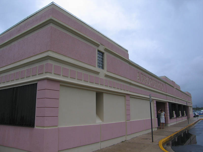
Diego Jiménez Torres Airport (IATA: FAJ, ICAO: TJFA, FAA LID: X95) is a public use airport owned by the Puerto Rico Ports Authority and located one nautical mile (1.85 km) southwest of the central business district of Fajardo, a city in Puerto Rico. It is also known as Fajardo Airport.
Airport operations were shut down in November 2008 and transferred to the newly-opened José Aponte de la Torre Airport in Ceiba. However, as of July 2009, Diego Jiménez Torres Airport is still listed as an active airport by the Federal Aviation Administration. Facilities and aircraft
Diego Jiménez Torres Airport covers an area of 95 acres (38 ha) at an elevation of 64 feet (20 m) above mean sea level. It has one asphalt paved runway designated 8/26 which measures 3,600 by 75 feet (1,097 x 23 m).
For the 12-month period ending March 16, 1998, the airport had 14,314 aircraft operations, an average of 39 per day: 90% air taxi and 10% general aviation. At that time there were 14 aircraft based at this airport: 71% single-engine, 21% multi-engine and 7% ultralight.
Airlines
At the time of closing, air taxi service was provided by the following airlines:
- Air Flamenco
- Isla Nena Air
- M&N Aviation
- Vieques Air Link
The above content comes from Wikipedia and is published under free licenses – click here to read more.
| General Info
|
| Country |
Puerto Rico
|
| ICAO ID |
TJFA
|
| FAA ID |
X95
|
| Time |
UTC-4
|
| Latitude |
18.308889
18° 18' 32.00" N
|
| Longitude |
-65.661861
065° 39' 42.70" W
|
| Elevation |
64 feet
20 meters
|
| Magnetic Variation |
012° W (01/06)
|
| Beacon |
Yes
|
| Operating Agency |
CIVIL GOVERNMENT, (LANDING FEES AND DIPLOMATIC CLEARANCE MAY BE REQUIRED)
|
| Near City |
Fajardo
|
| Operating Hours |
SEE REMARKS FOR OPERATING HOURS OR COMMUNICATIONS FOR POSSIBLE HOURS
|
| International Clearance Status |
Landing Rights Airport
|
| Communications
|
| CTAF/UNICOM |
122.7
|
| Runways
|
| ID |
Dimensions |
Surface |
PCN |
ILS
|
| 08/26 |
3600 x 75 feet
1097 x 23 meters |
ASPHALT |
- |
NO
|
| Supplies/Equipment
|
| Fuel |
100/130 octane gasoline, leaded, MIL-L-5572F (GREEN)
|
| Remarks
|
| CAUTION |
3300x60 drag strip 400' N of and parl to Rwy 08-26, mrk with yellow Xs.
|
| LGT |
PAPI O/S UFN.
|
| OPR HOURS |
Opr 1000-2230Z.
|
| TFC PAT |
Dep Rwy 26 make left turn due to terrain.
|
The content above was published at Airports-Worldwide.com in 2010.
We don't guarantee the information is fresh and accurate. The data may be wrong or outdated.
For more up-to-date information please refer to other sources.
|
|