|
|
General Santos International Airport
Paliparang Pandaigdig ng Heneral Santos
Tugpahanang Pangkalibutanon sa Heneral Santos |
 |
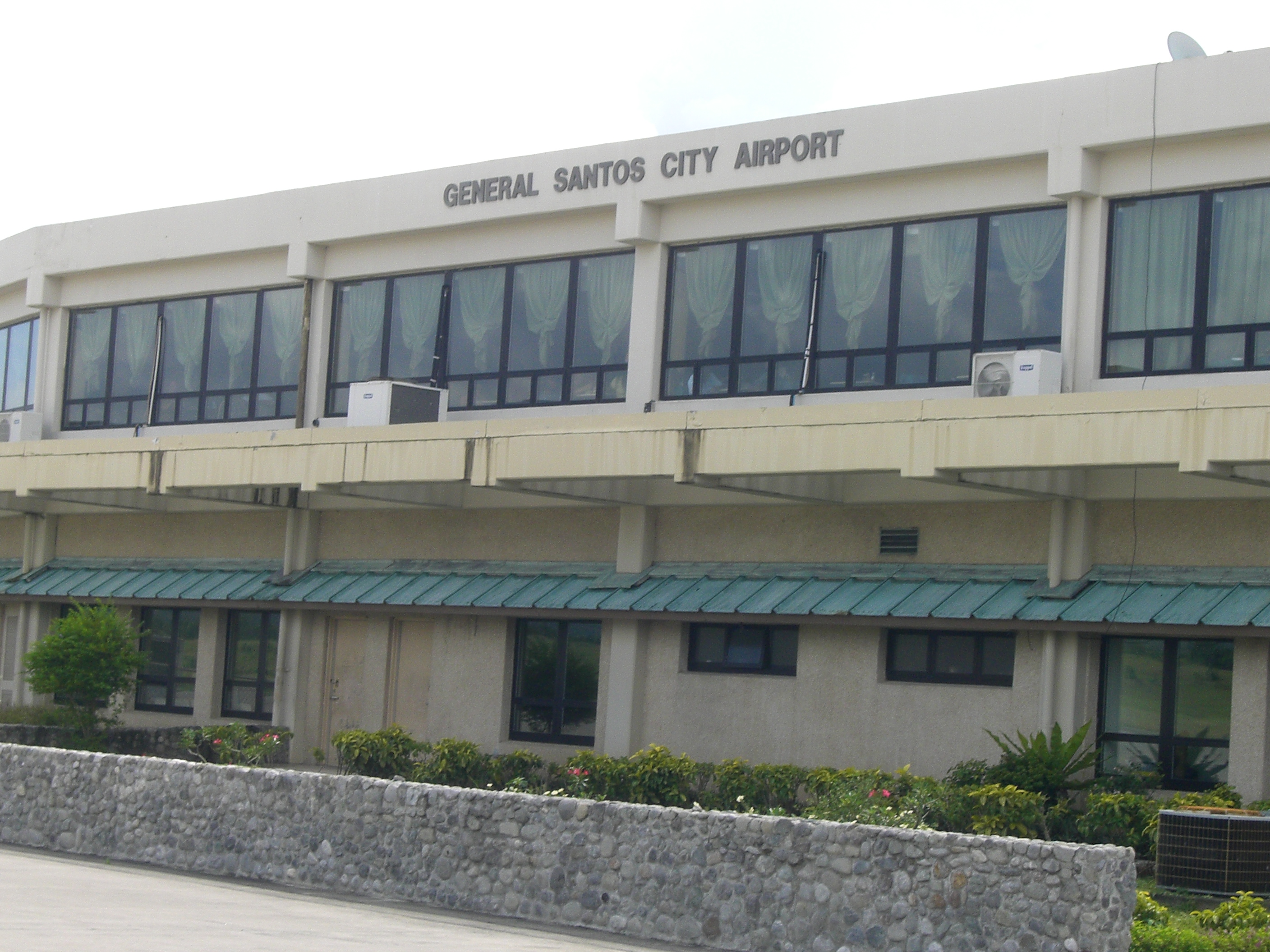
| Exterior of General Santos International Airport |
| IATA: GES – ICAO: RPMR |
| Summary |
| Airport type |
Public |
| Operator |
Civil Aviation Authority of the Philippines |
| Serves |
General Santos City |
| Location |
Barangay Fatima, General Santos City |
| Elevation AMSL |
154 m / 505 ft |
| Coordinates |
06°03′28.81″N 125°05′45.72″E / 6.0580028°N 125.0960333°E / 6.0580028; 125.0960333 |
| Runways |
| Direction |
Length |
Surface |
| m |
ft |
| 17/35 |
3,227 |
10,587 |
Concrete |
| Statistics (2009) |
| Passengers |
404,859 |
| Aircraft movements |
2,348 |
| Metric tonnes of cargo |
8,943 |
| Statistics from the Civil Aviation Authority of the Philippines. |
General Santos International Airport (Filipino: Paliparang Pandaigdig ng Heneral Santos, Cebuano: Tugpahanang Pangkalibutanon sa Heneral Santos) (IATA: GES, ICAO: RPMR) is an airport serving the general area of General Santos City, located in the province of South Cotabato in the Philippines. The airport is located in Barangay Fatima, but is usually believed to be located in nearby Barangay Tambler, hence the alternate name Tambler Airport. The airport is classified as an international airport by the Civil Aviation Authority of the Philippines, a body of the Department of Transportation and Communications that is responsible for the operations of not only this airport but also of all other airports in the Philippines except the major international airports.
The airport replaced the old General Santos airport located in Barangay Buayan on July 6, 1996 and as such has inherited the old airport's IATA airport code, GES. The old airport now serves as the Rajah Buayan Air Base. History
General Santos International Airport was formally inaugurated on July 6, 1996, although the airport was used in the 1996 Palarong Pambansa.The Biggest International Airport in Mindanao. All flights of Philippine Airlines from Iloilo City and Cebu City landed and departed to and from this airport including special flights to and from Manila using Boeing 737-300 aircraft. Because the terminal building was not yet complete at the time of the airport's opening, a temporary terminal was used adjacent to the current terminal. The current terminal became operational in August 1996.
After the opening of this new airport, Philippine Airlines commenced direct flights to Manila thrice weekly, initially using Airbus A300 aircraft. This later became five times weekly in November 1996, just 4 months after its launch, and a daily service in December 1997. PAL's financial difficulties forced the closure of the Iloilo and Cebu routes out of General Santos in 1998, leaving PAL with only its flights to Manila. Air Philippines commenced operations at the new airport with flights to Manila also in 1997 using Boeing 737-200 and McDonnell Douglas MD-88 aircraft. However, the lack of a refueling facility at General Santos International Airport forced the return leg of the flight to stop at Mactan-Cebu International Airport for refueling. With the opening of a new refueling facility at the airport in the early 2000s, Air Philippines now flies direct to Manila and also operates separate flights to Cebu City.
International flights to Manado in Indonesia were opened in November 2004 by Merpati Nusantara Airlines using Fokker 70 aircraft. However, due to poor loads, the service was cut after one month. Philippine Airlines also planned starting international services out of General Santos in the 1990s, but were unable to due to its financial difficulties.
On October 2, 2006, Cebu Pacific commenced flights to Manila using Airbus A319 aircraft. This was later upgraded to the Airbus A320.
Built largely with US funds totaling around $50 million, the airport is believed by some to be part of the United States military forward strategy in the Philippines.
Airlines and destinations
| Airlines |
Destinations |
| Cebu Pacific |
Cebu, Manila |
| Philippine Airlines |
Manila |
Cargo Airlines
- Pacific East Asia Cargo Airlines
- GenSan Pacific Airways AirCargo
Structure
Runway
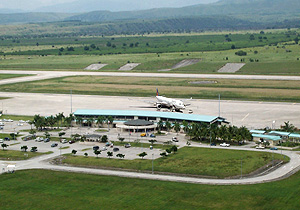
 | |
Aerial view of General Santos International Airport |
General Santos has a single 3,227-meter (10,587-foot) runway running at 17°/35°. The airport's runway is the third-longest runway in the Philippines, after Runway 06/24 of Ninoy Aquino International Airport and Runway 04/22 of Mactan-Cebu International Airport. The General Santos International Airport is the second largest airport in the Philippines in terms of land area at 5,994,577 square meters.
Terminal
- Mabuhay Lounge by Philippine Airlines
- VIP Lounge
- Cafe Leticia at the Second Floor
- 1 Baggage Carousel
- 1 Elevator
- Specialty Stores (Second Floor, Check-in Area, Pre-Departure Area)
- Fresh Tuna Products (Adjacent to the Main Terminal)
- Air Philippines Ticket Office
- Cebu Pacific Air Ticket Office
- Philippine Airlines Ticket Office
Access and transportation
General Santos International Airport is 17 kilometers from downtown General Santos. A six-kilometer access road connects the airport to the city road network.
Taxi service is available from the airport to the city. Some hotels also provide shuttle services from the airport.
The above content comes from Wikipedia and is published under free licenses – click here to read more.
| General Info
|
| Country |
Philippines
|
| ICAO ID |
RPMR
|
| Time |
UTC+8
|
| Latitude |
6.058003
06° 03' 28.81" N
|
| Longitude |
125.096033
125° 05' 45.72" E
|
| Elevation |
505 feet
154 meters
|
| Type |
Civil
|
| Magnetic Variation |
000° E (01/06)
|
| Beacon |
Yes
|
| Operating Agency |
CIVIL GOVERNMENT, (LANDING FEES AND DIPLOMATIC CLEARANCE MAY BE REQUIRED)
|
| Alternate Name |
GENERAL SANTOS INTL
|
| Island Group |
Mindanao I
|
| Operating Hours |
SEE REMARKS FOR OPERATING HOURS OR COMMUNICATIONS FOR POSSIBLE HOURS
|
| Communications
|
| TWR |
118.4
255.4
|
| RDO |
6802.5
3671
|
| APP |
119.1
118.2
|
| Runways
|
| ID |
Dimensions |
Surface |
PCN |
ILS
|
| 17/35 |
10587 x 148 feet
3227 x 45 meters |
CONCRETE. |
- |
YES
|
| Navaids
|
| Type |
ID |
Name |
Channel |
Freq |
Distance From Field |
Bearing From Navaid
|
| VOR-DME |
GSA |
TAMBLER |
092X |
114.5 |
1.1 NM |
167.7
|
| Supplies/Equipment
|
| Fuel |
Unknown fuel type or whether there is any fuel.
|
| Remarks
|
| CAUTION |
Mt. Matutum 18 NM N.
|
| FUEL |
(Petron, NC-A1).
|
| OPR HOURS |
Opr 23200-0700Z. Arpt bcn HO.
|
| RSTD |
VFR opr only, clsd to NORDO
|
The content above was published at Airports-Worldwide.com in 2010.
We don't guarantee the information is fresh and accurate. The data may be wrong or outdated.
For more up-to-date information please refer to other sources.
|
|