|
|
Coordinates: 35°55′07″N 074°20′01″E / 35.91861°N 74.33361°E / 35.91861; 74.33361
| Gilgit Airport |
| IATA: GIL – ICAO: OPGT |
| Summary |
| Airport type |
Public |
| Operator |
Pakistan Civil Aviation Authority |
| Serves |
Gilgit, Gilgit-Baltistan, Pakistan |
| Elevation AMSL |
4,796 ft / 1,462 m |
| Runways |
| Direction |
Length |
Surface |
| m |
ft |
| 07/25 |
1,646 |
5,400 |
Asphalt |
| Sources: AIP Pakistan and DAFIF |
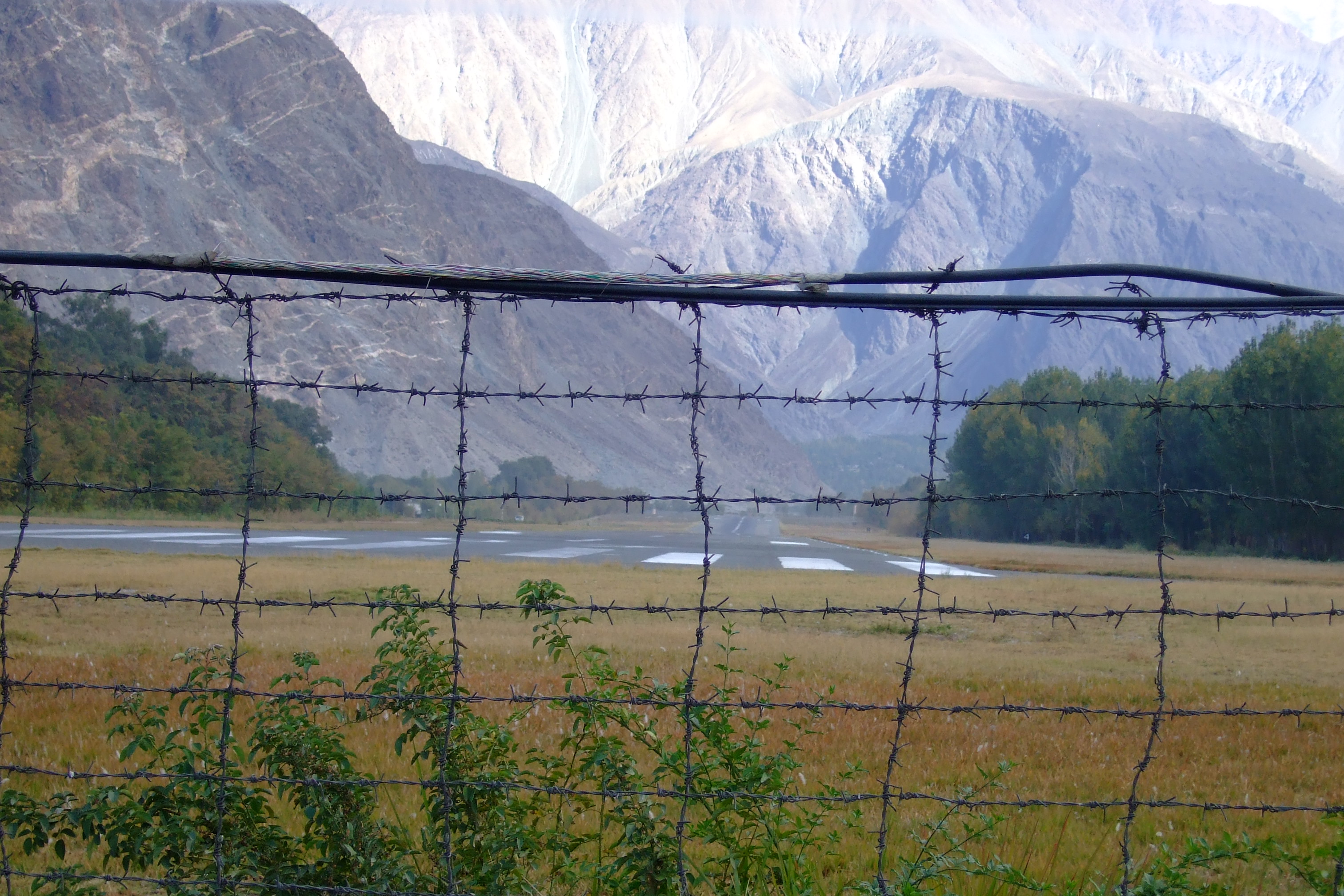
Gilgit Airport (IATA: GIL, ICAO: OPGT) is a small domestic airport situated 1.25 nm (2.3 km) east of Gilgit, a city in the Gilgit-Baltistan region of Pakistan. The city of Gilgit is one of the two major hubs for all mountaineering expeditions in the Northern Areas of Pakistan. Many tourists choose to travel to Gilgit by air since the road travel between Islamabad and Gilgit by Karakoram Highway takes nearly 15 hours, whereas the air travel takes a mere 50-55 minutes.

Structure
Due to the short runway at Gilgit airport that is located at the edge of a slope, even an aircraft as small as a Boeing 737 aircraft cannot land and take-off at the Gilgit Airport. Currently PIA operates French and Italian ATR 42 aircraft on the Gilgit-Islamabad route. Other aircraft that operate at the airport include the military C-130 aircraft.
Airlines and destinations
| Airlines |
Destinations |
| Pakistan International Airlines |
Islamabad, Skardu |
The above content comes from Wikipedia and is published under free licenses – click here to read more.
| General Info
|
| Country |
Pakistan
|
| ICAO ID |
OPGT
|
| Time |
UTC+5
|
| Latitude |
35.918786
35° 55' 07.63" N
|
| Longitude |
74.333644
074° 20' 01.12" E
|
| Elevation |
4796 feet
1462 meters
|
| Magnetic Variation |
002° E (01/06)
|
| Operating Agency |
CIVIL GOVERNMENT, (LANDING FEES AND DIPLOMATIC CLEARANCE MAY BE REQUIRED)
|
| Operating Hours |
SUNRISE TO SUNSET (SR-SS)
|
| Communications
|
TWR
SR-SS
|
119.1
121.8
260.2
|
RDO
SR-SS
|
2923
5601
|
| Runways
|
| ID |
Dimensions |
Surface |
PCN |
ILS
|
| 07/25 |
5400 x 98 feet
1646 x 30 meters |
ASPHALT |
015FCYT |
NO
|
| 09/27 |
983 x 49 feet
300 x 15 meters |
CONCRETE. |
- |
NO
|
| Navaids
|
| Type |
ID |
Name |
Channel |
Freq |
Distance From Field |
Bearing From Navaid
|
| NDB |
GT |
GILGIT |
- |
324 |
At Field |
-
|
| Supplies/Equipment
|
| Fuel |
Unknown fuel type or whether there is any fuel.
|
| Remarks
|
| CAUTION |
Ant 182' AGL 2.5 NM E of afld.
|
| OPR HOURS |
Opr SR-SS.
|
The content above was published at Airports-Worldwide.com in 2010.
We don't guarantee the information is fresh and accurate. The data may be wrong or outdated.
For more up-to-date information please refer to other sources.
|
|