 |
 |
|
||||
|
Welcome to Taupo AirportFlying into Taupo visitors and locals alike are always struck by the size and beauty of the Lake. Located in the centre of New Zealand's exciting North Island Lake Taupo has a surface area of 616 square kilometres (238 sq mi), is the largest freshwater lake by surface area in Oceania, New Zealand's largest lake and is a similar size to the nation of Singapore.
The centrepoint of the vibrant Taupo district, Lake Taupo has a perimeter of approximately 193 kilometres, every kilometre bustling with exciting outdoor adventure. Lake Taupo is drained by the New Zealand's longest river, the mighty Waikato while its main tributaries are the impressive Waitahanui, the Tongariro and the Tauranga-Taupo Rivers.
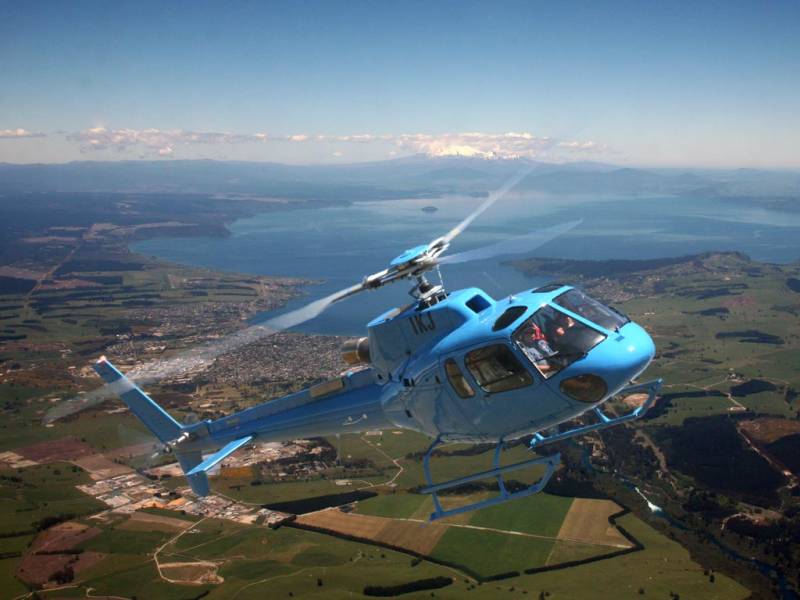
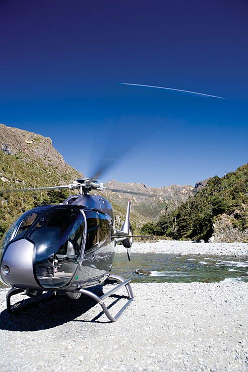
Taupo Airport is the beginning of the Taupo experience at only eight kilometres from the centre of Taupo township and running alongside the lakebed. With approximately 35,000 aircraft landings and take-offs each year the Airport is the springboard for the largest commercial Tandem Skydive drop zone in the world and offers a range of scenic flights by helicopters, floatplanes and light aircraft. Fishing and hunting safaris made by boat and air operating most days of the year. We're here to help you access all that Taupo has to offer, so when you arrive at our Airport take the time to find out where all the adventure and activities are - we're happy to show you why we're one of New Zealand's premium destinations. While you're at our place we want you to see and feel the magic of the Lake and the people that live here.
About Taupo Airport AuthorityTaupo Airport is a vital part of the Taupo experience. Proving big is not necessarily better, Taupo Airport with a small management team and a four person governance board, provides efficient and safe air transport support for visitors, as well as local residents and businesses.
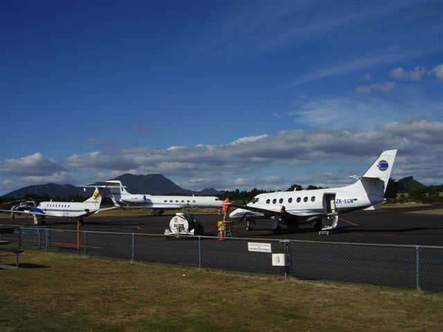
Taupo Airport is certificated under Civil Aviation rules Part 139 and operates just like its larger cousins hosting regular services, charter and private aircraft 365 days a year, weather permitting. With Taupo District Council and the Government as shareholders Taupo Airport supports the local economy and people of the area.
The future is bright as demand has driven improvement in Terminal car parking and increasing opportunities for businesses at the aerodrome.
LocationTaupo Airport is located in the centre of the North Island of New Zealand and 8km south of the town centre, next to New Zealand’s largest lake, Lake Taupo. The local's love this place because of it's relaxed pace of life and the wide range of activities on offer. Taupo is a vibrant community with a buzzing café and restaurant scene varied nightlife and some great pubs and lounge bars. The outdoor lifestyle is second to none here with easy access to the bush, lake and mountains. Time away is about enjoying the simple things in life and Taupo certainly delivers these. Centrally located on SH1, Lake Taupo covers an area sketching from Orakei Korako in the north, to Tongariro National Park in the south. Here you'll be impressed with the scenery and amazed at the holiday options available. You'll find snow capped mountains, a enormous fresh water lake, pristine native bush, steaming thermal areas and one of the world's only Dual World Heritage Parks.
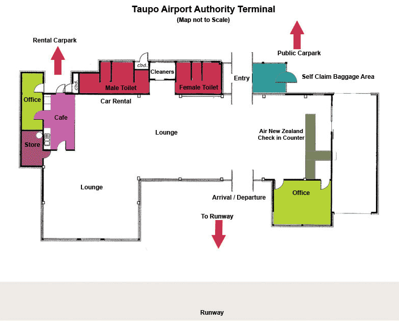
Parking
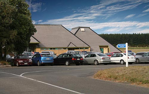
Taupo airport has a public car park adjacent to the terminal building. All parking is free of charge. While secure parking is not currently available, security gates on Anzac
Drive are closed at night.
Phone: +64 7 378 7771 Email admin at taupoairport co
nz Images and information placed above are from http://taupoairport.co.nz/ We thank them for the data!
Runway 11/29 2398 x 197 feet
Runway 17/35 4547 x 98 feet
Navaids
The content above was published at Airports-Worldwide.com in 2004. |
|||||||||||||||||||||||||||||||||||||||||||||||||||||||||||||||||||||||||||||||||||||||||||||||||||||||||||||||||||||||||||||||||||||||||||||||||||||||||||||||||||||||||||||||||||||||||||||||||||||||||||||||||||||||||||||||||||||||||

 |
|
Copyright 2004-2026 © by Airports-Worldwide.com, Vyshenskoho st. 36, Lviv 79010, Ukraine Legal Disclaimer |
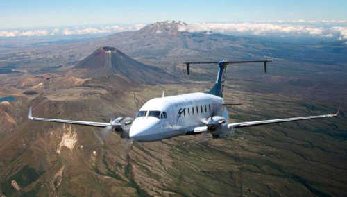
 Created
by a volcanic explosion approximately 26,500 years ago the Lake and surrounds
provide a spectacular aerial view that tells everyone that this is a unique
destination with much to offer.
Created
by a volcanic explosion approximately 26,500 years ago the Lake and surrounds
provide a spectacular aerial view that tells everyone that this is a unique
destination with much to offer. 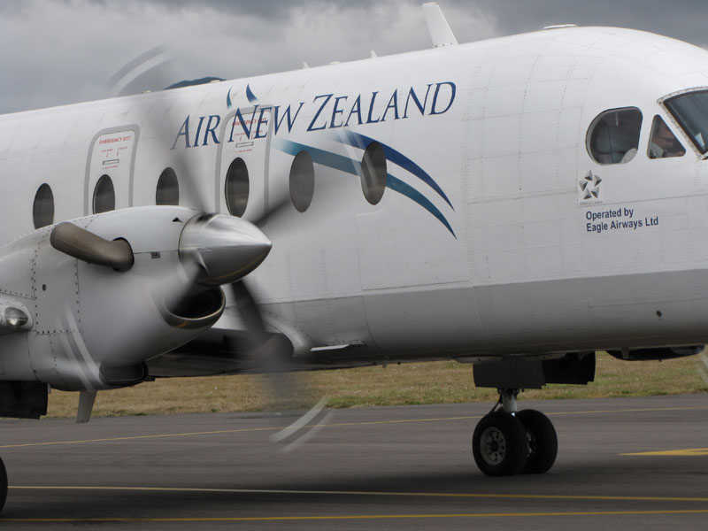
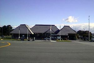
 Taupo Airport Authority