|
|
Valle Del Fuerte Intl Airport |
 |
|
| Federal del Valle del Fuerte International Airport |
 |
IATA: LMM – ICAO: MMLM
 |
| Summary |
| Airport type |
Public |
| Operator |
Grupo Aeroportuario del Pacifico |
| Location |
Los Mochis, Sinaloa |
| Elevation AMSL |
16 ft / 5 m |
| Coordinates |
25°41′06″N 109°04′50″W / 25.685°N 109.08056°W / 25.685; -109.08056Coordinates: 25°41′06″N 109°04′50″W / 25.685°N 109.08056°W / 25.685; -109.08056 |
| Runways |
| Direction |
Length |
Surface |
| ft |
m |
| 09/27 |
6,562 |
2,000 |
Asphalt |
| Statistics (2009) |
| Total Passengers |
206,000 |
| Source: Grupo Aeroportuario del Pacífico |
- LMM redirects here. For other uses, see LMM (disambiguation).
Valle del Fuerte International Airport (IATA: LMM, ICAO: MMLM) is an international airport located near Los Mochis, Sinaloa, Mexico. It comprises a terminal building with basic services and three commercial aircraft parking spaces.
Airlines and destinations
| Airlines |
Destinations |
| Aéreo Calafia |
Ciudad Constitución, Loreto, San José del Cabo |
| Aéreo Servicio Guerrero |
Ciudad Constitución, La Paz, Loreto, San José del Cabo |
| Aeroméxico Connect |
Hermosillo, Mazatlán, Mexico City, Monterrey, Tijuana |
| Interjet |
Mexico City |
| VivaAerobus |
Guadalajara, Monterrey, Tijuana |
| Volaris |
Tijuana [begins November 8] |
Gallery
|
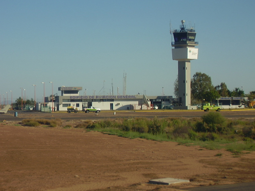
General Aviation Terminal
Click to enlarge
|
|
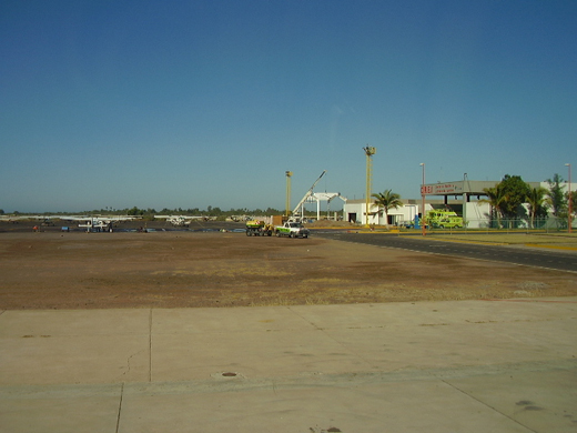
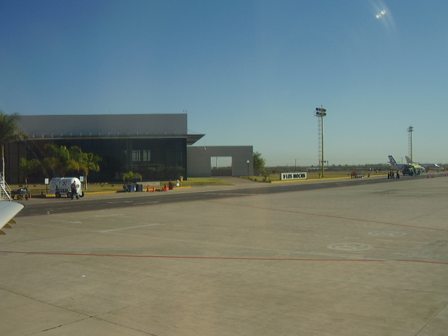
General Aviation slots
Click to enlarge
|
|
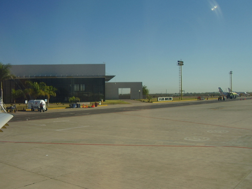
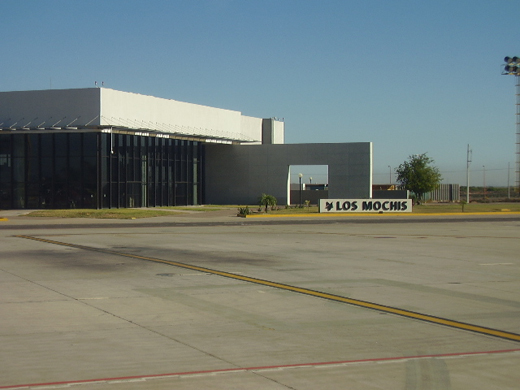
Main Terminal
Click to enlarge
|
The above content comes from Wikipedia and is published under free licenses – click here to read more.
| General Info
|
| Country |
Mexico
|
| ICAO ID |
MMLM
|
| Time |
UTC-7(-6DT)
|
| Latitude |
25.685194
25° 41' 06.70" N
|
| Longitude |
-109.080806
109° 04' 50.90" W
|
| Elevation |
16 feet
5 meters
|
| Magnetic Variation |
009° E (01/06)
|
| Beacon |
Yes
|
| Operating Agency |
CIVIL GOVERNMENT, (LANDING FEES AND DIPLOMATIC CLEARANCE MAY BE REQUIRED)
|
| Alternate Name |
LOS MOCHIS INTL
|
| Near City |
Los Mochis
|
| Operating Hours |
SEE REMARKS FOR OPERATING HOURS OR COMMUNICATIONS FOR POSSIBLE HOURS
|
| Daylight Saving Time |
First Sunday in April to the last Saturday in October
|
| Communications
|
| MOCHIS TWR/APP |
118.8
|
| Runways
|
| ID |
Dimensions |
Surface |
PCN |
ILS
|
| 09/27 |
6562 x 148 feet
2000 x 45 meters |
ASPHALT |
- |
NO
|
| Navaids
|
| Type |
ID |
Name |
Channel |
Freq |
Distance From Field |
Bearing From Navaid
|
| VOR-DME |
LMM |
MOCHIS |
102X |
115.5 |
At Field |
-
|
| Supplies/Equipment
|
| Fuel |
100/130 octane gasoline, leaded, MIL-L-5572F (GREEN)
|
| Remarks
|
| FUEL |
(NC-100LL, A1)
|
| OPR HOURS |
Opr 1400-0400Z++.
|
The content above was published at Airports-Worldwide.com in 2010.
We don't guarantee the information is fresh and accurate. The data may be wrong or outdated.
For more up-to-date information please refer to other sources.
|
|