|
|
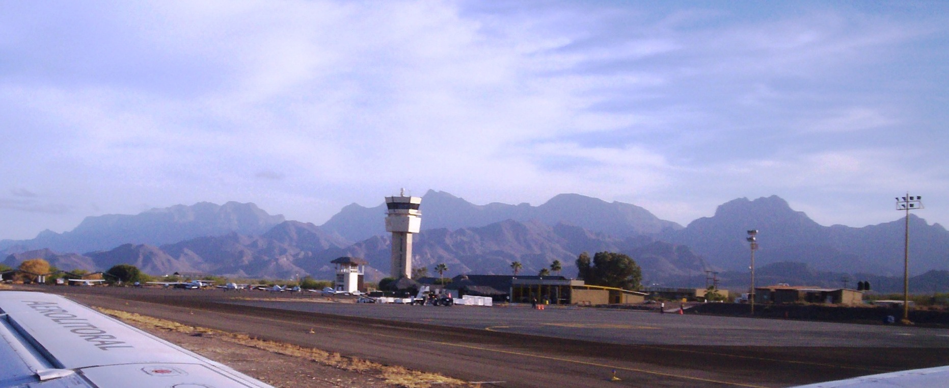
| Loreto International Airport |
 |
| IATA: LTO – ICAO: MMLT |
| Summary |
| Airport type |
Public |
| Operator |
Aeropuertos y Servicios Auxiliares |
| Location |
Loreto, Baja California Sur |
| Elevation AMSL |
34 ft / 10 m |
| Coordinates |
25°59′21″N 111°20′54″W / 25.98917°N 111.34833°W / 25.98917; -111.34833Coordinates: 25°59′21″N 111°20′54″W / 25.98917°N 111.34833°W / 25.98917; -111.34833 |
| Runways |
| Direction |
Length |
Surface |
| ft |
m |
| 16/34 |
7,218 |
2,200 |
Asphalt |
| Statistics (2009) |
| Total Passengers |
41,000 |
| Source: Aeropuertos y Servicios Auxiliares |
Loreto International Airport (IATA: LTO, ICAO: MMLT) is an international airport located at Loreto, Baja California Sur, Mexico. It handles national and international air traffic for the city of Loreto. It is operated by Aeropuertos y Servicios Auxiliares, a federal government-owned corporation. It is capable of handling aircraft the size of Boeing 737s and Airbus A320s. Mainly it receives Embraer ERJ 145s, Bombardier CRJs and 737s.
Airlines and destinations
| Airlines |
Destinations |
| Aéreo Calafia |
Cabo San Lucas, Ciudad Obregón, Guaymas, Hermosillo, Los Mochis |
| Aéreo Servicio Guerrero |
Ciudad Constitución, Guaymas, Los Mochis |
| Alaska Airlines |
Los Angeles |
| Horizon Air |
Los Angeles |
Accidents and incidents
- Aeroméxico Flight 498: On August 31, 1986 an Aeroméxico DC-9 that originated from Mexico City and stopped at Loreto and other Mexican destinations collided with a private aircraft while attempting to land at Los Angeles International Airport.
The above content comes from Wikipedia and is published under free licenses – click here to read more.
| General Info
|
| Country |
Mexico
|
| ICAO ID |
MMLT
|
| Time |
UTC-7(-6DT)
|
| Latitude |
25.989194
25° 59' 21.10" N
|
| Longitude |
-111.348361
111° 20' 54.10" W
|
| Elevation |
34 feet
10 meters
|
| Magnetic Variation |
010° E (01/06)
|
| Beacon |
Yes
|
| Operating Agency |
CIVIL GOVERNMENT, (LANDING FEES AND DIPLOMATIC CLEARANCE MAY BE REQUIRED)
|
| Operating Hours |
SEE REMARKS FOR OPERATING HOURS OR COMMUNICATIONS FOR POSSIBLE HOURS
|
| International Clearance Status |
Airport of Entry
|
| Daylight Saving Time |
First Sunday in April to the last Saturday in October
|
| Runways
|
| ID |
Dimensions |
Surface |
PCN |
ILS
|
| 16/34 |
7218 x 148 feet
2200 x 45 meters |
ASPHALT |
043FBXT |
NO
|
| Navaids
|
| Type |
ID |
Name |
Channel |
Freq |
Distance From Field |
Bearing From Navaid
|
| VOR-DME |
LTO |
LORETO |
079X |
113.2 |
At Field |
-
|
| Supplies/Equipment
|
| Fuel |
Jet A1, without icing nhibitor.
100/130 MIL Spec, low lead, aviation gasoline (BLUE)
|
| Remarks
|
| FUEL |
(NC-100LL, A1)
|
| LGT |
PAPI Rwy 16 usage restricted to wi 5NM.
|
| OPR HOURS |
Opr 1400-0200Z++.
|
| RSTD |
All US mil acft diverting to this afld must ctc the Defense Attache Office duty officer at the US Embassy Mexico City. Thru ctl agcy call 011-52-555-080-2000. This afld can accept US mil ldg after proper coord.
|
The content above was published at Airports-Worldwide.com in 2010.
We don't guarantee the information is fresh and accurate. The data may be wrong or outdated.
For more up-to-date information please refer to other sources.
|
|