|
|
General Rodolfo Sanchez Taboada Intl Airport |
General Rodolfo Sánchez Taboada International Airport
Aeropuerto Internacional de Mexicali General Rodolfo Sanchez Taboada |
 |
| IATA: MXL – ICAO: MMML |
| Summary |
| Airport type |
Public, Military |
| Operator |
Grupo Aeroportuario del Pacifico |
| Serves |
Mexicali |
| Location |
Mexicali, Baja California |
| Elevation AMSL |
23 m / 74 ft |
| Coordinates |
32°37′50″N 115°14′29″W / 32.63056°N 115.24139°W / 32.63056; -115.24139 |
| Website |
Mexicali International Airport |
| Runways |
| Direction |
Length |
Surface |
| m |
ft |
| 10/28 |
2,600 |
8,530 |
Concrete |
| Statistics (2009) |
| Total Passengers |
470,900 |
| Source: Grupo Aeroportuario del Pacífico |
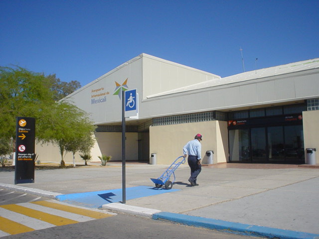
General Rodolfo Sánchez Taboada International Airport (IATA: MXL, ICAO: MMML) Is an international airport located outside Mexicali, Baja California, Mexico. It is called an international airport, but it actually handles only national air traffic of the city of Mexicali and is Mexico's northernmost airport. Occasionally this airport handled charter routes to Los Angeles (USA), San Francisco (USA) and Vancouver (Canada). It is the northern most airport in the state of Baja California and the country of Mexico.
Airlines and destinations
| Airlines |
Destinations |
| Aéreo Calafia |
Cabo San Lucas, La Paz, Guaymas, Hermosillo, Puerto Peñasco |
| Aeroméxico |
Guadalajara , Mexico City, Monterrey [begins September 19], |
| Aeroméxico Connect |
Culiacán, Hermosillo, Monterrey |
| VivaAerobus |
Monterrey |
| Volaris |
Guadalajara, Mexico City, Toluca |
General Aviation Terminal
Note: This airport building is used for general/non-commercial aviation or private jets.
Gallery
The above content comes from Wikipedia and is published under free licenses – click here to read more.
| General Info
|
| Country |
Mexico
|
| ICAO ID |
MMML
|
| Time |
UTC-8(-7DT)
|
| Latitude |
32.630634
32° 37' 50.28" N
|
| Longitude |
-115.241637
115° 14' 29.89" W
|
| Elevation |
74 feet
23 meters
|
| Type |
Civil
|
| Magnetic Variation |
012° E (01/06)
|
| Beacon |
Yes
|
| Operating Agency |
CIVIL GOVERNMENT, (LANDING FEES AND DIPLOMATIC CLEARANCE MAY BE REQUIRED)
|
| Alternate Name |
MEXICALI INTL
|
| Near City |
Mexicali
|
| International Clearance Status |
Airport of Entry
|
| Communications
|
| ATIS |
127.6
|
| MEXICALI APP/TWR |
118.2
|
| MEXICALI INFO |
123.9
|
| Runways
|
| ID |
Dimensions |
Surface |
PCN |
ILS
|
| 10/28 |
8530 x 148 feet
2600 x 45 meters |
CONCRETE. |
048RBXT |
NO
|
| Navaids
|
| Type |
ID |
Name |
Channel |
Freq |
Distance From Field |
Bearing From Navaid
|
| VOR-DME |
MXL |
MEXICALI |
097X |
115 |
At Field |
-
|
| Supplies/Equipment
|
| Fuel |
Jet A1, without icing nhibitor.
100/130 MIL Spec, low lead, aviation gasoline (BLUE)
|
| Remarks
|
| FUEL |
(NC-100LL, A1)
|
| OPR HOURS |
Opr 1400-0200Z++.
|
| RSTD |
On coml apn, acft with AUW greater than 88,200 lb proh fr dep under own pwr and making 180 turns to avoid damages to trml bldg. All US mil acft diverting to this afld must ctc the Defense Attache Office duty officer at the US Embassy Mexico City. Thru ctl agcy call 011-52-555-080-2000. This afld can accept US mil ldgafter proper coord.
|
The content above was published at Airports-Worldwide.com in 2010.
We don't guarantee the information is fresh and accurate. The data may be wrong or outdated.
For more up-to-date information please refer to other sources.
|
|