|
|
| Ensenada Airport |
 |
| IATA: ESE – ICAO: MMES |
| Summary |
| Airport type |
Military |
| Operator |
Secretaría de la Defensa Nacional |
| Location |
Ensenada |
| Elevation AMSL |
66 ft / 20 m |
| Coordinates |
31°47′43″N 116°36′09″W / 31.79528°N 116.6025°W / 31.79528; -116.6025Coordinates: 31°47′43″N 116°36′09″W / 31.79528°N 116.6025°W / 31.79528; -116.6025 |
| Runways |
| Direction |
Length |
Surface |
| ft |
m |
| 11/29 |
4892 |
1,491 |
Asphalt |
Ensenada Airport (IATA: ESE, ICAO: MMES) functions as the "El Ciprés" Military Airbase Number 3, operated by the Mexican Air Force. It is located 3 km south of Ensenada, Baja California, Mexico. Besides military air operations, it handles general aviation services for the city of Ensenada. It is an official airport of entry into Mexico. Currently, it only handles two regional commercial airlines, with flights within the region. Information
Thanks to the National Infrastructure Plan presented by Felipe Calderón, an international airport will be built in Ensenada. Construction is expected to begin on the first quarter of 2008 and initial investment is estimated at around $230 million dollars. The airstrip will be able to receive large aircraft including the Airbus A380 and the Boeing 747. International flights to Hong Kong, Singapore, Shanghai, Tokyo, Frankfurt and Bogotá are planned.
Air Force Units
- 5th Air Group
- 106 Air Squadron - Cessna 182
Airlines and destinations
Air Taxi Services
| Airlines |
Destinations |
| Aéreo Calafia |
Guerrero Negro (Begins 2009) |
| Aéreo Servicio Guerrero |
Guerrero Negro, Isla de Cedros |
| Aeroservicios California Pacífico |
Bahía Tortugas, Isla de Cedros |
 | |
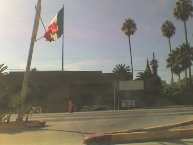
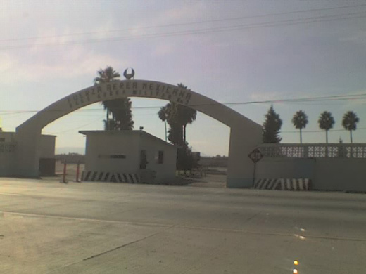
Contigious military facilities at ESE. |
Training Flights Only
| Airlines |
Destinations |
| Northwest Aeronautical Institute |
Tijuana, Real del Castillo |
The above content comes from Wikipedia and is published under free licenses – click here to read more.
| General Info
|
| Country |
Mexico
|
| ICAO ID |
MMES
|
| Time |
UTC-8(-7DT)
|
| Latitude |
31.795281
31° 47' 43.01" N
|
| Longitude |
-116.602772
116° 36' 09.98" W
|
| Elevation |
66 feet
20 meters
|
| Type |
Joint (Civil and Military)
|
| Magnetic Variation |
012° E (01/06)
|
| Beacon |
Yes
|
| Operating Agency |
MILITARY - CIVIL JOINT USE AIRPORT
|
| Near City |
Ensenada
|
| Operating Hours |
SUNRISE TO SUNSET (SR-SS)
|
| Daylight Saving Time |
First Sunday in April to the last Saturday in October
|
| Communications
|
| TWR |
119.75
|
| Runways
|
| ID |
Dimensions |
Surface |
PCN |
ILS
|
| 11/29 |
4892 x 115 feet
1491 x 35 meters |
ASPHALT |
- |
NO
|
| Navaids
|
| Type |
ID |
Name |
Channel |
Freq |
Distance From Field |
Bearing From Navaid
|
| NDB |
ENS |
ENSENADA |
- |
400 |
At Field |
-
|
| Supplies/Equipment
|
| Fuel |
Jet A1, without icing nhibitor.
100/130 MIL Spec, low lead, aviation gasoline (BLUE)
|
| Remarks
|
| FUEL |
(NC-100LL, A1)
|
| LGT |
VASI O/S UFN.
|
| OPR HOURS |
Opr SR-SS.
|
The content above was published at Airports-Worldwide.com in 2010.
We don't guarantee the information is fresh and accurate. The data may be wrong or outdated.
For more up-to-date information please refer to other sources.
|
|