|
|
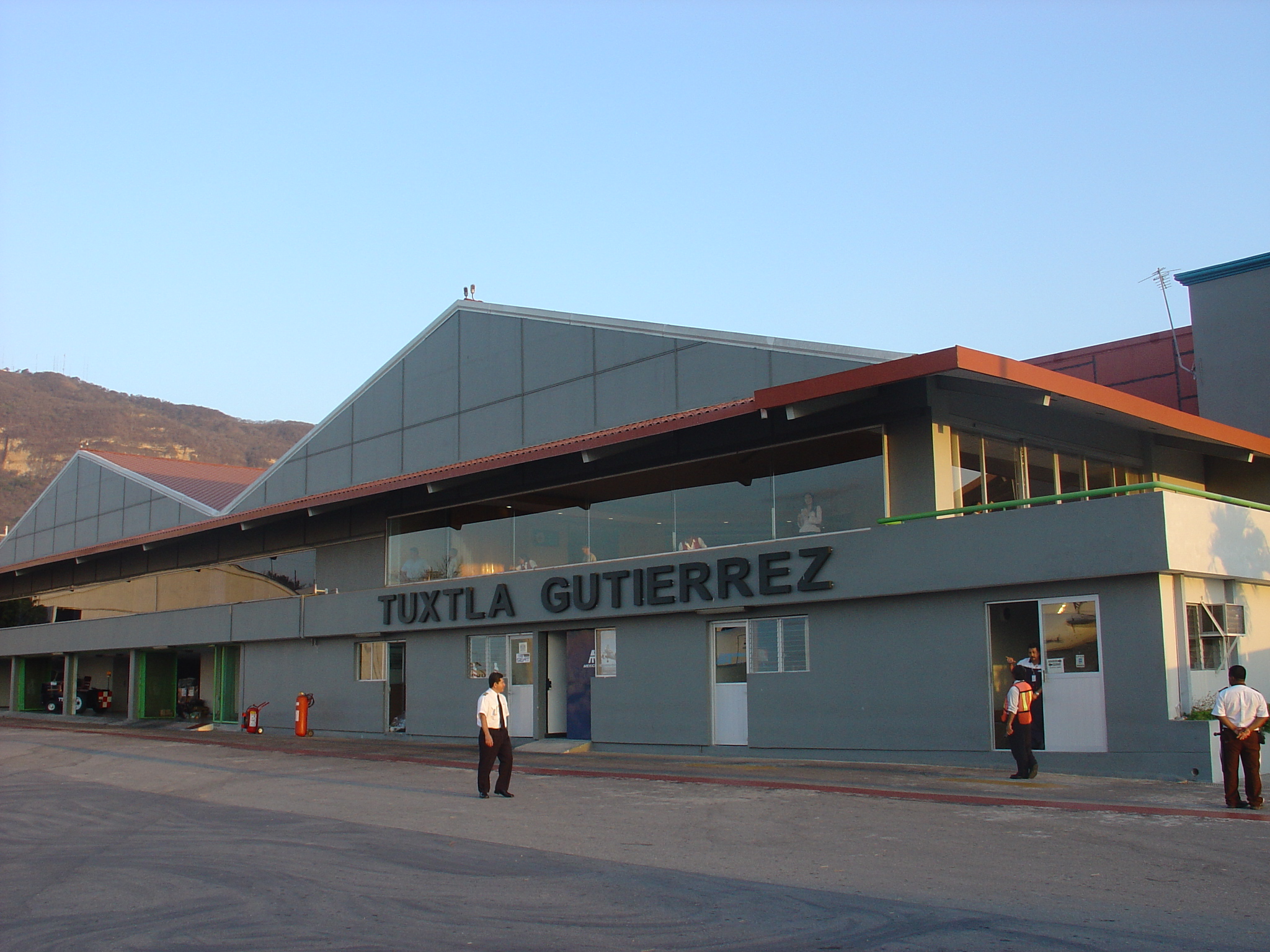
Angel Albino Corzo Airport |
Coordinates: 16°33′42″N 093°01′33″W / 16.56167°N 93.02583°W / 16.56167; -93.02583
Francisco Sarabia National Airport
Terán Airport |
 |
IATA: TGZ – ICAO: MMTG |
| Summary |
| Airport type |
Public / Military |
| Serves |
Tuxtla Gutiérrez, Chiapas, México |
| Elevation AMSL |
1,491 ft / 454 m |
| Runways |
| Direction |
Length |
Surface |
| m |
ft |
| 14/32 |
2,500 |
8,202 |
Asphalt |
| Statistics (2005) |
| Aircraft operations |
11,166 |
| Passengers |
486,067 |
| Source: DAFIF |
Francisco Sarabia National Airport or Terán Airport (formerly IATA code TGZ, ICAO code MMTG) is a national airport located at Tuxtla Gutiérrez, Chiapas, Mexico. It used to handle national air traffic for the city of Tuxtla Gutiérrez. Scheduled airline service for the city is now handled at the new Angel Albino Corzo International Airport, which has taken over Sarabia's former IATA and ICAO airport codes (as of June 2006). It is now used for military purposes only. Former routes
| Airlines |
Destinations |
| Aviacsa |
Mexico City, Tapachula |
| Click |
Mexico City |
| Mexicana |
Mexico City |
| Mexicana operated by Aerocaribe |
, Mexico City, Oaxaca, Tapachula, Villahermosa |
202 Air SquadronThe 202 Air Squadron is a Mexican Air Force unit operating out Terán Airport. The unit operates Pilatus PC-9 and Pilatus PC-7 planes.
The above content comes from Wikipedia and is published under free licenses – click here to read more.
| General Info
|
| Country |
Mexico
|
| ICAO ID |
MMTG
|
| Time |
UTC-6(-5DT)
|
| Latitude |
16.561822
16° 33' 42.56" N
|
| Longitude |
-93.026081
093° 01' 33.89" W
|
| Elevation |
1491 feet
454 meters
|
| Type |
Joint (Civil and Military)
|
| Magnetic Variation |
003° E (08/06)
|
| Operating Agency |
MILITARY - CIVIL JOINT USE AIRPORT
|
| Near City |
Tuxtla Gutierrez
|
| Operating Hours |
SEE REMARKS FOR OPERATING HOURS OR COMMUNICATIONS FOR POSSIBLE HOURS
|
| Daylight Saving Time |
First Sunday in April to the last Saturday in October
|
| Runways
|
| ID |
Dimensions |
Surface |
PCN |
ILS
|
| 14/32 |
8202 x 148 feet
2500 x 45 meters |
ASPHALT |
- |
NO
|
| Navaids
|
| Type |
ID |
Name |
Channel |
Freq |
Distance From Field |
Bearing From Navaid
|
| VOR-DME |
TGZ |
TUXTLA |
104X |
115.7 |
At Field |
-
|
| Remarks
|
| LGT |
PAPI Rwy 14 GS 3.1 .
|
| OPR HOURS |
Opr 1300-0100Z++.
|
The content above was published at Airports-Worldwide.com in 2010.
We don't guarantee the information is fresh and accurate. The data may be wrong or outdated.
For more up-to-date information please refer to other sources.
|
|