|
|
Coordinates: 16°43′50″N 003°00′27″W / 16.73056°N 3.0075°W / 16.73056; -3.0075
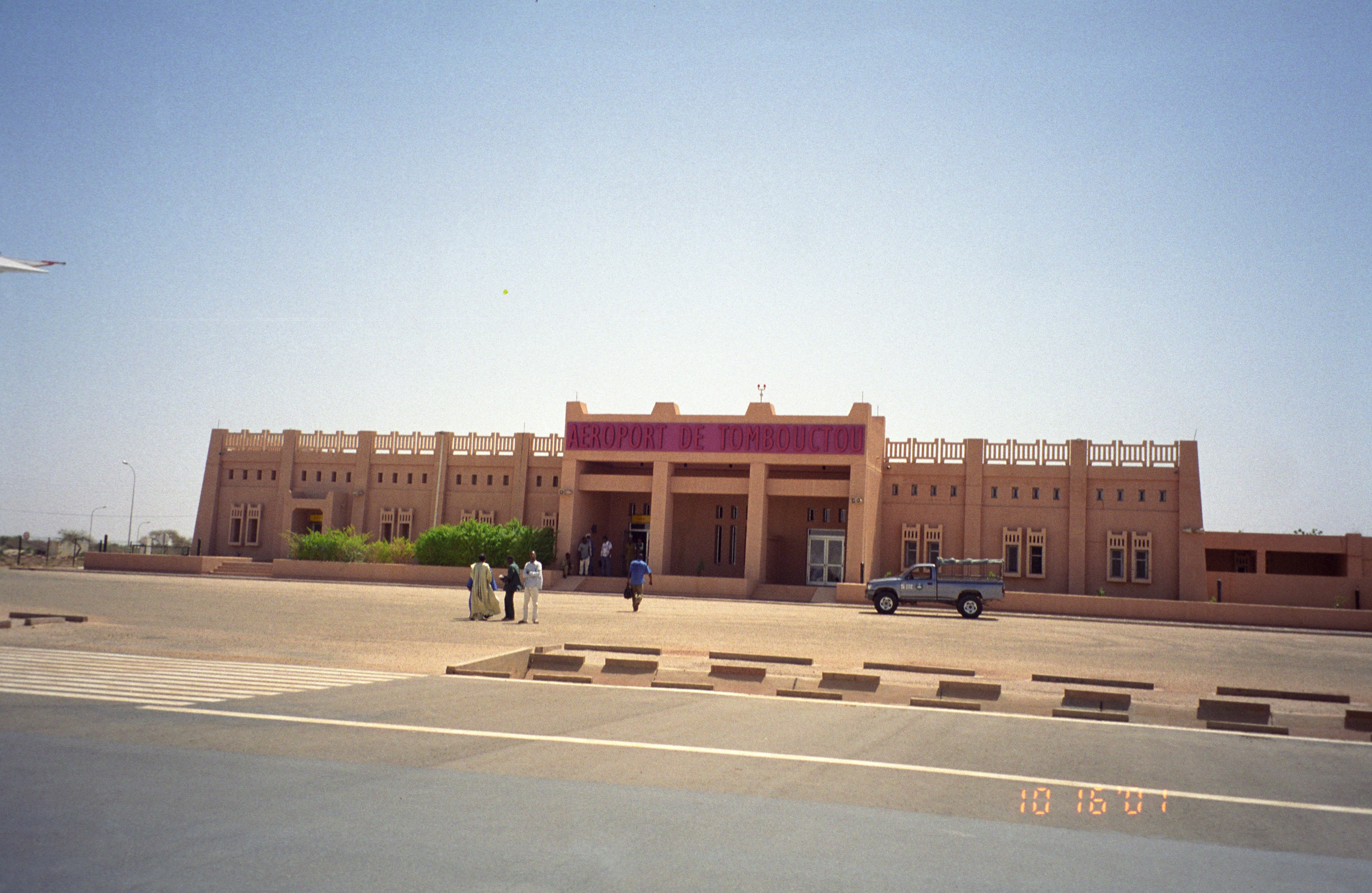
Timbuktu Airport
Tombouctou Airport |
 |
| IATA: TOM – ICAO: GATB |
| Summary |
| Airport type |
Public |
| Location |
Timbuktu |
| Elevation AMSL |
863 ft / 263 m |
| Runways |
| Direction |
Length |
Surface |
| ft |
m |
| 07/25 |
6,923 |
2,110 |
Asphalt |
Timbuktu Airport (IATA: TOM, ICAO: GATB) is an airport in Timbuktu, Mali.
Airlines and destinations
| Airlines |
Destinations |
| Air Mali |
Bamako, Mopti |
| Royal Air Maroc |
Bamako, Casablanca [both begin winter 2010/2011] |
The above content comes from Wikipedia and is published under free licenses – click here to read more.
| General Info
|
| Country |
Mali
|
| ICAO ID |
GATB
|
| Time |
UTC 0
|
| Latitude |
16.730458
16° 43' 49.65" N
|
| Longitude |
-3.007583
003° 00' 27.30" W
|
| Elevation |
863 feet
263 meters
|
| Magnetic Variation |
003° W (01/06)
|
| Operating Agency |
CIVIL GOVERNMENT, (LANDING FEES AND DIPLOMATIC CLEARANCE MAY BE REQUIRED)
|
| Operating Hours |
SEE REMARKS FOR OPERATING HOURS OR COMMUNICATIONS FOR POSSIBLE HOURS
|
| Runways
|
| ID |
Dimensions |
Surface |
PCN |
ILS
|
| 07/25 |
6923 x 98 feet
2110 x 30 meters |
ASPHALT |
- |
NO
|
| Navaids
|
| Type |
ID |
Name |
Channel |
Freq |
Distance From Field |
Bearing From Navaid
|
| VOR-DME |
TBT |
TOMBOUCTOU |
120X |
117.3 |
At Field |
-
|
| NDB |
TB |
TOMBOUCTOU |
- |
268 |
At Field |
-
|
| Remarks
|
| OPR HOURS |
Opr 0800-1800Z, OT O/R to GABVYAYX.
|
| RSTD |
Ovft and ldg O/R to GABVYAYX.
|
The content above was published at Airports-Worldwide.com in 2010.
We don't guarantee the information is fresh and accurate. The data may be wrong or outdated.
For more up-to-date information please refer to other sources.
|
|