|
|
Tioman Airport
Lapangan Terbang Tioman |
| IATA: TOD – ICAO: WMBT |
| Summary |
| Airport type |
Public |
| Operator |
Malaysia Airports Berhad |
| Serves |
Tioman Island, Malaysia |
| Elevation AMSL |
13 ft / 3.9 m |
| Coordinates |
02°49′08″N 104°09′36″E / 2.81889°N 104.16°E / 2.81889; 104.16 |
| Runways |
| Direction |
Length |
Surface |
| m |
ft |
| 02/20 |
992 |
3,254 |
Tarmac |
| Sources: AIP Malaysia and DAFIF |
The runway is only accessible from the north, due to the nearby hills at the south end. 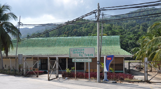 | |
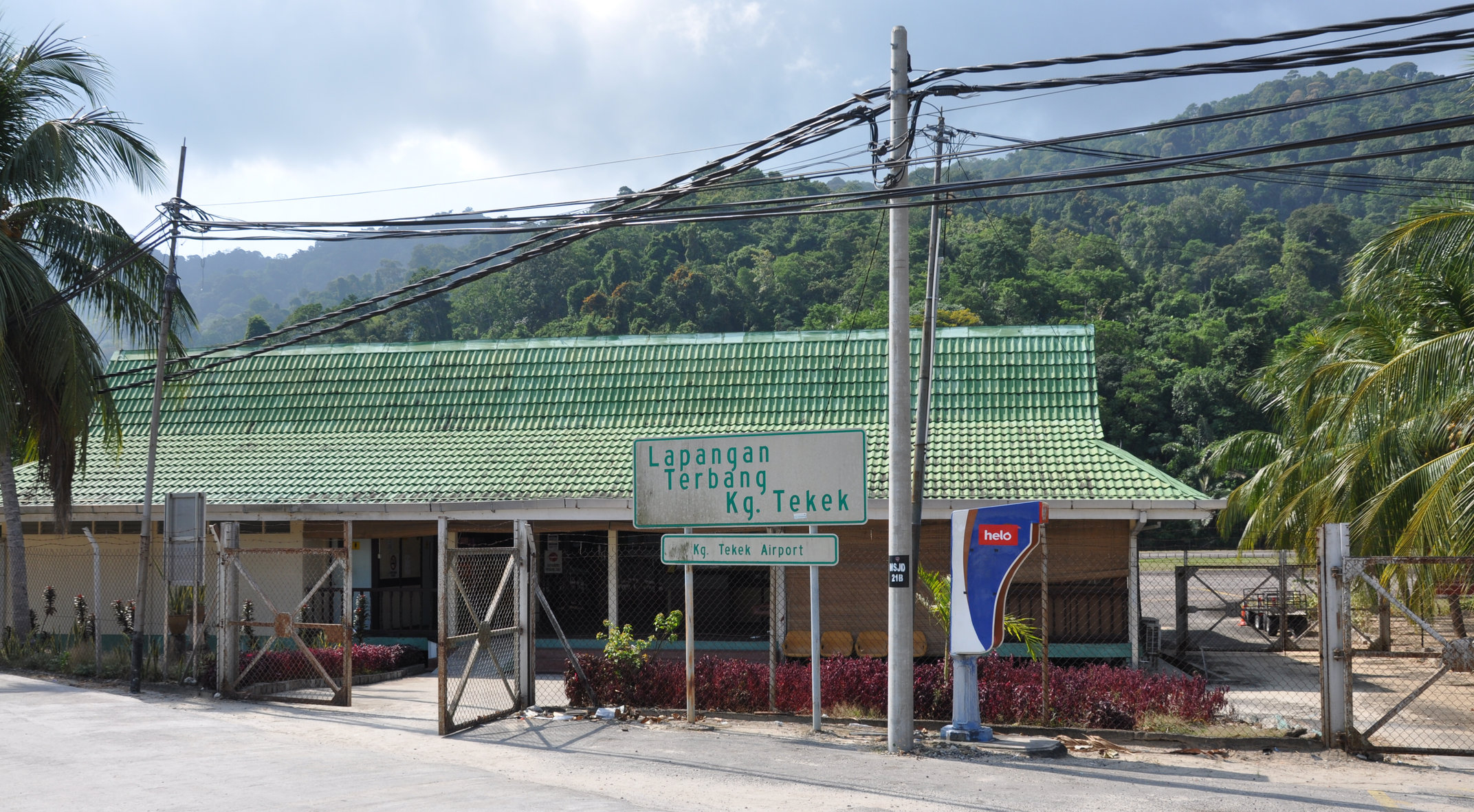
Tioman Airport terminal. |
Tioman Airport (IATA: TOD, ICAO: WMBT), also known as Pulau Tioman Airport, is an airport serving Tioman Island (Pulau Tioman) in Malaysia. It is located next to Tekek village (Kampung Tekek).
Airlines and destinations
| Airlines |
Destinations |
| Berjaya Air |
Singapore-Seletar, Subang |
The above content comes from Wikipedia and is published under free licenses – click here to read more.
| General Info
|
| Country |
Malaysia
|
| ICAO ID |
WMBT
|
| Time |
UTC+8
|
| Latitude |
2.818183
02° 49' 05.46" N
|
| Longitude |
104.160019
104° 09' 36.07" E
|
| Elevation |
15 feet
5 meters
|
| Magnetic Variation |
000° E (01/06)
|
| Operating Agency |
CIVIL GOVERNMENT, (LANDING FEES AND DIPLOMATIC CLEARANCE MAY BE REQUIRED)
|
| Communications
|
| INFO |
122.8
6781
|
| Communications Remarks |
|
| AFIS |
HF Link with Johore Tower.
|
| Runways
|
| ID |
Dimensions |
Surface |
PCN |
ILS
|
| 02/20 |
3255 x 100 feet
992 x 30 meters |
ASPHALT |
- |
NO
|
| Navaids
|
| Type |
ID |
Name |
Channel |
Freq |
Distance From Field |
Bearing From Navaid
|
| VOR-DME |
VPT |
PULAU TIOMAN |
087X |
114 |
6.6 NM |
147.4
|
| Remarks
|
| OPR HOURS |
Opr 0000-1000Z.
|
| RSTD |
Ldg Rwy 20, tkof Rwy 02
|
The content above was published at Airports-Worldwide.com in 2010.
We don't guarantee the information is fresh and accurate. The data may be wrong or outdated.
For more up-to-date information please refer to other sources.
|
|