|
|
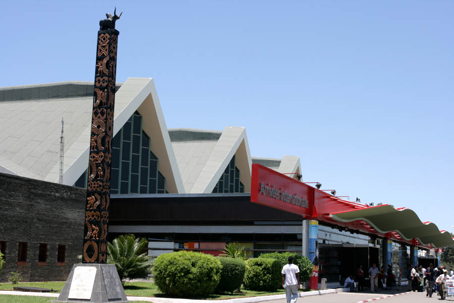
Ivato International Airport
Antananarivo-Ivato Airport |
 |
| IATA: TNR – ICAO: FMMI |
| Summary |
| Airport type |
Public/Military |
| Operator |
ADEMA (Aéroports de Madagascar) |
| Location |
Antananarivo |
| Elevation AMSL |
4,198 ft / 1,280 m |
| Coordinates |
18°47′49″S 47°28′44″E / 18.79694°S 47.47889°E / -18.79694; 47.47889Coordinates: 18°47′49″S 47°28′44″E / 18.79694°S 47.47889°E / -18.79694; 47.47889 |
| Runways |
| Direction |
Length |
Surface |
| ft |
m |
| 11/29 |
10,171 |
3,100 |
Asphalt |
Ivato International Airport (IATA: TNR, ICAO: FMMI) is an airport located in Antananarivo, the capital of Madagascar. Airport expansion
In view of the African Union Summit of 2009 and the planned but later cancelled Francophonie Summit of 2010 being held in Madagascar, Ivato airport will begin renovations that will last until 2020, with the main objective being to accommodate the landing and takeoff of the Airbus A380. A new terminal building able to accommodate 2500 passengers, a second runway, 3 jetways, and a car park will be built. The main runway will also be extended by 500 meters before November of 2011.
Airlines and destinations
| Airlines |
Destinations |
| Air Austral |
Saint-Denis de la Réunion |
| Air France |
Paris-Charles de Gaulle |
| Air Madagascar |
Ambanja, Ambatomainty, Ambatondrazaka, Analalava, Ankavandra, Antalaha, Antsalova, Antsiranana,Antsohihy, Bangkok-Suvarnabhumi, Belo, Besalampy, Farafangana, Fianarantsoa, Fort Dauphin/Tolagnaro, Guangzhou, Johannesburg, Maintirano, Majunga, Mampikony, Manakara, Mananara, Mananjary, Mandritsara, Manja, Maroantsetra, Marseille, Mauritius, Morafenobe, Morombe, Morondava, Moroni, Nairobi, Nosy-Be, Paris-Charles de Gaulle, Port Berge, Saint Denis de la Réunion, Saint-Pierre de la Réunion, Sambava, Soalala, Ste Marie, Tamatave, Tambohorano, Tsaratanana, Tsiroanomandidy, Tulear, Vohemar |
| Air Mauritius |
Mauritius |
| Comores Aviation |
Anjouan, Moroni |
| Corsairfly |
Paris-Orly |
| Kenya Airways |
Nairobi |
| South African Airways operated by Airlink |
Johannesburg |
The above content comes from Wikipedia and is published under free licenses – click here to read more.
| General Info
|
| Country |
Madagascar
|
| ICAO ID |
FMMI
|
| Time |
UTC+3
|
| Latitude |
-18.796950
18° 47' 49.02" S
|
| Longitude |
47.478806
047° 28' 43.70" E
|
| Elevation |
4198 feet
1280 meters
|
| Type |
Joint (Civil and Military)
|
| Magnetic Variation |
015° W (01/06)
|
| Operating Agency |
MILITARY - CIVIL JOINT USE AIRPORT
|
| Near City |
Antananarivo
|
| International Clearance Status |
Airport of Entry
|
| Communications
|
| TWR |
118.1
|
| APP |
126.7
|
| Runways
|
| ID |
Dimensions |
Surface |
PCN |
ILS
|
| 11/29 |
10171 x 148 feet
3100 x 45 meters |
ASPHALT |
059FBXT |
YES
|
| Navaids
|
| Type |
ID |
Name |
Channel |
Freq |
Distance From Field |
Bearing From Navaid
|
| VOR-DME |
TNV |
IVATO |
092X |
114.5 |
2.3 NM |
294.5
|
| Supplies/Equipment
|
| Fuel |
Jet A1, without icing nhibitor.
100/130 MIL Spec, low lead, aviation gasoline (BLUE)
|
| Remarks
|
| FUEL |
Avbl 0730-1800Z, PN rqred for unsked flts. (NC-100LL, A1)
|
| MISC |
180 turns on rwy proh for acft in excess of 88,000 lb GWT. Turn around areas lctd at both ends of rwy. Wide body acft must use cntr twy.
|
The content above was published at Airports-Worldwide.com in 2010.
We don't guarantee the information is fresh and accurate. The data may be wrong or outdated.
For more up-to-date information please refer to other sources.
|
|