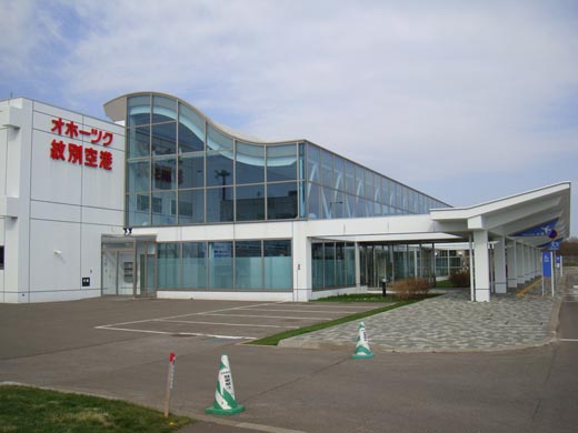
Okhotsk Monbetsu Airport
オホーツク紋別空港
Ohōtsuku Monbetsu Kūkō |
 |
| IATA: MBE – ICAO: RJEB |
| Summary |
| Airport type |
Public |
| Operator |
Hokkaidō Government |
| Location |
Monbetsu |
| Elevation AMSL |
58 ft / 18 m |
| Coordinates |
44°18′15″N 143°24′15″E / 44.30417°N 143.40417°E / 44.30417; 143.40417 (Okhotsk Monbetsu Airport)Coordinates: 44°18′15″N 143°24′15″E / 44.30417°N 143.40417°E / 44.30417; 143.40417 (Okhotsk Monbetsu Airport) |
| Runways |
| Direction |
Length |
Surface |
| m |
ft |
| 14/32 |
2,000 |
6,562 |
Asphalt concrete |
| Source: Japanese AIP at AIS Japan |
Monbetsu Airport (紋別空港, Monbetsu Kūkō) or Okhotsk Monbetsu Airport (オホーツク紋別空港, Ohōtsuku Monbetsu Kūkō) (IATA: MBE, ICAO: RJEB), is a third class airport located 3.8 NM (7.0 km; 4.4 mi) southeast of Monbetsu, a city in the Hokkaidō prefecture of Japan.
MBE is the newest airport in Hokkaidō: it opened on July 21, 1966. The airport was originally used for general aviation flights. Scheduled passenger service began after a runway extension in 1999 allowed the airport to accommodate jets. Air Nippon inaugurated daily service to New Chitose Airport outside Sapporo that year, and added flights to Tokyo International Airport in 2000. The Sapporo service was moved to Okadama Airport in 2001 and discontinued entirely in 2003.
Monbetsu now has only one daily flight to Tokyo, operated by All Nippon Airways. Hokkaido Air System also runs a daily service to New Chitose Airport between July and November.
The airport is 15 minutes from the city center and accessible by bus from the Monbetsu Bus Terminal.
Airlines and destinations
| Airlines |
Destinations |
| All Nippon Airways operated by Air Nippon |
Tokyo-Haneda |
| Hokkaido Air System |
Sapporo-Chitose [seasonal] |
The above content comes from Wikipedia and is published under free licenses – click here to read more.
| General Info
|
| Country |
Japan
|
| ICAO ID |
RJEB
|
| Time |
UTC+9
|
| Latitude |
44.303914
44° 18' 14.09" N
|
| Longitude |
143.404028
143° 24' 14.50" E
|
| Elevation |
80 feet
24 meters
|
| Magnetic Variation |
009° W (01/06)
|
| Beacon |
Yes
|
| Operating Agency |
CIVIL GOVERNMENT, (LANDING FEES AND DIPLOMATIC CLEARANCE MAY BE REQUIRED)
|
| Island Group |
Hokkaido I
|
| Operating Hours |
SEE REMARKS FOR OPERATING HOURS OR COMMUNICATIONS FOR POSSIBLE HOURS
|
| Communications
|
| REMOTE |
118.15
|
| Runways
|
| ID |
Dimensions |
Surface |
PCN |
ILS
|
| 14/32 |
6562 x 148 feet
2000 x 45 meters |
ASPHALT |
055FDXT |
YES
|
| Navaids
|
| Type |
ID |
Name |
Channel |
Freq |
Distance From Field |
Bearing From Navaid
|
| VOR-DME |
MVE |
MONBETSU |
076X |
112.9 |
At Field |
-
|
| Remarks
|
| LGT |
Rwy 14-32 thld lgt. Rwy dist mrk lgt. PAPI Rwy 14-32 MEHT 61'
|
| MISC |
Rwy grooved.
|
| OPR HOURS |
Opr 0000-0800Z.
|
The content above was published at Airports-Worldwide.com in 2010.
We don't guarantee the information is fresh and accurate. The data may be wrong or outdated.
For more up-to-date information please refer to other sources.
|


