 |
 |
|
||||
|
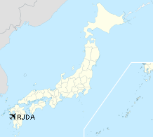
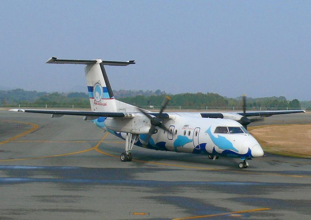
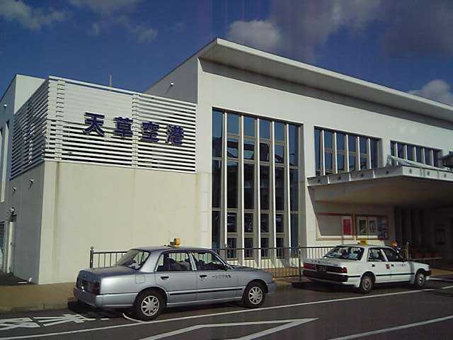
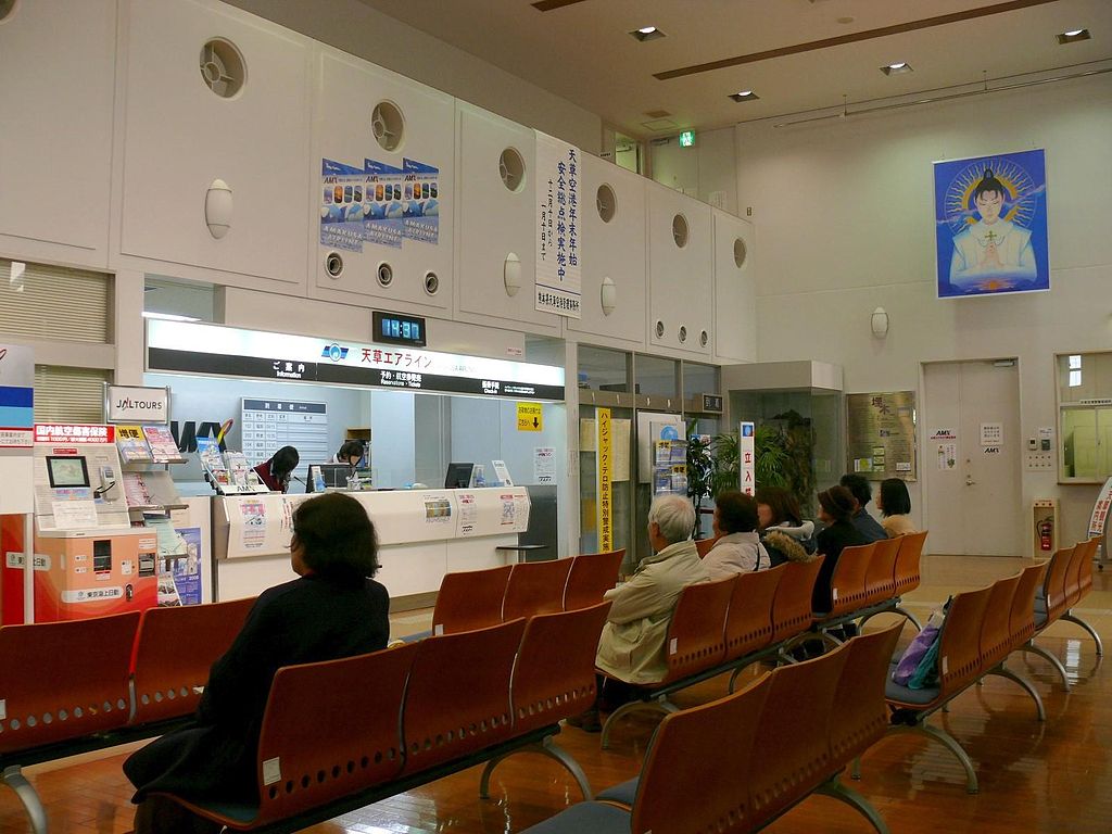
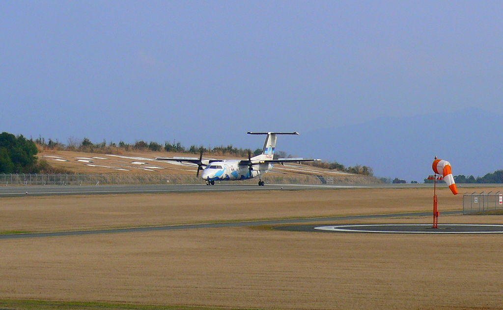
Amakusa Airfield (天草飛行場) is an airport located 2.3 NM (4.3 km; 2.6 mi) northwest of Amakusa, Kumamoto, Japan, on the Amakusa Islands (IATA: AXJ, ICAO: RJDA). Locals often referred to the airfield as Amakusa Airport. It is located on the northern side of the Amakusa Islands, north east of Amakusa city. Only one airline, Amakusa Airlines, uses this airfield. HistoryOn September 6, 1982, the governor of Kumamoto Prefecture announced plans for a small airport during a regular press conference. On December 26, 1990, the Ministry of Land, Infrastructure and Transport approved the construction of the airfield. Construction began in 1992. The first plane that landed at this airport was a DHC-8 of Amakusa Airlines on November 19, 1999. The airfield was opened for public use on March 23, 2000. In the spring of 2000, it had round trips between Amakusa Islands and Kumamoto twice a day. Starting from December 1, 2005, the operating time was extended from (8:00 am ~ 7:00 pm) to (7:40 am ~ 8:30 pm). It now has three round trips between Amakusa Airfield and Fukuoka Airport and one round trip between Amakusa Airfield and Kumamoto Airport (also one round trip between Kumamoto Airport and Kobe Airport) per day while using the same aircraft (aircraft registration number JA81AM). Since this airfield is served only by Amakusa Airlines and this airline only has one aircraft, the DHC-8 (pictured on the right) is the only aircraft that uses this airfield. Airlines and destinations
Airport communications
Runway informationLandings are made using VOR/DME approach on runway 13/31. The airport has a single runway, 13/31, which is 1,000 × 30 m (3,281 × 98 ft) and is constructed of asphalt concrete. The lighting systems on runway 13/31 are High Intensity Runway Lights, Runway End Identification Lights, and Precision Approach Path Indicator (PAPI). Airport facilities
Time zone
Ground transportAll ground transport is located on the first floor. BusKyushu Sanko Bus (九州産交バス) operate bus routes from airport to Amakusa city. RoadThe airport is connected by Kumamoto Prefecture Amakusa Highway No.334 and Itsuwa Road No.47.
Amakusa Airfield
Amakusa Airfield
Amakusa Airfield
Amakusa Airfield
The content above was published at Airports-Worldwide.com in 2010. |
||||||||||||||||||||||||||||||||||||||||||||||||||||||||||||||||||||||||||||||||||||||||||||||||||||||||||||||||||||||||||||||||||||||||||||||||||||||||||||||||||||||||||||||

 |
|
Copyright 2004-2024 © by Airports-Worldwide.com, Vyshenskoho st. 36, Lviv 79010, Ukraine Legal Disclaimer |

