|
|
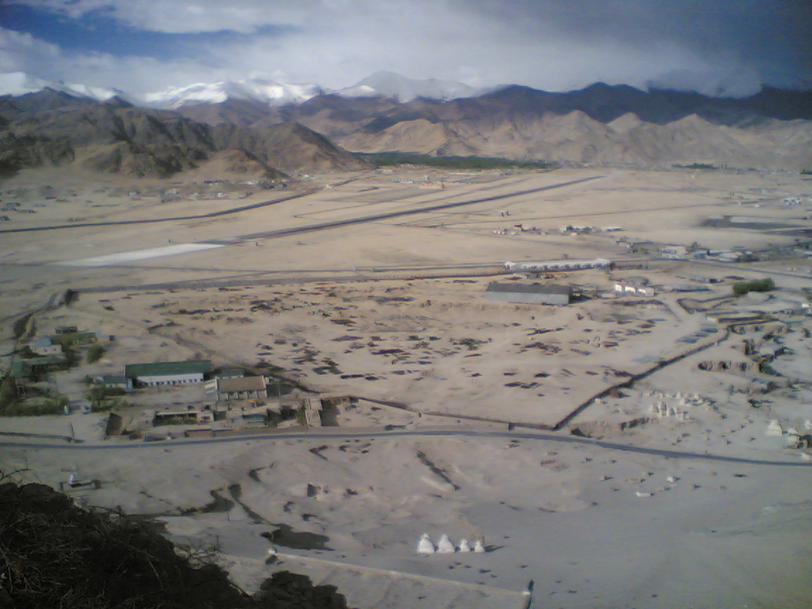
| Leh Kushok Bakula Rimpochee Airport |
 |
| Leh Kushok Bakula Rimpochee Airport |
| IATA: IXL – ICAO: VILH |
| Summary |
| Airport type |
Military/Public |
| Serves |
Leh |
| Location |
Leh, Jammu and Kashmir, India |
| Elevation AMSL |
10,682 ft / 3,256 m |
| Coordinates |
34°08′09″N 077°32′47″E / 34.13583°N 77.54639°E / 34.13583; 77.54639 |
| Runways |
| Direction |
Length |
Surface |
| m |
ft |
| 06/24 |
152 |
500 |
Asphalt |
| 07/25 |
152 |
500 |
Asphalt |
| 07L/25R |
2,755 |
9,040 |
Asphalt |
Leh Kushok Bakula Rimpochee Airport (IATA: IXL, ICAO: VILH) is an airport in Leh, Jammu and Kashmir, India. It's one of the highest airports in the world at 3,256 m (10,682 ft) above mean sea level. The airport is named after one India's and Ladakh's leading lights Kushok Bakula Rinpoche. Security
Due to problems with terrorists in Jammu and Kashmir, the security in Leh Airport is paramount. On flights departing from Leh, hand baggage is not permitted, with the exception of a camera or a laptop bag. Passengers also have to identify their check-in baggage after scanning, and before being loaded onto the aircraft. Additionally, a substantial number of police and the Indian Army patrol the airport. Also, due to the presence of mountain winds in the afternoon, all flights in Leh take off and land in the morning, around 7:00 am.
Airlines and destinations
| Airlines |
Destinations |
| Go Air |
Delhi, Pune [resumes 1 October] |
| Indian Airlines |
Delhi, Jammu, Srinagar |
| Jet Airways |
Delhi |
| Kingfisher Airlines |
Delhi |
The above content comes from Wikipedia and is published under free licenses – click here to read more.
| General Info
|
| Country |
India
|
| ICAO ID |
VILH
|
| Time |
UTC+5:30
|
| Latitude |
34.135872
34° 08' 09.14" N
|
| Longitude |
77.546514
077° 32' 47.45" E
|
| Elevation |
10682 feet
3256 meters
|
| Type |
Military
|
| Magnetic Variation |
002° E (01/06)
|
| Operating Agency |
MILITARY
|
| Runways
|
| ID |
Dimensions |
Surface |
PCN |
ILS
|
| 06/24 |
500 x 85 feet
152 x 26 meters |
ASPHALT |
- |
NO
|
| 07/25 |
500 x 60 feet
152 x 18 meters |
ASPHALT |
- |
NO
|
| 07L/25R |
9040 x 150 feet
2755 x 46 meters |
ASPHALT |
015FCXT |
NO
|
| Navaids
|
| Type |
ID |
Name |
Channel |
Freq |
Distance From Field |
Bearing From Navaid
|
| VOR-DME |
LEH |
LEH |
104X |
115.7 |
9.9 NM |
179.6
|
| NDB |
LA |
LEH |
- |
1053 |
2.0 NM |
243.0
|
| Supplies/Equipment
|
| Fuel |
Aviation Gasoline (AVGAS), octane unknown.
Jet fuel avaiable but type is unknown.
|
The content above was published at Airports-Worldwide.com in 2010.
We don't guarantee the information is fresh and accurate. The data may be wrong or outdated.
For more up-to-date information please refer to other sources.
|
|