|
|
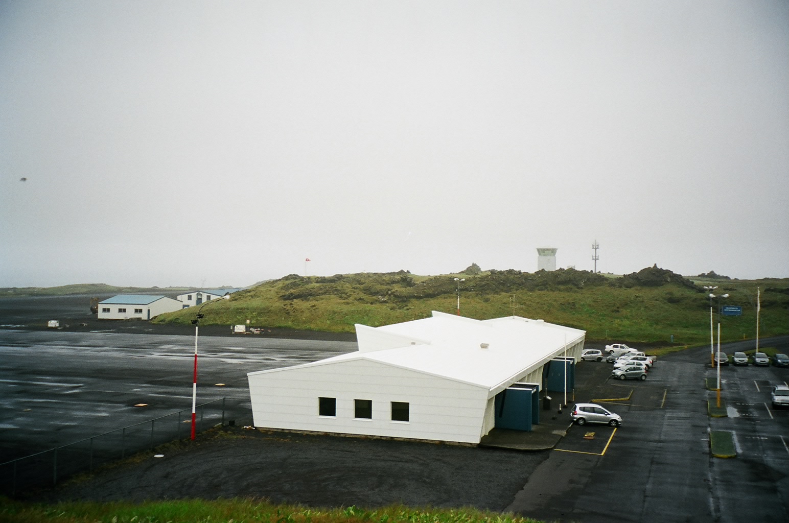
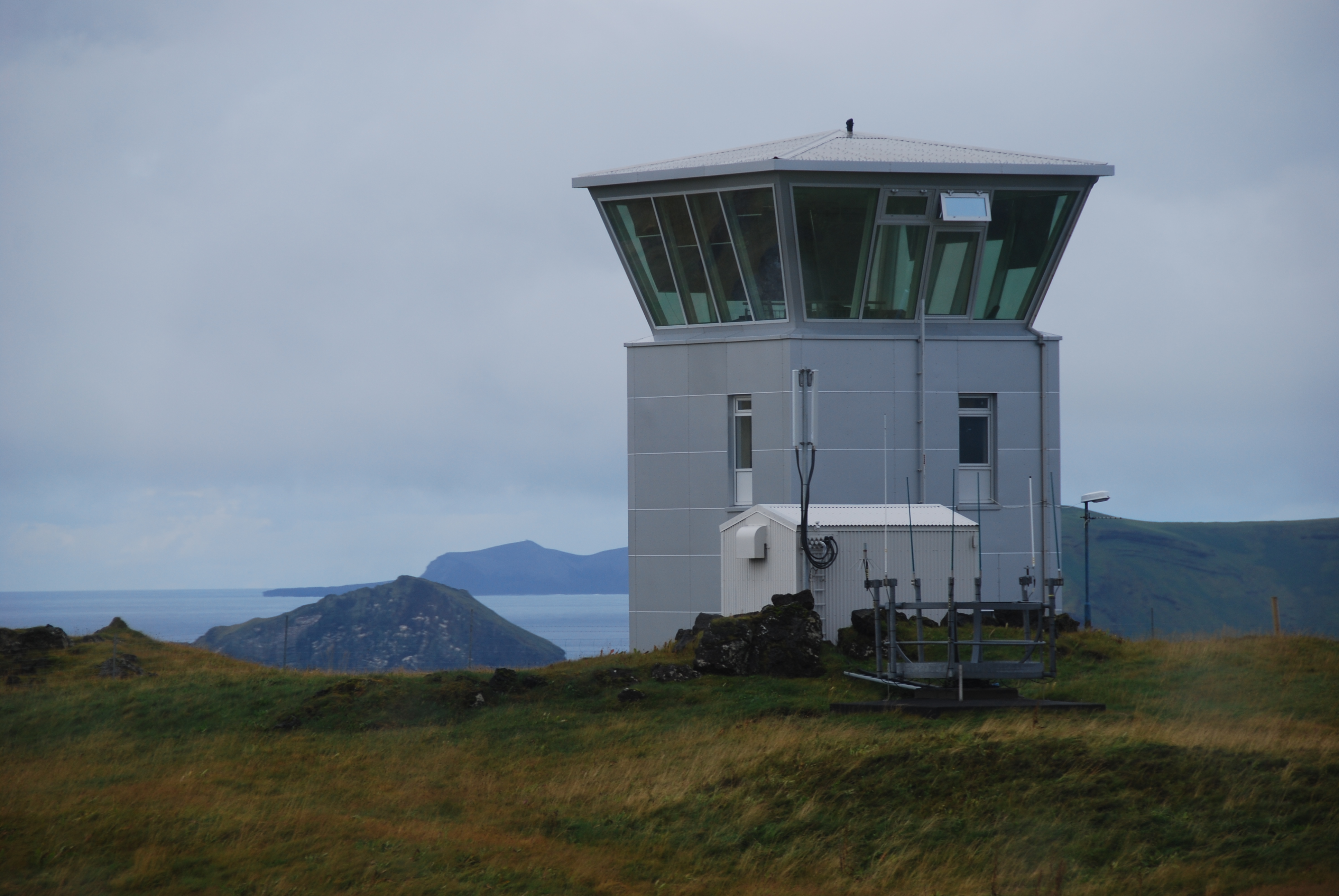
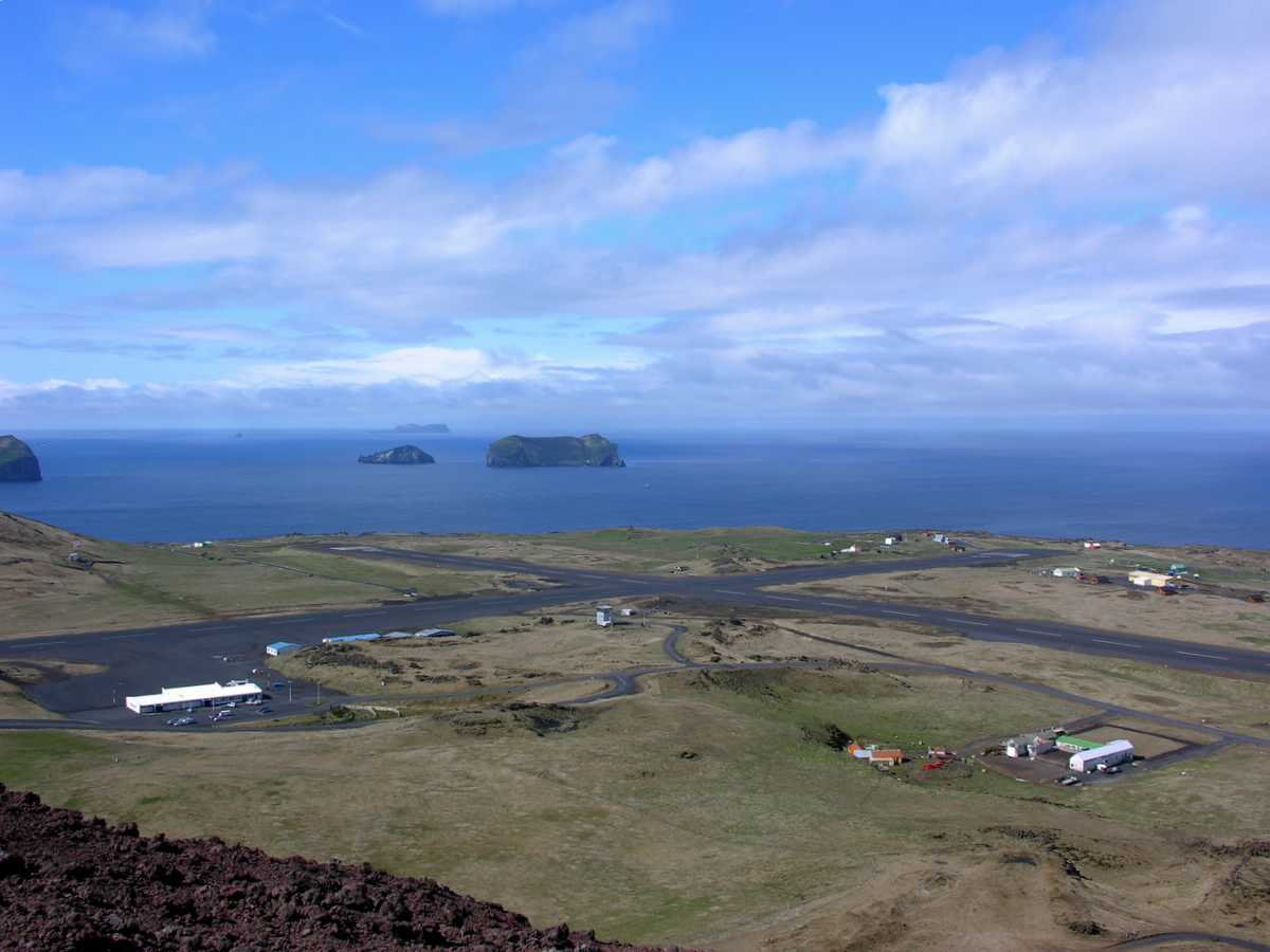
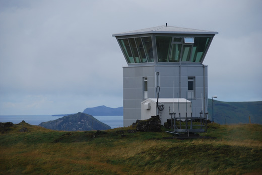
Vestmannaeyjar Airport (Icelandic: Vestmannaeyjaflugvöllur) (IATA: VEY, ICAO: BIVM) is a two-runway airport on the island of Heimaey, in Vestmannaeyjar (Westman Islands), a small archipelago off the south coast of Iceland. It is also known as Westman Islands Airport.
The main carrier was previously Air Iceland, which flew multiple daily flights to Reykjavík Airport. However, due to unresolved dispute with local government regarding flight subsidizing, the carrier ended all scheduled activity on 3 August 2010. Currently the main carrier is Eagle Air.
Vestmannaeyjar Airport has scheduled and private flights to Bakki Airport on the southern coast of Iceland, taking approximately seven minutes (depending on the weather) or by about 25-minute flight to Reykjavík Airport.
|
Vestmannaeyjar Airport
Vestmannaeyjaflugvöllur
|
|
|
|
| Summary |
| Airport type |
Public |
| Operator |
ISAVIA |
| Serves |
Vestmannaeyjar, Iceland |
| Location |
Heimaey |
| Elevation AMSL |
326 ft / 99 m |
| Coordinates |
63°25′30″N
020°16′45″W |
| Map |
Location of Airport in Iceland
|
| Runways |
| Direction |
Length |
Surface |
| m |
ft |
| 04/22 |
1,160 |
3,806 |
Asphalt |
| 13/31 |
1,199 |
3,934 |
Asphalt |
|
| Statistics (2016) |
|
|
History
During Eldfell’s volcanic eruption in 1973, Vestmannaeyjar Airport served as an evacuation point for elderly and patients from the hospital who could not evacuate by boat. After the eruption was over, the tephra provided suitable materials to extend the runways.
Airlines and scheduled destinations
| Destinations |
| Eagle Air |
Reykjavík |
 |
Vestmannaeyjar Airport |
 |
Vestmannaeyjar Airport |
The above content comes from Wikipedia and is published under free licenses – click here to read more.
| General
Info
|
| Country |
Iceland
|
| ICAO
ID |
BIVM
|
| Time |
UTC
0
|
| Latitude |
63.424303
63 25' 27.49" N
|
| Longitude |
-20.278875
020 16' 43.95" W
|
| Elevation |
326
feet
99 meters
|
| Magnetic
Variation |
015
W (01/06)
|
| Operating
Agency |
CIVIL
GOVERNMENT, (LANDING FEES AND DIPLOMATIC CLEARANCE MAY BE REQUIRED)
|
| Operating
Hours |
SEE
REMARKS FOR OPERATING HOURS OR COMMUNICATIONS FOR POSSIBLE HOURS
|
| Runways
|
ID
|
Dimensions |
Surface |
PCN |
ILS
|
| 04/22
|
3806
x 148 feet
1160 x 45 meters |
BITUMINOUS,
TAR OR ASPHALT MIXED IN PLACE, OILED. |
- |
NO
|
| 13/31
|
3934
x 148 feet
1199 x 45 meters |
BITUMINOUS,
TAR OR ASPHALT MIXED IN PLACE, OILED. |
- |
NO
|
| Navaids
|
| Type |
ID |
Name |
Channel |
Freq |
Distance
From Field |
Bearing
From Navaid
|
| NDB |
VM |
VESTMANNAEYJAR |
- |
375 |
1.5 NM |
026.6
|
| DME |
HL |
HELGAFELL |
044X |
- |
At
Field |
-
|
| Supplies/Equipment
|
| Fuel |
Jet
A1, without icing nhibitor.
100/130 MIL Spec, low lead, aviation gasoline (BLUE)
|
| Other
Fluids |
DE-ICE,
Anti-icing/De-icing/Defrosting Fluid (MIL A 8243) |
| Remarks
|
| FLUID |
De-Ice
O/R.
|
| FUEL |
(NC-100LL,
A1)
|
| LGT |
PAPI
Rwy 31 GS 3.5 . Hills 1 NM fr thld Rwy 22 (929' AMSL) reach abv
GS of PAPI. PAPI Rwy 22 useable only within 1 NM. Cliffs in hill
south of thld Rwy 31 arefloodlit and red obst lgt show hillside.
|
| MISC |
Rwys
are double sfc dressing, 328' ASP avbl both ends of Rwy 13-31.
|
| OPR
HOURS |
Opr
0700-2300Z. |
| Communications
|
| TWR |
118.5
|
| REYKJAVIK
DEP |
119.0
|
| REYKJAVIK
ACC |
119.7
|
The content above was published at Airports-Worldwide.com in 2019.
We don't guarantee the information is fresh and accurate. The data may be wrong or outdated.
For more up-to-date information please refer to other sources.
|
|