|
|
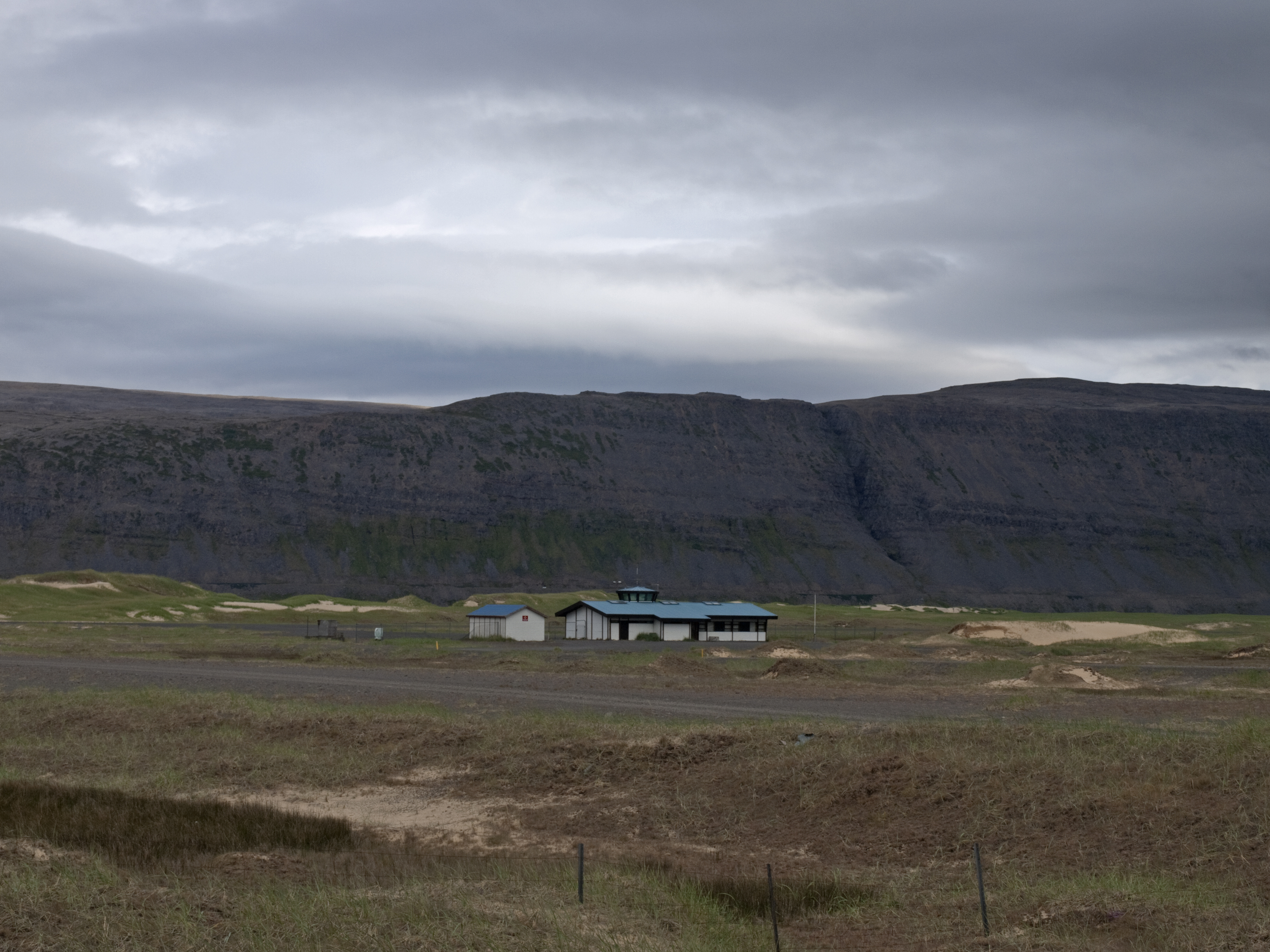
Patreksfjörður Airport or Patreksfjordur Airport (IATA: PFJ, ICAO: BIPA) is an airport serving Patreksfjörður, Iceland. The airport is across the fjord, 4.8 kilometres (3.0 mi) south of the town.
The Patreksfjordur non-directional beacon (Ident: PA) is located on the field.
|
Patreksfjörður Airport
|
|
|
|
| Summary |
| Airport type |
Public |
| Operator |
Government |
| Serves |
Patreksfjörður, Iceland |
| Elevation AMSL |
11 ft / 3 m |
| Coordinates |
65°33′25″N
23°58′10″W |
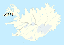
| Map |
PFJ
Location of Airport in Iceland
|
| Runways |
| Direction |
Length |
Surface |
| m |
ft |
| 14/32 |
1,400 |
4,593 |
Asphalt |
|
The above content comes from Wikipedia and is published under free licenses – click here to read more.
| General
Info
|
| Country |
Iceland
|
| ICAO
ID |
BIPA
|
| Time |
UTC
0
|
| Latitude |
65.555833
65 33' 21.00" N
|
| Longitude |
-23.965000
023 57' 54.00" W
|
| Elevation |
11
feet
3 meters
|
| Magnetic
Variation |
019
W (01/06)
|
| Operating
Agency |
CIVIL
GOVERNMENT, (LANDING FEES AND DIPLOMATIC CLEARANCE MAY BE REQUIRED)
|
| Operating
Hours |
SEE
REMARKS FOR OPERATING HOURS OR COMMUNICATIONS FOR POSSIBLE HOURS
|
| Communications
|
| REYKJAVIK
ACC |
119.7
|
| Runways
|
| ID |
Dimensions |
Surface |
PCN |
ILS
|
| 14/32
|
4593
x 98 feet
1400 x 30 meters |
BITUMINOUS,
TAR OR ASPHALT MIXED IN PLACE, OILED. |
- |
NO
|
| Navaids
|
| Type |
ID |
Name |
Channel |
Freq |
Distance
From Field |
Bearing
From Navaid
|
| NDB |
PA |
PATREKSFJORDUR |
- |
348 |
At
Field |
-
|
| Remarks
|
| CAUTION |
Rwy
14-32 is sfc dressing. Use brakes with ctn and use as big a turning
rad as possible.
|
| FUEL |
(NC-100LL)
|
| LGT |
Rwy
lgt used only in daytime, exc emerg.
|
| OPR
HOURS |
Opr
O/R via C354-456-2266. |
The content above was published at Airports-Worldwide.com in 2019.
We don't guarantee the information is fresh and accurate. The data may be wrong or outdated.
For more up-to-date information please refer to other sources.
|
|