|
 |
|
||||
|
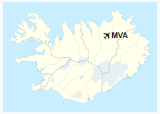
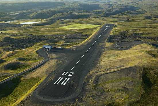
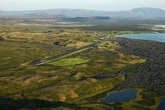
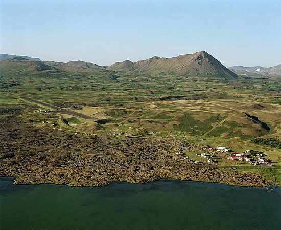
Mývatn Airport (IATA: MVA, ICAO: BIRL) is an airport serving Reykjahlíð, Iceland. The Lake Mývatn area is a nature preserve of volcanic origin.
During the so-called Mývatn fires, caused by the eruption of the nearby volcano Krafla in 1729, the village was destroyed by a lava stream. However, the inhabitants were saved when the lava flow stopped in front of the village church on higher ground, allegedly as the result of the prayers of the village priest. The church is still there, although the present building dates from 1972. From Reykjahlíð, it is possible to go to many sights in the area, most notably Krafla. The volcano last erupted in the 1980s, but the vapour of a warm lava field and of sulphur springs can still be seen. Not far from there is the crater Víti (meaning "hell" in Icelandic), but looking today rather harmless with a blue lake at its bottom. Its apparent tranquility belies the fact that its last eruption was as recent as 1976. Other interesting places are on the lake itself, like the volcano Hverfjall or the pseudo-craters of Skútusstaðir. A plant for extraction and processing of diatomite is a main point in local economy. Reykjahlid BIRL
This photo - Copyright © Mats Wibe Lund - www.myndasafn.is Images and information placed above are from We thank them for the data! The content above was published at Airports-Worldwide.com in 2019.
|
||||||||||||||||||||||||||||||||||||||||||||||||||||||||||||||||||

 |
|
Copyright 2004-2024 © by Airports-Worldwide.com, Vyshenskoho st. 36, Lviv 79010, Ukraine Legal Disclaimer |
")