|
|
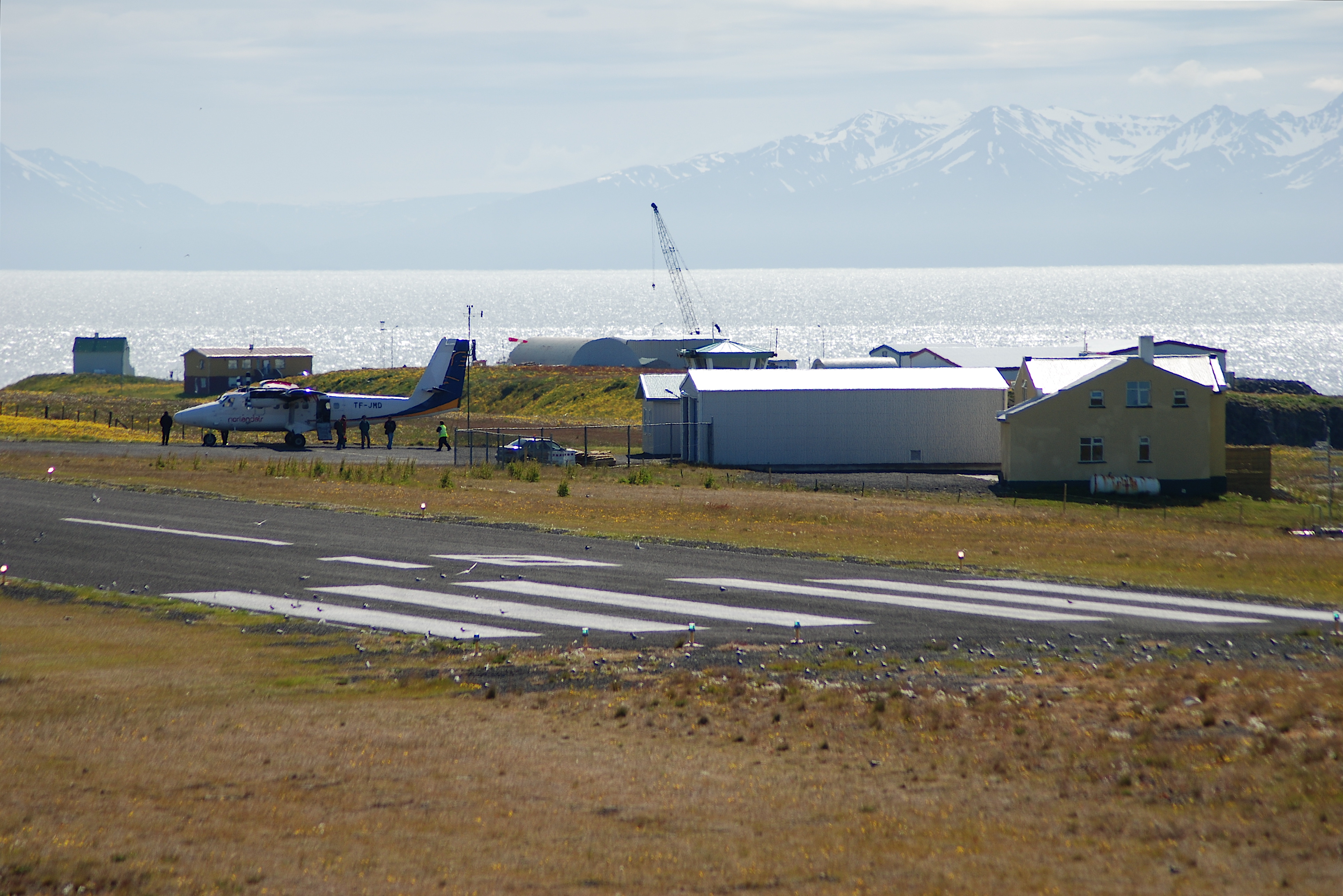
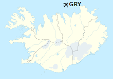
Grímsey Airport (Icelandic: Grímseyjarflugvöllur) (IATA: GRY, ICAO: BIGR) is an airport serving Grímsey, a small island 40 kilometres (25 mi) north of Iceland.
|
Grímsey Airport
Grímseyjarflugvöllur
|
|
|
|
| Summary |
| Airport type |
Public |
| Operator |
ISAVIA |
| Serves |
Grímsey, Iceland |
| Elevation AMSL |
81 ft / 25 m |
| Coordinates |
66°32′45″N
18°01′00″W |
| Map |
|
|
| Runways |
| Direction |
Length |
Surface |
| m |
ft |
| 18/36 |
1,036 |
3,399 |
Asphalt |
|
| Statistics (2016) |
|
|
Airlines and destinations
| Destinations |
| Norlandair |
Akureyri |
The above content comes from Wikipedia and is published under free licenses – click here to read more.
The content above was published in 2019.
We don't guarantee the information is fresh and accurate. The data may be wrong or outdated.
For more up-to-date information please refer to other sources.
|
|