|
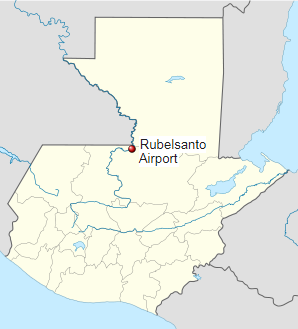
Rubelsanto Airport (IATA: RUV, ICAO: MGRB) is an airport serving the village of Rubelsanto in Alta Verapaz Department, Guatemala.
The Rubelsanto non-directional beacon (Ident: RUB) is on the field.
|
Rubelsanto Airport
|
|
|
| Summary |
| Airport type |
Public |
| Serves |
Rubelsanto, Guatemala |
| Elevation AMSL |
426 ft / 130 m |
| Coordinates |
15°59′30″N
90°26′40″W |
| Map |
|
|
| Runways |
| Direction |
Length |
Surface |
| m |
ft |
| 08/26 |
1,430 |
4,692 |
Asphalt |
|
The above content comes from Wikipedia and is published under free licenses – click here to read more.
| General Info
|
| Country |
Guatemala
|
| ICAO ID |
MGRB
|
| Time |
UTC-6
|
| Latitude |
15.992008
15° 59' 31.23" N
|
| Longitude |
-90.445331
090° 26' 43.19" W
|
| Elevation |
426 feet
130 meters
|
| Magnetic Variation |
002° E (01/06)
|
| Operating Agency |
PRIVATE
|
| Runways
|
| ID |
Dimensions |
Surface |
PCN |
ILS
|
| 08/26 |
4690 x 70 feet
1430 x 21 meters |
ASPHALT |
- |
NO
|
| Navaids
|
| Type |
ID |
Name |
Channel |
Freq |
Distance From Field |
Bearing From Navaid
|
| NDB |
RUB |
RUBELSANTO |
- |
260 |
At Field |
-
|
| Remarks
|
| OPR HOURS |
Opr SR-SS.
|
The content above was published at Airports-Worldwide.com in 2020.
We don't guarantee the information is fresh and accurate. The data may be wrong or outdated.
For more up-to-date information please refer to other sources.
|