|
 |
|
||||
|
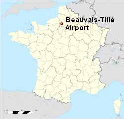
Beauvais-Tillé Airport or Aéroport de Beauvais-Tillé (Aéroport de Paris-Beauvais-Tillé for commercial use only) (IATA: BVA, ICAO: LFOB) is a French airport, originally the small regional airport of the city of Beauvais. It is actually located in the community of Tillé, 3.5 km (2.2 mi) north northeast of Beauvais, a commune of the Oise département, and is 85 km (53 mi) north of Paris. The airport has four gates and a snack bar and shopping area, both airside and in the publicly accessible area. The airport handled 2.6 million passengers in 2009. Despite its official name being Aéroport de Beauvais-Tillé and the airport being 3 times further from Paris than Paris-Charles de Gaulle Airport, low-cost airlines serving the airport advertise it as Paris-Beauvais.
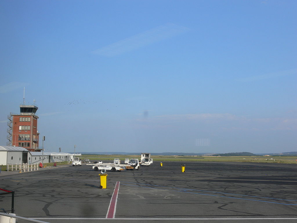
Beauvais–Tillé Airport
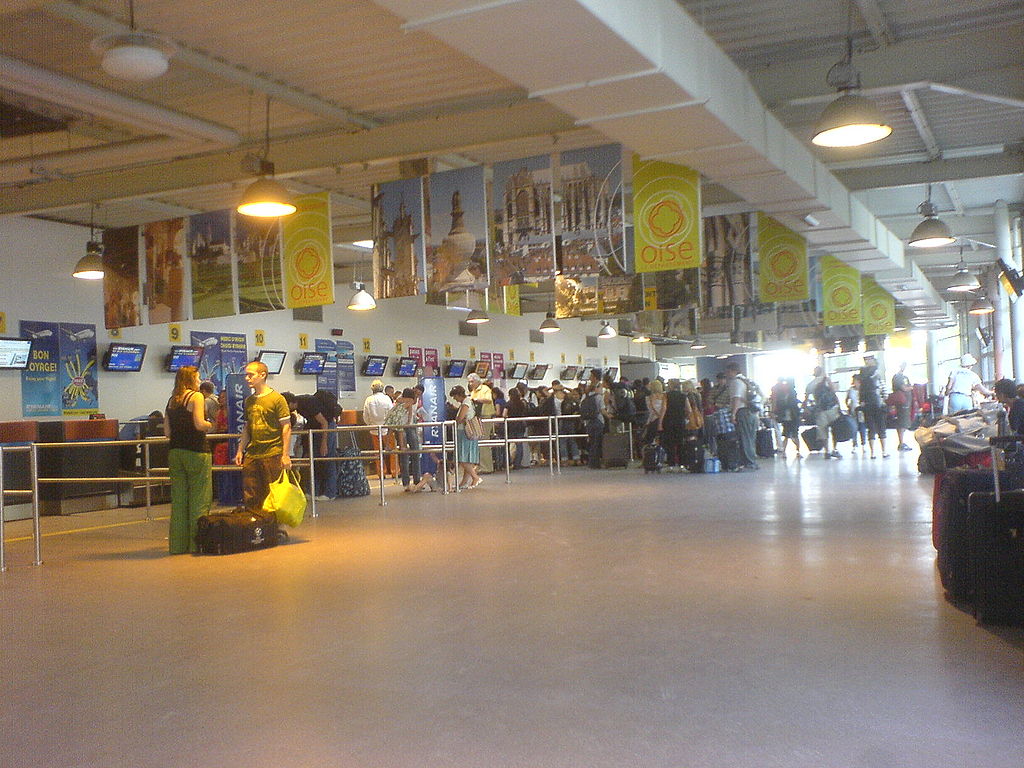
Beauvais–Tillé Airport / Terminal 1 check-in area
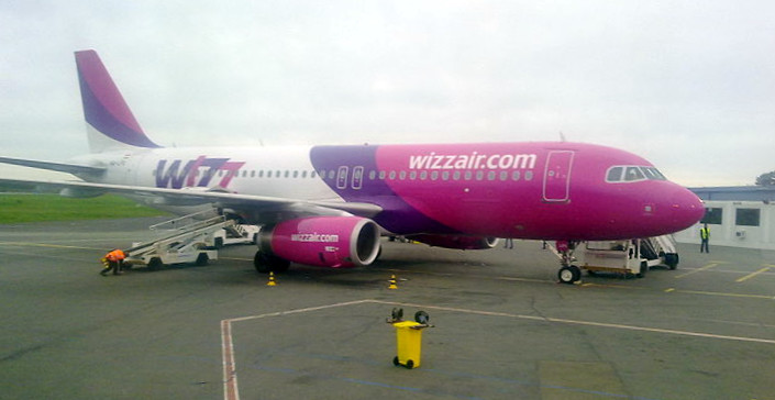
Beauvais–Tillé Airport / Airbus A320 of Wizz Air, Beauvais–Tillé Airport, 3 April 2011. EquipmentThe airport is equipped to welcome medium-sized passenger jets in good visibility, and between the hours of 7:00 to 23:30. Since 2007 the ban on night flying has been strictly enforced for the benefit of local residents. Passenger planes arriving after 23:30 can be diverted to Lille Lesquin International Airport, Frankfurt-Hahn Airport, Paris-Charles de Gaulle Airport or Brussels South Charleroi Airport. The main runway, 12/30, only has an instrument landing system (ILS) in QFU 30 and a Precision Approach Path Indicator (PAPI) in QFU 12. It does not have an ILS to CAT III standard. This means planes can have difficulty landing in some bad weather conditions, notably when fog descends on the airport. In June 2009, ILS CAT III equipment was installed at the airport; it is expected to greatly reduce delays caused by bad weather. Airlines and destinations
To and from the airportThe airport is serviced by a shuttle to the city centre and railway station that operates eight times a day; many passengers use a private scheduled coach for a 75-minute trip to Paris, ending beside the Palais des Congrès at Porte Maillot, located in the 17th arrondissement, approximately a kilometre west of the Arc de Triomphe. There is a taxi rank at the airport, and also a shuttle bus into the town. To go in the downtown (town centre) of Beauvais, you can take the commuter bus provided by the Transports Urbains du Beauvaisis:
Beauvais train station is situated almost 4 km (2.5 mi) away, with connections to Paris Gare du Nord, Amiens, etc. There are also many minibus and shuttle services that can bring you to Paris or Disneyland Park which are popular destinations for passengers arriving at Beauvais Tillé. HistoryThis airport was built in the 1930s and seized by the Germans in June 1940 during the Battle of France. German use during World War IIBeauvais was used as a Luftwaffe military airfield during the occupation. Known units assigned (all from Luftlotte 3, Fliegerkorps IV):
The initial German use of the airport was as a bomber base. KG 76 and SKG 1 both took part in the Battle of Britain. I./KG 76 was reduced to 19 out of 29 serviceable machines by 18 August 1940. KG 76 raided London on 7 September and 15 September,
With the Luftwaffe switching to night attacks on England, the badly mauled units at Beauvais were replaced by a series of He 111 and Ju 88A units that carried out anti-shipping missions (KG 26, KG 77); night bombing missions over England (KG 4, KG 54. KG 6)
The increasing number and frequency of USAAF Eighth Air Force B-17 Flying Fortress and B-24 Liberator daylight heavy bomber raids over Occupied Europe and Germany made the Luftwaffe to move out the bomber units and assign day interceptor fighter units to attack the American bombers (Defense of the Reich campaign). After D-Day, elements of JG 1 were moved to France and were tasked with providing air support to the army Wehrmacht, along with their normal air defense role against Allied bombers In response to the intereptor attacks, Beauvais was attacked by USAAF Ninth Air Force B-26 Marauder medium bombers and P-47 Thunderbolts mostly with 500-pound General-Purpose bombs; unguided rockets and .50 caliber machine gun sweeps when Eighth Air Force heavy bombers (B-17s, B-24s) were within interception range of the Luftwaffe aircraft assigned to the base. The attacks were timed to have the maximum effect possible to keep the interceptors pinned down on the ground and be unable to attack the heavy bombers. Also the P-51 Mustang fighter-escort groups of Eighth Air Force would drop down on their return back to England and attack the base with a fighter sweep and attack any target of opportunity to be found at the airfield. American useIt was liberated by Allied ground forces about 3 September 1944 during the Northern France Campaign. Almost immediately, the United States Army Air Force IX Engineer Command 818th Engineer Aviation Battalion cleared the airport of mines and destroyed Luftwaffe aircraft. Fortunately, little battle damage was sustained, and the airport became a USAAF Ninth Air Force combat airfield, designated as Advanced Landing Ground "A-61" about 15 September, also being known as "Beauvais/Tille Airfield". From Beauvais, the Ninth Air Force 322d Bombardment Group flew B-26 Marauder medium bombers from mid-September until March 1945.. Once the combat unit moved east, the airport was used by transport units, flying in supplies from England and evacuating combat casualties on the return trip. The Americans returned full control of the airport to French authorities on 17 August 1945. Postwar/CurrentIn 1950 the Air Ministry offered to provide the wartime air base to NATO as part of the Cold War development of the alliance, and the need for additional air bases in the face of the Warsaw Pact threat to Western Europe. Beauvais was selected to become a NATO Emergency airfield (Beauvais-Tillé Air Base), controlled by the French Air Force and intended for use by all NATO air forces to disperse their aircraft in case of war. Demolition crews arrived and removed the wartime wreckage and any unexploded munitions were removed from the site. However, funding shortages did not allow the construction of an 8000' jet runway, dispersal pads and other features found at a modern military airfield. Instead, in 1953 the NATO plans for Beauvais were discontinued and the airport was returned to private hands. It took until 1956 for Beauvais-Tillé to be rebuilt as a civil airport and reopened for commercial use. Redevelopment began in 2005. The airport then had three gates, housed within a marquee tent while the permanent facilities were being redeveloped. Today the airport is a modern, well-equipped civil airport. Evidence of its wartime history is the 22 end of the northeast/southwest runway, with about 2000' of the end being the unused surface of the wartime runway, complete with several patched bomb craters left by the Ninth Air Force bomber attacks and some single-lane concrete roads, being the remainders of wartime taxiways. In addition, ruins of the support technical site remain to the northeast of the airport, near the commune of Mortaine, with connecting taxiways and the foundations/rubble of what appears to be buildings or an aircraft hangar. Wartime dispersal revetments in a wooded area, also connected by taxiways remain. The above content comes from Wikipedia and is published under free licenses – click here to read more.
The content above was published at Airports-Worldwide.com in 2010. |
|||||||||||||||||||||||||||||||||||||||||||||||||||||||||||||||||||||||||||||||||||||||||||||||||||||||||||||||||||||||||||||||||||||||||||||||||||||||||||||||||||||||||||||||||||||||||||||||||||||||||

 |
|
Copyright 2004-2024 © by Airports-Worldwide.com, Vyshenskoho st. 36, Lviv 79010, Ukraine Legal Disclaimer |