|
|
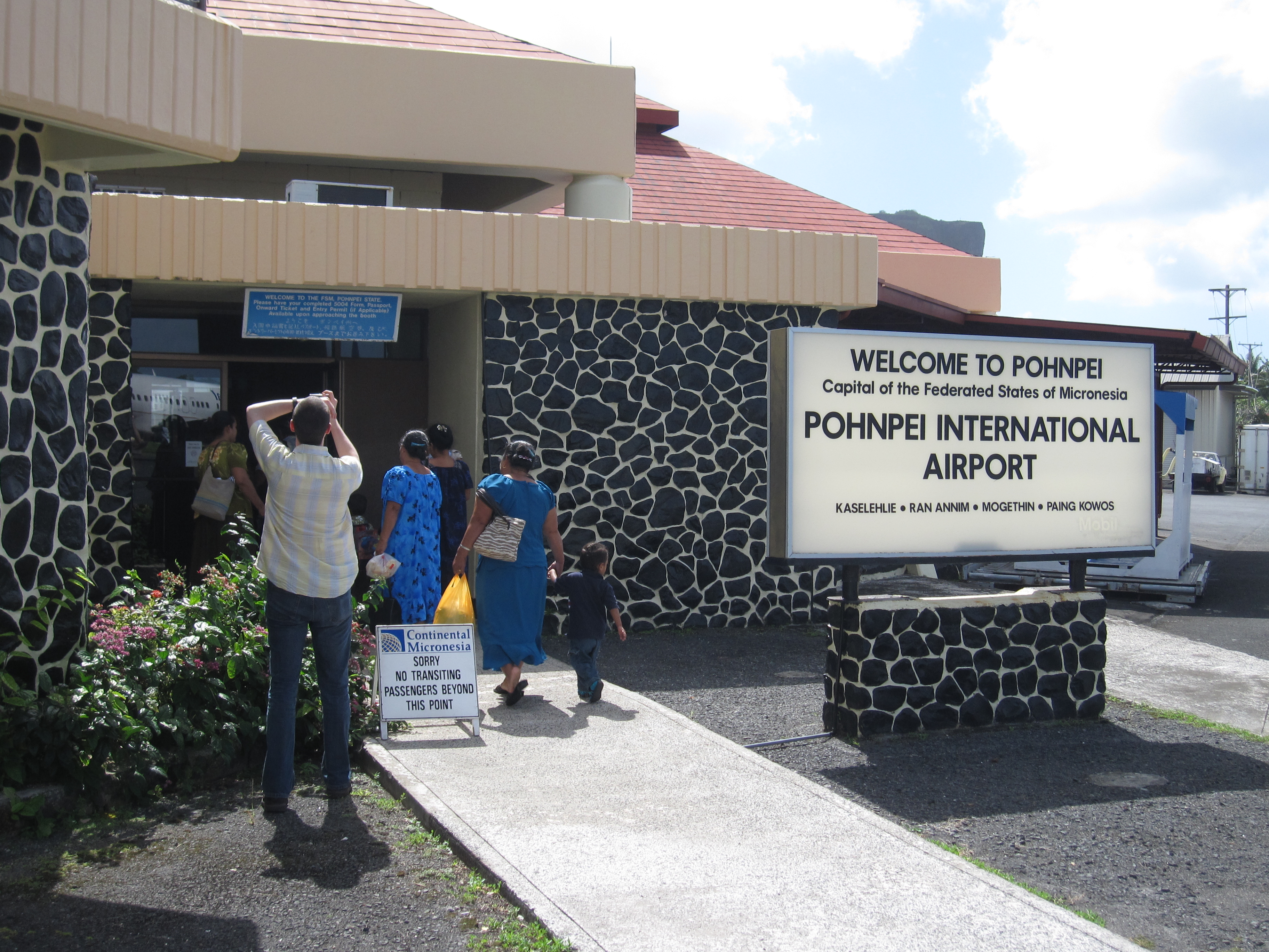
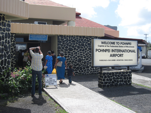
| Pohnpei International Airport |
 |
| IATA: PNI – ICAO: PTPN |
| Summary |
| Airport type |
Public |
| Serves |
Pohnpei |
| Elevation AMSL |
10 ft / 3 m |
| Coordinates |
06°59′06″N 158°12′32″E / 6.985°N 158.20889°E / 6.985; 158.20889 |
| Runways |
| Direction |
Length |
Surface |
| ft |
m |
| 09/27 |
6,001 |
1,829 |
Asphalt |
Pohnpei International Airport (IATA: PNI, ICAO: PTPN) is an airport located on Pohnpei (formerly Ponape), the main island of the State of Pohnpei and the capital of the Federated States of Micronesia.
The extension of the Pohnpei International Airport began in 2009, and it is anticipated that it will be completed in 2011. The Japanese Government has agreed to provide about US $29 million for the entire project. The project includes extending the runway by 228m and improving the terminal facilities and apron. Enhancements will help solve problems such as when a 727 cargo jet over-run the runway and the airport had to be closed for 6 days in May, 2008.
Airlines and destinations
Like many islands within the region, commercial air service is rather limited due to small population and tourist traffic. The only scheduled passenger services for Pohnpei are Continental Micronesia's "Island Hopper" route between Guam and Honolulu (three times weekly in each direction) and the weekly Guam-Chuuk-Pohnpei flight.
| Airlines |
Destinations |
| Continental Airlines operated by Continental Micronesia |
Chuuk, Guam, Honolulu, Kosrae, Kwajalein, Majuro |
In addition to passenger services, Asia Pacific Airlines transports cargo (including U.S. mail) to and from Pohnpei.
The above content comes from Wikipedia and is published under free licenses – click here to read more.
| General Info
|
| Country |
Federated States
|
| ICAO ID |
PTPN
|
| Time |
UTC+11
|
| Latitude |
6.985100
06° 59' 06.36" N
|
| Longitude |
158.208989
158° 12' 32.36" E
|
| Elevation |
10 feet
3 meters
|
| Magnetic Variation |
006° E (01/06)
|
| Beacon |
Yes
|
| Operating Agency |
CIVIL GOVERNMENT, (LANDING FEES AND DIPLOMATIC CLEARANCE MAY BE REQUIRED)
|
| Near City |
Ponape
|
| Island Group |
Pohnpei I
|
| Operating Hours |
SEE REMARKS FOR OPERATING HOURS OR COMMUNICATIONS FOR POSSIBLE HOURS
|
| International Clearance Status |
Airport of Entry
|
| Communications
|
| RDO |
123.6
5205
2182
|
| CTAF |
123.6
|
| Communications Remarks |
|
| RDO |
(123.6 AAS)(5205X USB and 2182 emerg only)
|
| Runways
|
| ID |
Dimensions |
Surface |
PCN |
ILS
|
| 09/27 |
6001 x 150 feet
1829 x 46 meters |
ASPHALT |
- |
NO
|
| Navaids
|
| Type |
ID |
Name |
Channel |
Freq |
Distance From Field |
Bearing From Navaid
|
| NDB-DME |
PNI |
POHNPEI |
047X |
366 |
1.6 NM |
055.0
|
| Supplies/Equipment
|
| Fuel |
Jet A1+, Jet A1 with icing inhibitor.
100/130 octane gasoline, leaded, MIL-L-5572F (GREEN)
100/130 MIL Spec, low lead, aviation gasoline (BLUE)
|
| Remarks
|
| CAUTION |
WIP on rwy. Ships with max hgt of 150' in Pohnpei Channel 400' off thld Rwy 09. Obst lgtd 662' Peipalap Peak lctd 4900' SW of thld Rwy 09.
|
| FUEL |
A1 (Mobil Micronesia C691-320-2500) (100, 100LL stored off arpt, avbl O/R)
|
| LGT |
ACTIVATE-MIRL Rwy 09-27 and twy lgt-CTAF. ACTIVATE Rot Bcn, PAPI Rwy 09-27, REIL Rwy 09 and windcone ctc RDO.
|
| MISC |
Fire/Rescue avbl 1 hr prior arr and .5 hr after dep.
|
| OPR HOURS |
Attended Mon-Fri 2100-0400Z, Sat 2100--0200Z, Sun 0600-1300Z, call C691-320-2793/3999. Security on duty, ARFF and SAWR for non-sched flts.
|
| RSTD |
PPR filed 48 hrs prior fr FSM Sec Of Transportation, Communications and Infrastructure. Flt plan must be filed 12 hr prior to ETA; ctc arpt mgr C691-320-2682.
|
The content above was published at Airports-Worldwide.com in 2010.
We don't guarantee the information is fresh and accurate. The data may be wrong or outdated.
For more up-to-date information please refer to other sources.
|
|