|
|
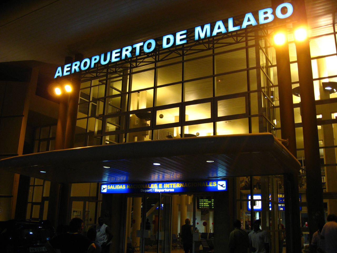
| Malabo International Airport |
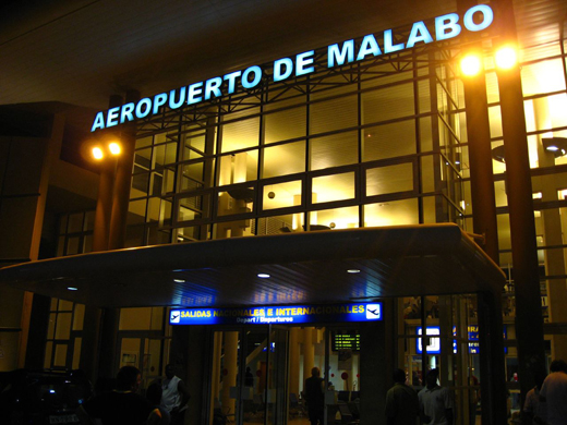 |
| Malabo International Airport, June 2007 |
| IATA: SSG – ICAO: FGSL |
| Summary |
| Airport type |
Military/Public |
| Operator |
Aeropuertos De Guinea Ecuatorial (ADGE) |
| Location |
Malabo, Equatorial Guinea |
| Elevation AMSL |
76 ft / 23 m |
| Coordinates |
03°45′18″N 08°42′31″E / 3.755°N 8.70861°E / 3.755; 8.70861Coordinates: 03°45′18″N 08°42′31″E / 3.755°N 8.70861°E / 3.755; 8.70861 |
| Runways |
| Direction |
Length |
Surface |
| ft |
m |
| 05/23 |
9,647 |
2,940 |
Concrete |
Malabo Airport or Saint Isabel Airport (IATA: SSG, ICAO: FGSL) is an airport located at Punta Europa, Bioko Island, Equatorial Guinea. The airport is named after the capital, Malabo, approximately 9 kilometres to the east. Until the discovery of oil within the borders of Equatorial Guinea during the mid-90s, the airport was a tin-roofed shack that only serviced one international flight, the government was the main user of the airport. Today it is used mainly by two opposing groups; the Petroleum industry and conservationists. During the Nigerian Civil War, the airport was used as a base for flights into Biafra.
The old tin shack that used to greet arrivals has been replaced by a modern airport lounge. The airport now receives a comfortable amount of foreign traffic, although parts of the runway are in need of repair. Despite recent progress, Malabo airport is one of only two paved airports in Equatorial Guinea, according to the CIA world factbook's entry for the country, with the other being Bata Airport, located on mainland Africa. The hangars can service large aircraft such as the McDonnell Douglas DC-10 or the C-130 Hercules. In 2001, the airport served 34,500 passengers and that number has since risen. Airlines and destinations
| Airlines |
Destinations |
| Air France |
Paris-Charles de Gaulle |
| Benin Golf Air |
Cotonou, Douala, Libreville, Lomé |
| CEIBA Intercontinental |
Annobón, Bata, Brazzaville, Cotonou, Douala, Libreville, São Tomé |
| Ethiopian Airlines |
Addis Ababa, Douala |
| Guinea Ecuatorial Airlines |
Bata |
| Iberia |
Madrid |
| Kenya Airways |
Douala, Nairobi |
| Lufthansa |
Frankfurt |
| Royal Air Maroc |
Casablanca |
Cargo airlines
- MK Freighters/Panalpina
- World Airways
- CEIBA Intercontinental
The above content comes from Wikipedia and is published under free licenses – click here to read more.
| General Info
|
| Country |
Equatorial Guinea
|
| ICAO ID |
FGSL
|
| Time |
UTC+1
|
| Latitude |
3.755267
03° 45' 18.96" N
|
| Longitude |
8.708717
008° 42' 31.38" E
|
| Elevation |
76 feet
23 meters
|
| Type |
Joint (Civil and Military)
|
| Magnetic Variation |
003° W (01/06)
|
| Operating Agency |
MILITARY - CIVIL JOINT USE AIRPORT
|
| Island Group |
Fernando Po I
|
| Operating Hours |
SEE REMARKS FOR OPERATING HOURS OR COMMUNICATIONS FOR POSSIBLE HOURS
|
| International Clearance Status |
Airport of Entry
|
| Communications
|
| TWR |
128.3
118.1
|
| A/G VOICE RDO |
6559
8873
8903
|
| Runways
|
| ID |
Dimensions |
Surface |
PCN |
ILS
|
| 05/23 |
9647 x 151 feet
2940 x 46 meters |
CONCRETE. |
- |
YES
|
| Navaids
|
| Type |
ID |
Name |
Channel |
Freq |
Distance From Field |
Bearing From Navaid
|
| VOR-DME |
MBO |
MALABO |
092X |
114.5 |
1.0 NM |
225.4
|
| NDB |
PA |
MALABO |
- |
342 |
9.9 NM |
288.4
|
| Supplies/Equipment
|
| Fuel |
Jet A1, without icing nhibitor.
|
| Oil |
O-123, 1065,(Dispersant)Reciprocating Engine Oil(MIL L 22851 Type III)
|
| Remarks
|
| FUEL |
Avbl 0600-1700Z (NC-A1)
|
| RSTD |
NORDO proh. Ovft of city proh. Right turn mandatory after tkof Rwy 23. 180 turns proh to acft abv AUW 80,000 lbs.
|
The content above was published at Airports-Worldwide.com in 2010.
We don't guarantee the information is fresh and accurate. The data may be wrong or outdated.
For more up-to-date information please refer to other sources.
|
|