|
|
Mariscal Lamar Airport
Aeropuerto Mariscal Lamar |
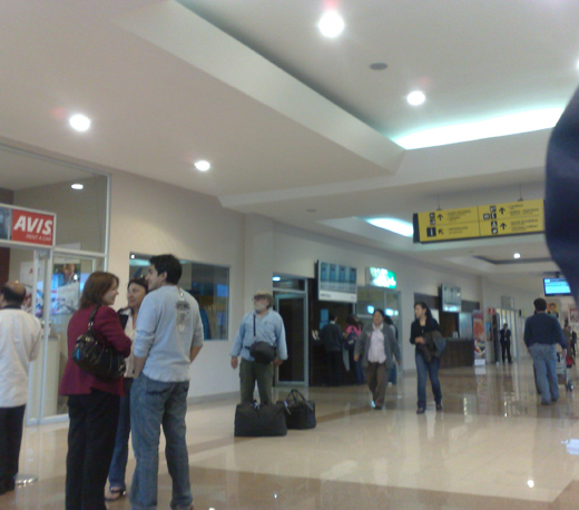 |
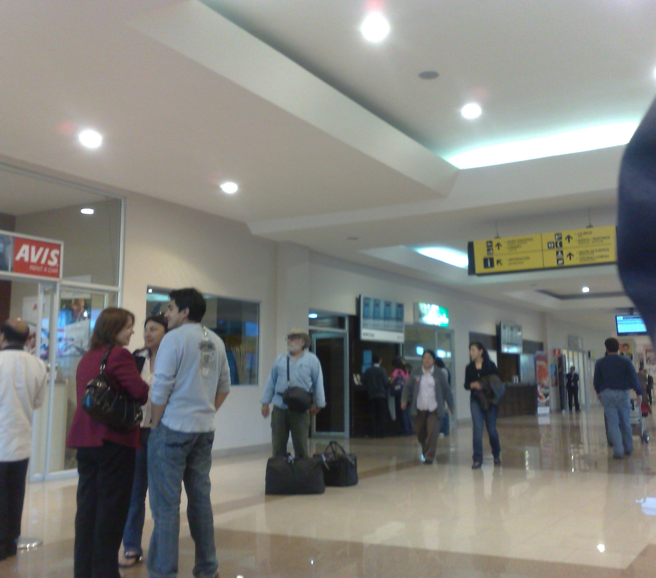
| Interior of Mariscal Lamar Airport |
| IATA: CUE – ICAO: SECU |
| Summary |
| Airport type |
Public |
| Operator |
Corporación Aeroportuaria de Cuenca |
| Serves |
Cuenca, Ecuador |
| Elevation AMSL |
8,306 ft / 2,532 m |
| Coordinates |
02°53′22″S 078°59′04″W / 2.88944°S 78.98444°W / -2.88944; -78.98444 |
| Runways |
| Direction |
Length |
Surface |
| m |
ft |
| 05/23 |
1,900 |
6,234 |
Asphalt |
| Source: DAFIF |
Mariscal Lamar's runway Mariscal Lamar Airport (Spanish: Aeropuerto Mariscal Lamar) (IATA: CUE, ICAO: SECU) is an airport serving Cuenca, a city in the province of Azuay in Ecuador. Facilities
The airport resides at an elevation of 8,306 feet (2,532 m) above mean sea level. It has one runway designated 05/23 with an asphalt surface measuring 6,234 by 118 feet (1,900 × 36 m).. Since 2002 the ILS system for the airport is available and fully operational.
Airlines and destinations
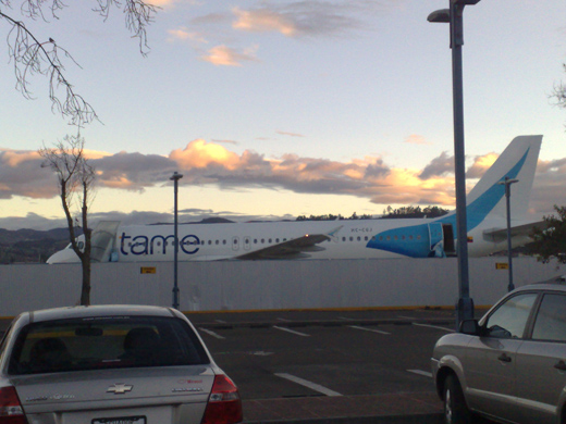 | |
A TAME Airbus A320 with the new colors parked in the Mariscal Lamar Airport in Cuenca, Ecuador |
| Airlines |
Destinations |
| AeroGal |
Guayaquil, Quito |
| Air Cuenca |
Guayaquil, Quito |
| LAN Ecuador |
Guayaquil, Quito |
| Star Perú |
Chiclayo [begins 3 November] |
| TAME |
Guayaquil, Quito, Lago Agrio |
Incidents
- On 20 October 1971, a Vickers Viscount of SAETA was hijacked by six people. It landed at Cuenca Airport.
- On 8 October 1982, Vickers Viscount HC-ATV of SAN Ecuador was damaged beyond economic repair.
- On 11 July 1983, a Boeing 737 operating a TAME flight from Quito to Cuenca, crashed killing all 117 on board on finals to the runway, this is the deadliest incident involving TAME ever
The above content comes from Wikipedia and is published under free licenses – click here to read more.
| General Info
|
| Country |
Ecuador
|
| ICAO ID |
SECU
|
| Time |
UTC-5
|
| Latitude |
-2.889467
02° 53' 22.08" S
|
| Longitude |
-78.984397
078° 59' 03.83" W
|
| Elevation |
8306 feet
2532 meters
|
| Magnetic Variation |
000° W (01/06)
|
| Beacon |
Yes
|
| Operating Agency |
CIVIL GOVERNMENT, (LANDING FEES AND DIPLOMATIC CLEARANCE MAY BE REQUIRED)
|
| Near City |
Cuenca
|
| Operating Hours |
SEE REMARKS FOR OPERATING HOURS OR COMMUNICATIONS FOR POSSIBLE HOURS
|
| Communications
|
| CUENCA RDO |
126.9
121.5
|
| GND |
121.9
|
| APP/TWR |
122.3
|
| Runways
|
| ID |
Dimensions |
Surface |
PCN |
ILS
|
| 05/23 |
6234 x 118 feet
1900 x 36 meters |
ASPHALT |
- |
YES
|
| Navaids
|
| Type |
ID |
Name |
Channel |
Freq |
Distance From Field |
Bearing From Navaid
|
| VOR-DME |
CUV |
CUENCA |
092X |
114.5 |
5.2 NM |
230.2
|
| NDB |
CUR |
CUENCA |
- |
221 |
2.7 NM |
233.8
|
| Remarks
|
| CAUTION |
Ant farm W of rwy rng in hgt fr 27' to 1818' AGL.
|
| FUEL |
(NC-A1)
|
| OPR HOURS |
Opr 1100-0100Z.
|
The content above was published at Airports-Worldwide.com in 2010.
We don't guarantee the information is fresh and accurate. The data may be wrong or outdated.
For more up-to-date information please refer to other sources.
|
|