|
|
Jose Joaquin De Olmedo Intl Airport |
José Joaquín de Olmedo International Airport
Aeropuerto Internacional José Joaquín de Olmedo |
 |
| IATA: GYE – ICAO: SEGU |
| Summary |
| Airport type |
Public |
| Operator |
Terminal Aeroportuaria de Guayaquil S.A. (TAGSA) |
| Serves |
Guayaquil, Ecuador |
| Elevation AMSL |
19 ft / 6 m |
| Coordinates |
02°09′27″S 079°53′01″W / 2.1575°S 79.88361°W / -2.1575; -79.88361 |
| Website |
www.tagsa.aero |
| Runways |
| Direction |
Length |
Surface |
| m |
ft |
| 03/21 |
2,790 |
9,154 |
Asphalt |
| Statistics (2008) |
| Passenger movements |
3,477,800 |
| Domestic passengers |
2,005,212 |
| International Passengers |
1,472,588 |
| Sources: TAGSA and DAFIF |
José Joaquín de Olmedo International Airport (Spanish: Aeropuerto Internacional José Joaquín de Olmedo) (IATA: GYE, ICAO: SEGU) is an airport serving Guayaquil, a city in the province of Guayas in Ecuador. The airport was named after José Joaquín de Olmedo, a notable Ecuadorian poet, and first mayor of the city of Guayaquil. It was formerly known as Simón Bolívar International Airport.
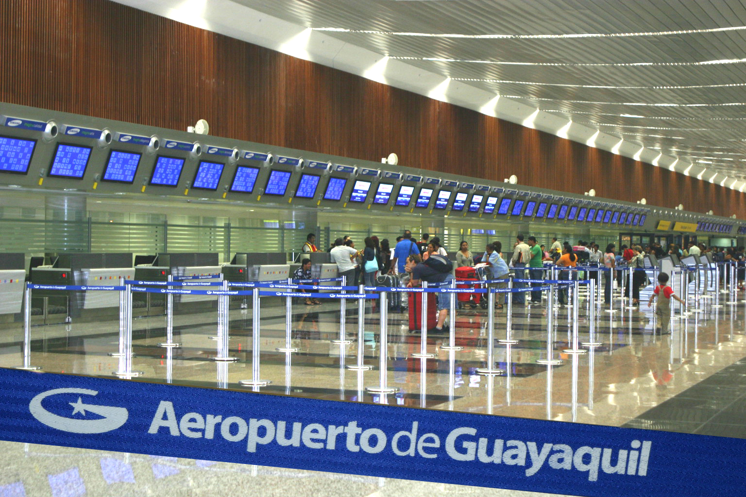
The airport, which has the newest terminal in Ecuador, was renamed after José Joaquín de Olmedo in 2006, in preparation for the inauguration of the new 50,000 sq. meter national and international terminal on 27 July 2006. Although there was an inaugural flight on 28 July 2006, most airlines did not operate completely from the new terminal until 13 August 2006. After that date, the old terminal was closed, and work is to begin during the last quarter of 2006 to turn it into a convention center. There are also plans to build a hotel next to the new terminal.
The construction of the new terminal and expansion of the runway was finally decided in 2003-2004, years after making the decision that the current infrastructure was not sufficient to cover the city's needs, but that it was not yet commercially viable to build an entirely new airport in the Daular area.
The original project in 2003-2004 contemplated the construction of a 28,000 sq. meter international terminal and the continuing operation of the old terminal, which would be left to handle only domestic flights. However, it was later decided that the new terminal would handle both national and international traffic (hence the larger, 50,000 sq. meter building), and that the older terminal would be closed. The airport is planned to serve the city of Guayaquil for 10 to 15 years starting in 2006. After this, it is expected to reach capacity (5 million passengers a year), and when this happens a new airport will be built in the Daular area, some 20 kilometers outside the city, near the highway that connects Guayaquil to Salinas and other coastal towns.
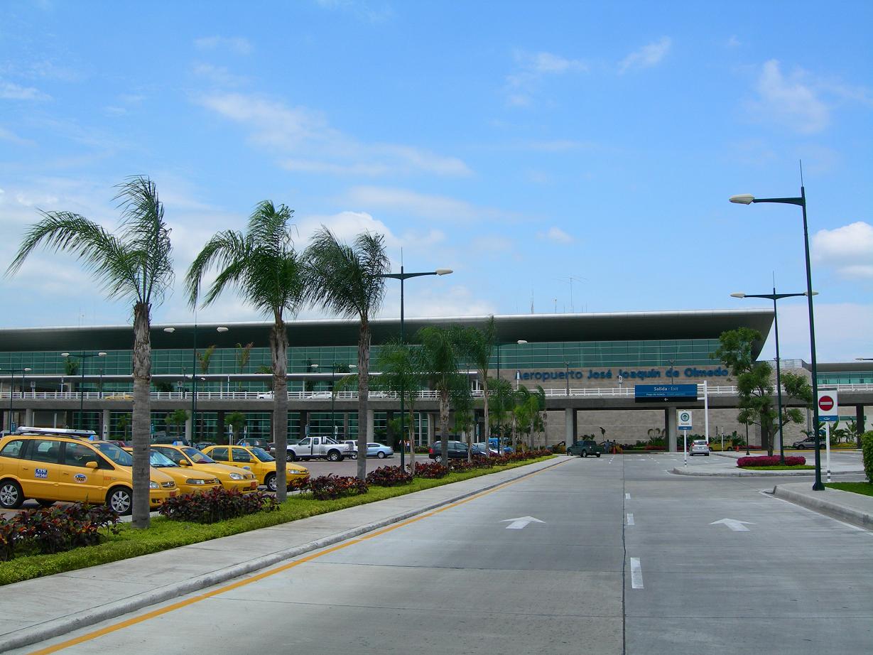
The airport is located 5 km north of Guayaquil's centre, on the Avenida de las Américas, and has a runway with a length of 2,790 metres (9,154 ft), an elevation of 5 m (16 ft), and can serve Boeing 747s, MD-11s and A340-600s.
The departure tax from José Joaquín de Olmedo is as of 2010 US$28.27 (international), and there is no domestic tax unless traveling to the Galapagos, in which case there is $10 tourist card fee and $100 visitor fee payable immediately upon arrival in Baltra or San Cristobol (cash only).
Buses and taxis connect the airport to Guayaquil's city centre.
José Joaquín de Olmedo International Airport was named "Best Airport in Latin America 2008" by BusinessWeek Magazine. Facilities
The airport resides at an elevation of 19 feet (6 m) above mean sea level and it has one runway designated 03/21 with an asphalt surface measuring 9,154 by 151 feet (2,790 × 46 m).
Terminals, airlines and destinations
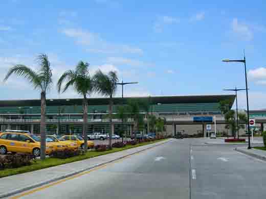 | |
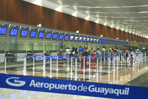
The airport |
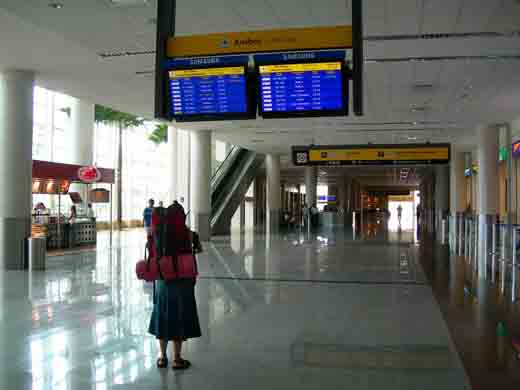 | |
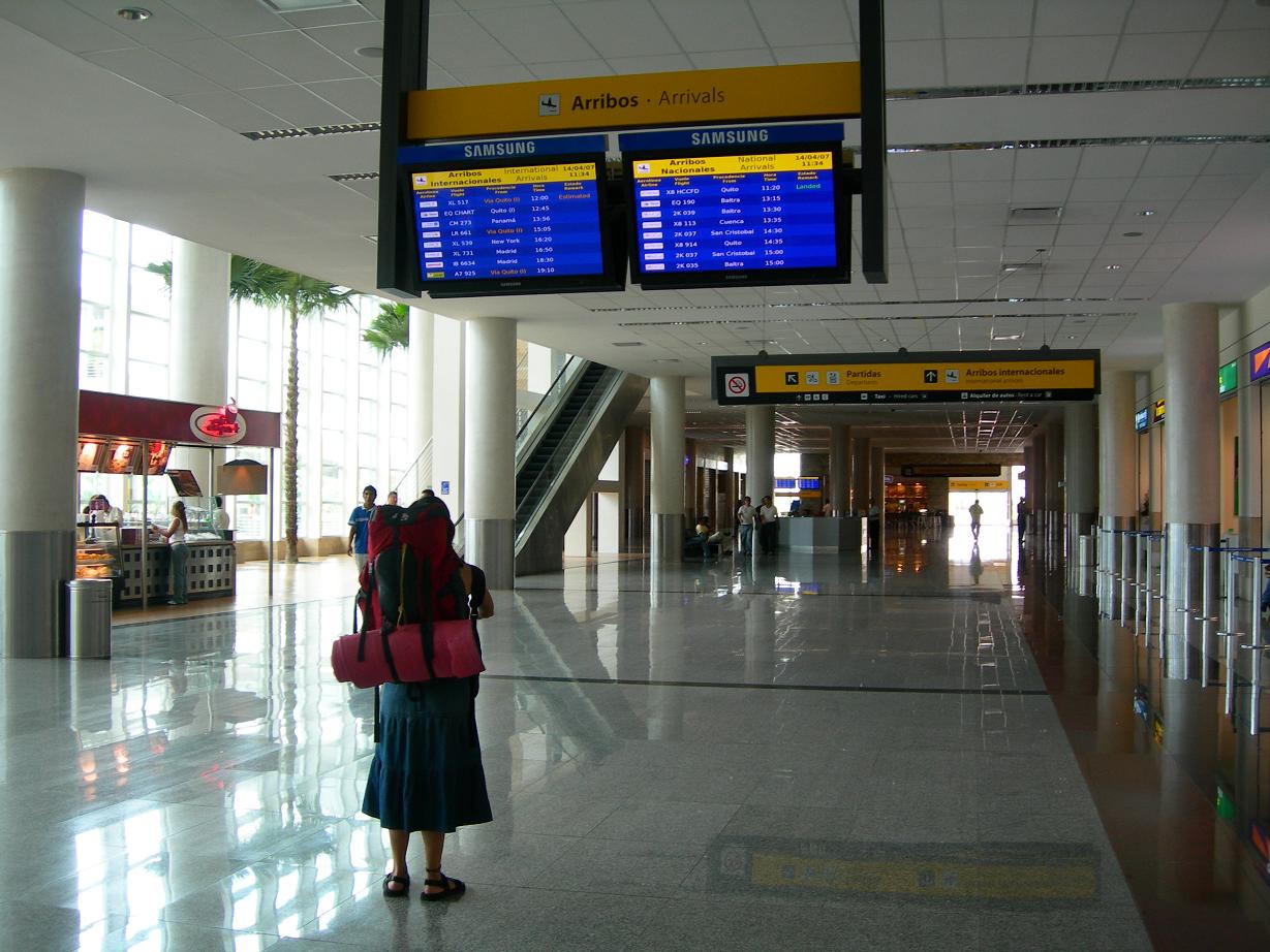
Arrivals area |
| Airlines |
Destinations |
Terminal |
| AeroGal |
Baltra, Cuenca, New York-JFK, Quito, San Cristóbal |
D, I |
| AeroRepublica |
Bogotá |
I |
| American Airlines |
Miami |
I |
| Avianca |
Bogotá |
I |
| Copa Airlines |
Panama City |
D |
| Delta Air Lines |
Atlanta [seasonal] |
I |
| Iberia |
Madrid |
I |
| Icaro |
Quito |
D |
| KLM |
Amsterdam, Bonaire |
I |
| LAN Airlines |
Miami, Santiago de Chile |
I |
| LAN Ecuador |
Baltra, Buenos Aires-Ezeiza, Cuenca, Lima, Madrid, Miami, New York-JFK, Quito, Santiago de Chile |
D,I |
| SAEREO |
Loja, Santa Rosa |
D |
| SBA Airlines |
Caracas |
I |
| TACA |
San Salvador |
I |
| TACA operated by Lacsa |
San José de Costa Rica |
I |
| TACA Perú |
Cali, Lima |
I |
| TAME |
Baltra, Cuenca, Quito, San Cristóbal |
D |
The above content comes from Wikipedia and is published under free licenses – click here to read more.
| General Info
|
| Country |
Ecuador
|
| ICAO ID |
SEGU
|
| Time |
UTC-5
|
| Latitude |
-2.157419
02° 09' 26.71" S
|
| Longitude |
-79.883558
079° 53' 00.81" W
|
| Elevation |
19 feet
6 meters
|
| Type |
Civil
|
| Magnetic Variation |
000° W (01/06)
|
| Beacon |
Yes
|
| Operating Agency |
CIVIL GOVERNMENT, (LANDING FEES AND DIPLOMATIC CLEARANCE MAY BE REQUIRED)
|
| Alternate Name |
SIMON BOLIVAR INTL
|
| Near City |
Guayaquil
|
| Operating Hours |
SEE REMARKS FOR OPERATING HOURS OR COMMUNICATIONS FOR POSSIBLE HOURS
|
| International Clearance Status |
Airport of Entry
|
| Communications
|
| GUAYAQUIL TWR |
118.3
|
| RDO |
126.9
121.5
4669
5595
6535
|
| GND |
121.9
|
| ATIS |
115.9
|
| GUAYAQUIL APP |
119.3
123.9
|
| GUAYAQUIL ACC |
128.3
119.9
|
| Runways
|
| ID |
Dimensions |
Surface |
PCN |
ILS
|
| 03/21 |
9154 x 151 feet
2790 x 46 meters |
ASPHALT |
074FBWT |
YES
|
| Navaids
|
| Type |
ID |
Name |
Channel |
Freq |
Distance From Field |
Bearing From Navaid
|
| VOR-DME |
GYV |
GUAYAQUIL |
106X |
115.9 |
2.0 NM |
207.9
|
| NDB |
SOL |
CHONGON |
- |
280 |
9.9 NM |
066.2
|
| Remarks
|
| CAUTION |
Bird haz.
|
| FUEL |
A1 (Repsol Comercial de Prodctos Ecuafuel C593-4-282-018) (NC-100LL)
|
| RSTD |
NORDO proh.
|
The content above was published at Airports-Worldwide.com in 2010.
We don't guarantee the information is fresh and accurate. The data may be wrong or outdated.
For more up-to-date information please refer to other sources.
|
|