|
|
Karlovy Vary Airport
Letiště Karlovy Vary |
 |
| IATA: KLV – ICAO: LKKV |
| Summary |
| Airport type |
Public |
| Operator |
Airport Karlovy Vary |
| Serves |
Karlovy Vary |
| Location |
Olšová Vrata |
| Elevation AMSL |
1,989 ft / 606 m |
| Coordinates |
50°12′11″N 12°54′54″E / 50.20306°N 12.915°E / 50.20306; 12.915Coordinates: 50°12′11″N 12°54′54″E / 50.20306°N 12.915°E / 50.20306; 12.915 |
| Website |
http://airport-k-vary.cz |
| Runways |
| Direction |
Length |
Surface |
| ft |
m |
| 11/29 |
7,053 |
2,150 |
Asphalt concrete |
| 12/30 |
3,280 |
1,000 |
Grass |
| Statistics (2008) |
| Passenger Volume |
81 720 (+ 26,4%) |
| Aircraft Movements |
5 575 (-18%) |
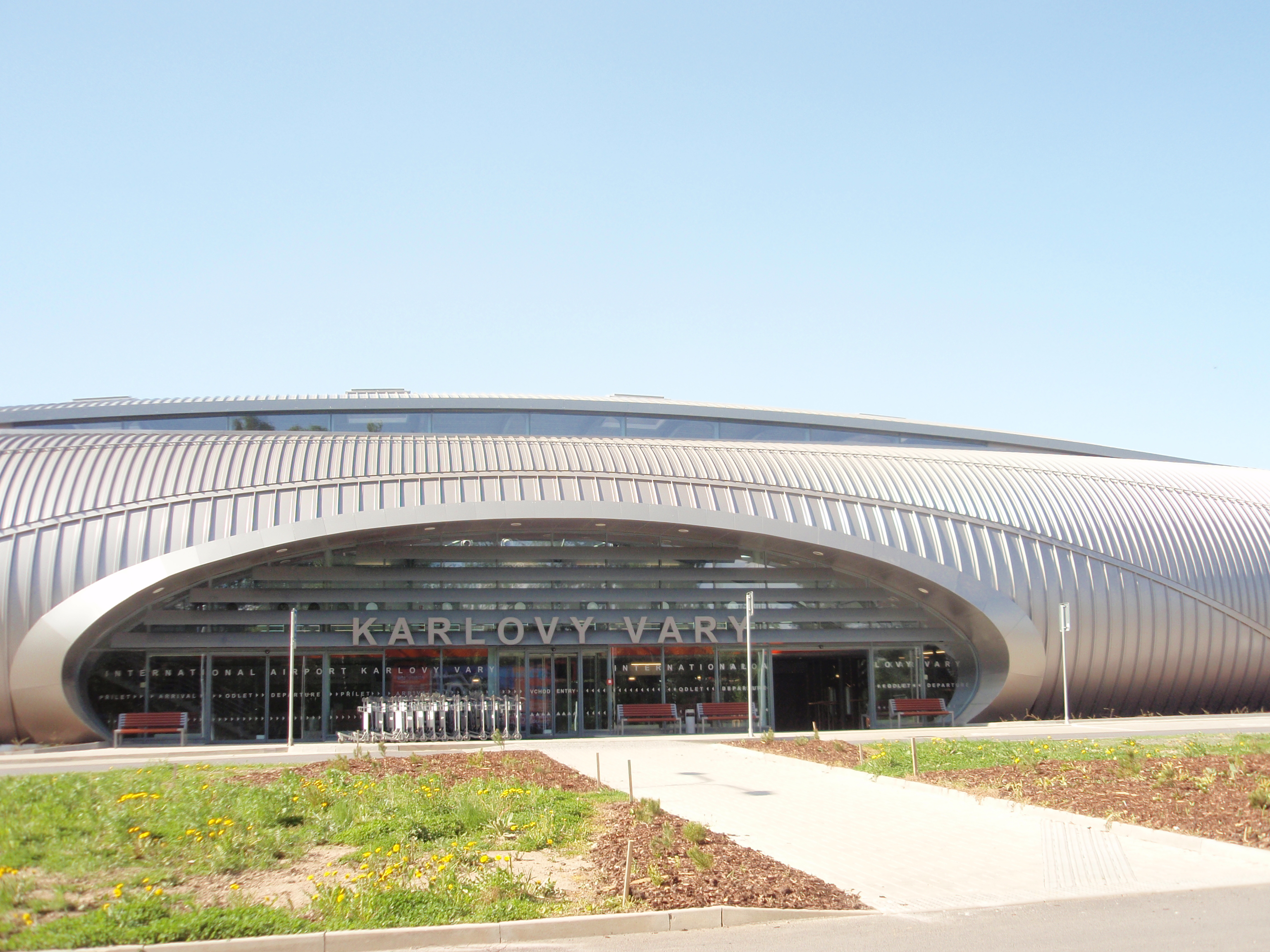
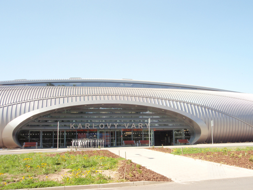
Karlovy Vary Airport (Czech: Letiště Karlovy Vary) (IATA: KLV, ICAO: LKKV) is an international airport located near Karlovy Vary, in the village of Olšová Vrata, 6 km southeast of the city centre, in western Bohemia. It is the fifth largest airport in the Czech Republic. Airlines and destinations
| Airlines |
Destinations |
| Aeroflot |
Moscow-Sheremetyevo |
| Czech Airlines |
Prague, Moscow-Sheremetyevo, St Petersburg |
Charter
| Airlines |
Destinations |
| Travel Service |
Antalya |
Passenger services
- duty free shops
- bar
- internet connection
- free parking
Getting there
By car
- From Karlovy Vary or Prague: Turn from the road "R6" (E48) near Karlovy Vary Golf Resort and continue next 3,5 km to the airport.
By bus
- Public transport to the Karlovy Vary Airport is maintained by city bus Nr. 8 (seven times per day).
The above content comes from Wikipedia and is published under free licenses – click here to read more.
| General Info
|
| Country |
Czech Republic
|
| ICAO ID |
LKKV
|
| Time |
UTC+1(+2DT)
|
| Latitude |
50.202978
50° 12' 10.72" N
|
| Longitude |
12.914983
012° 54' 53.94" E
|
| Elevation |
1989 feet
606 meters
|
| Type |
Civil
|
| Magnetic Variation |
002° E (01/06)
|
| Operating Agency |
CIVIL GOVERNMENT, (LANDING FEES AND DIPLOMATIC CLEARANCE MAY BE REQUIRED)
|
| Operating Hours |
SEE REMARKS FOR OPERATING HOURS OR COMMUNICATIONS FOR POSSIBLE HOURS
|
| Communications
|
| TWR |
121.225
122.9
|
| RADAR |
119.95
|
| ATIS |
118.95
|
| APP |
119.95
|
| INFO |
121.225
|
| Runways
|
| ID |
Dimensions |
Surface |
PCN |
ILS
|
| 11/29 |
7054 x 98 feet
2150 x 30 meters |
ASPHALT |
038FCXT |
YES
|
| Navaids
|
| Type |
ID |
Name |
Channel |
Freq |
Distance From Field |
Bearing From Navaid
|
| VOR-DME |
KVY |
KARLOVY VARY |
052Y |
111.55 |
At Field |
-
|
| Supplies/Equipment
|
| Fuel |
Jet fuel avaiable but type is unknown.
100/130 MIL Spec, low lead, aviation gasoline (BLUE)
|
| Remarks
|
| FUEL |
(NC-A1, 100LL)
|
| OPR HOURS |
Opr 0600-1600Z++ Mon-Sun 1 Apr - 31 May, 0600-1600Z++ Mon-Thu 1 Jun-31 Aug(0600-1800Z++ Fri-Sun), 0600-1600Z++ Mon-Sun 1 Sep-31 Oct., 0600-1400Z++ Mon-Sun 1 Nov-31 Mar.
|
| RSTD |
NORDO proh.
|
The content above was published at Airports-Worldwide.com in 2009.
We don't guarantee the information is fresh and accurate. The data may be wrong or outdated.
For more up-to-date information please refer to other sources.
|
|