|
|
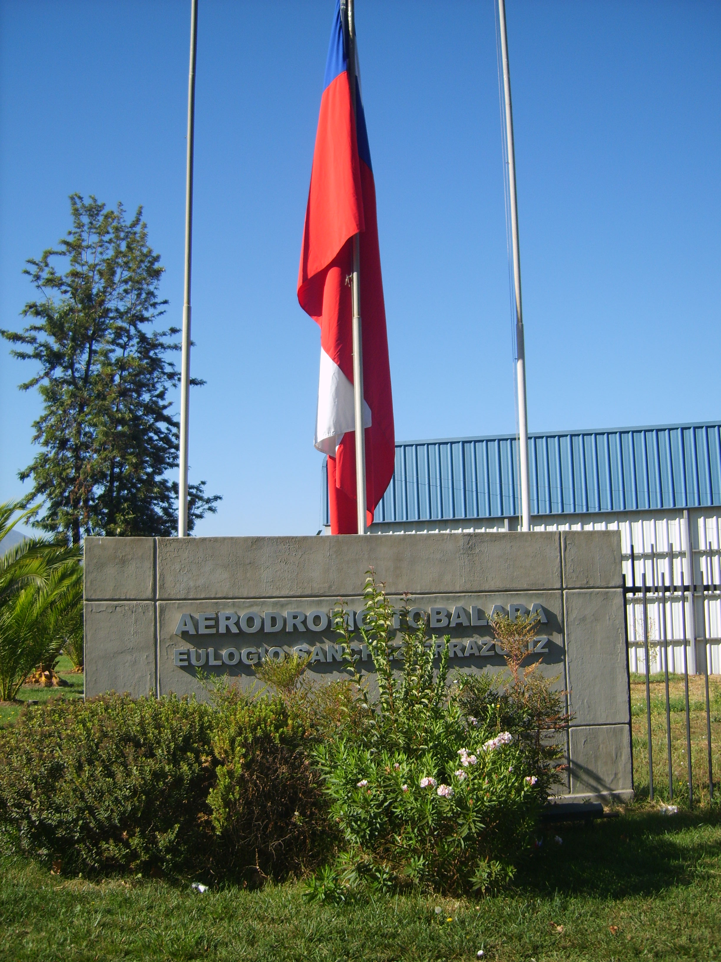
Eulogio Sánchez Airport (Spanish: Aeródromo Eulogio Sánchez) (ICAO: SCTB), also known as Tobalaba Airport, is an airport in La Reina, an eastern suburb of Santiago, Chile. It is two-thirds owned by the Club Aéreo de Santiago and one-third owned by the Club Aéreo de Carabineros de Chile. Also, it holds the headquarters of Airbus Helicopters Chile S.A.
The airport consists of 120 acres on the eastern edge of the Santiago metropolitan area. It was constructed in 1954 and named for the then-president of the Club Aéreo de Santiago, Eulogio Sánchez Errazuriz (1903-1956). It’s taxiways, runway and fuel platform are the only public use infraestructure areas at the airport. It’s home to about 100 aircraft, a restaurant and a public park next to the main entrance in Alcalde Fernando Castillo Velasco Avenue.
Runway 19 has an additional 170 metres (560 ft) displaced threshold.
|
Eulogio Sánchez Airport
Tobalaba Airport
|
|
|
|
| Summary |
| Airport type |
Public |
| Owner/Operator |
Club Aéreo de Santiago, Club Aéreo de Carabineros de Chile |
| Serves |
Santiago, Chile |
| Location |
La Reina |
| Built |
1954 |
| Elevation AMSL |
2,129 ft / 649 m |
| Coordinates |
33°27′23″S
70°32′48″W |
| Map |
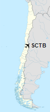
Location of the airport in Chile
|
| Runways |
| Direction |
Length |
Surface |
| m |
ft |
| 01/19 |
965 |
3,166 |
Asphalt |
|
Operations
Eulogio Sánchez Airport is home to Club Aéreo de Santiago, Club Aéreo de Carabineros, Airbus Helicopters Chile S.A. and more, while organisms such as PDI (Policía de Investigaciones), Ecocopter, RomeoMike, Aeromet and SumaAir see a lot of operations in and out of Tobalaba.
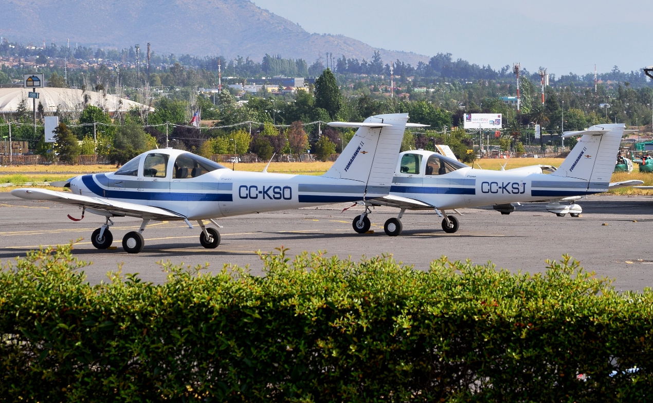
Two Piper PA-38 Tomahawks sitting at one of many parking spots at Tobalaba Airport.
The above content comes from Wikipedia and is published under free licenses – click here to read more.
| General Info
|
| Country |
Chile
|
| ICAO ID |
SCTB
|
| Time |
UTC-4(-3DT)
|
| Latitude |
-33.456278
33° 27' 22.60" S
|
| Longitude |
-70.546667
070° 32' 48.00" W
|
| Elevation |
2129 feet
649 meters
|
| Type |
Civil
|
| Magnetic Variation |
003° E (01/06)
|
| Beacon |
Yes
|
| Operating Agency |
CIVIL GOVERNMENT, (LANDING FEES AND DIPLOMATIC CLEARANCE MAY BE REQUIRED)
|
| Near City |
Santiago
|
| Operating Hours |
SEE REMARKS FOR OPERATING HOURS OR COMMUNICATIONS FOR POSSIBLE HOURS
|
| Communications
|
TOBALABA TWR
Opr 1230-2230Z++
|
118.7
|
| GND |
121.6
|
| Runways
|
| ID |
Dimensions |
Surface |
PCN |
ILS
|
| 01/19 |
3742 x 88 feet
1141 x 27 meters |
ASPHALT |
- |
NO
|
| Supplies/Equipment
|
| Fuel |
100/130 MIL Spec, low lead, aviation gasoline (BLUE)
|
| Remarks
|
| CAUTION |
Trees vcnty Rwy 19. Bldg obst view of Twy Alfa fr twr. Iron structure at N fence, 34' hgt, 7.5' wid deflects acft blast, marked but not lgtd. A ditch, 98x98', Nof Twy Echo and W of Twy Alpha. Twy Alpha, Lima, Golf, Foxtrot and Whiskey frTwy Charlie S not visible fr ctl twr.
|
| FUEL |
(NC-100LL)
|
| LGT |
PAPI RWY 19 GS 3.3
|
| OPR HOURS |
Opr 1230-2330Z++.
|
The content above was published at Airports-Worldwide.com in 2020.
We don't guarantee the information is fresh and accurate. The data may be wrong or outdated.
For more up-to-date information please refer to other sources.
|
|