|
|
El Loa Airport (Spanish: Aeropuerto El Loa) (IATA: CJC, ICAO: SCCF), is the major airport serving Calama, a city in the Antofagasta Region of Chile. It is one of the largest airports in Chile.
The airport is 6 kilometres (3.7 mi) from the city centre. It currently accommodates aircraft with a maximum wingspan of 36 metres (118 ft) thus limited to narrow body airliners like the Airbus A320 or Boeing 737. There are plans to construct a second runway with capacity to accommodate wide body jets and military aircraft.
The Calama VOR-DME (Ident: LOA) is located 0.7 nautical miles (1.3 km) off the approach threshold of Runway 28. The Calama non-directional beacon (Ident: LOA) is located on the field.
|
El Loa Airport
|
|
|
|
| Summary |
| Airport type |
Public |
| Owner |
Dirección de Aeronautica Civil de Chile (DGAC) |
| Operator |
Sociedad Concesionaria El Loa S.A |
| Serves |
Calama, Chile |
| Elevation AMSL |
7,631 ft / 2,326 m |
| Coordinates |
22°29′50″S
68°54′25″W |
| Website |
Website in DGAC |
| Map |
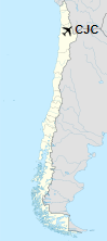
Location of airport in Chile
|
| Runways |
| Direction |
Length |
Surface |
| m |
ft |
| 10/28 |
3,040 |
9,974 |
Asphalt |
|
| Statistics (2006) |
|
|
Facilities
Passenger Terminal
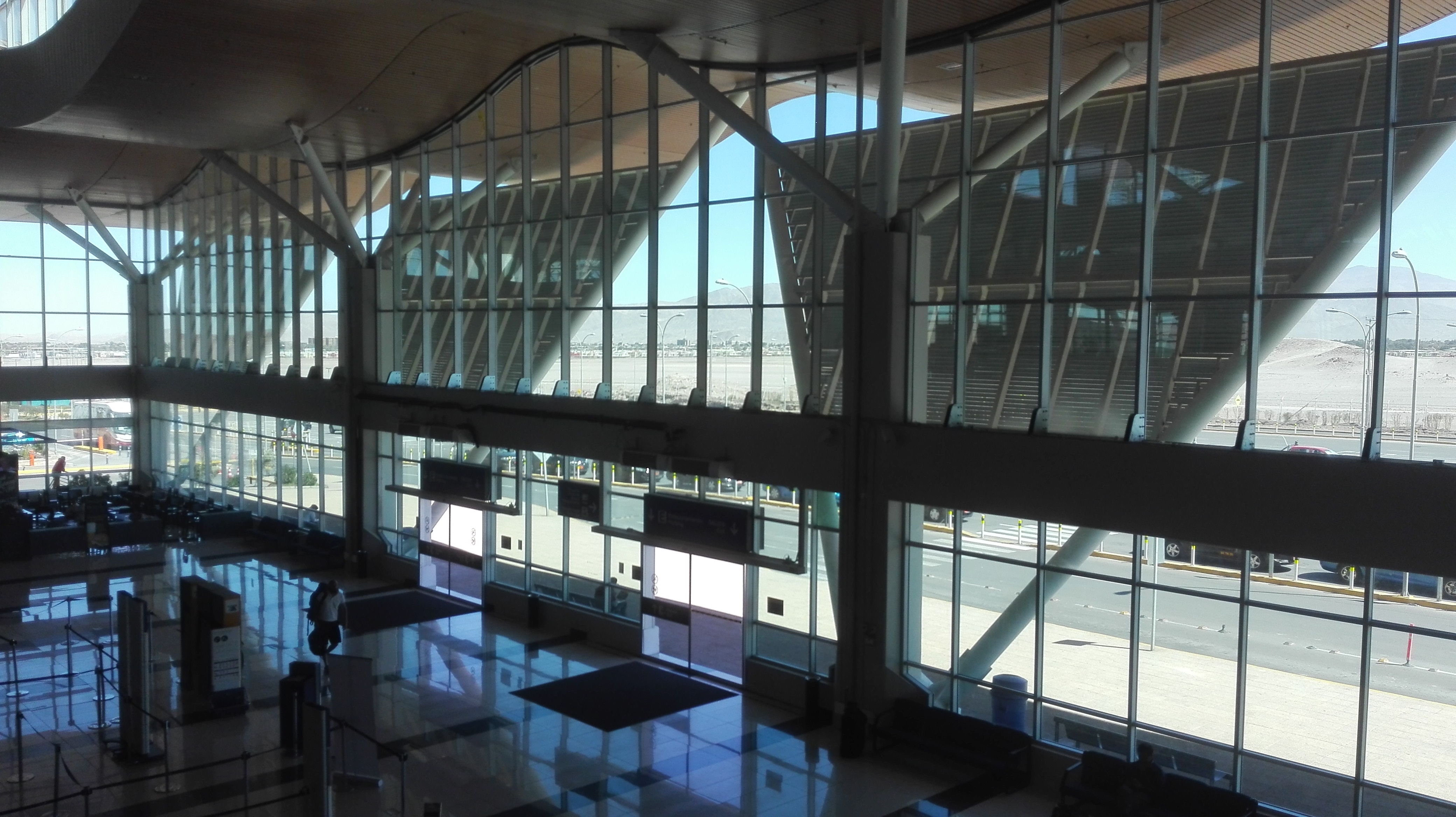
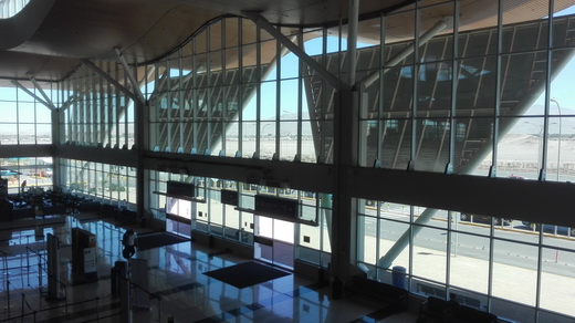
A new passenger terminal was inaugurated in 2014. With a total area of 8,100 square metres (87,000 sq ft), it includes three air bridges, an expanded apron and twelve commercial locations. In addition, there was extensive landscaping around the terminal and a new 500 space car park was built. The terminal has a few stores: duty free shop, Air Britt and Pacific Club VIP lounge.
Other facilities
In parallel to the development of the new terminal, a new 28-metre (92 ft) high control tower, fire brigade service centre, Air Club Hangar, and wastewater treatment plant were opened.
Tenants
Airlines and Destinations
| Destinations |
| JetSmart |
Concepción, La Serena, Santiago de Chile |
| LATAM Chile |
Santiago de Chile, La Serena |
| LATAM Perú |
Lima |
| Sky Airline |
Concepción, Santiago de Chile |
Statistics
The number of passengers has been: 2004: 247,821 2005: 273,275 2006: 315,725 2013: 1,441,566
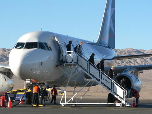
Passengers disembarking a flight from Santiago in 2008
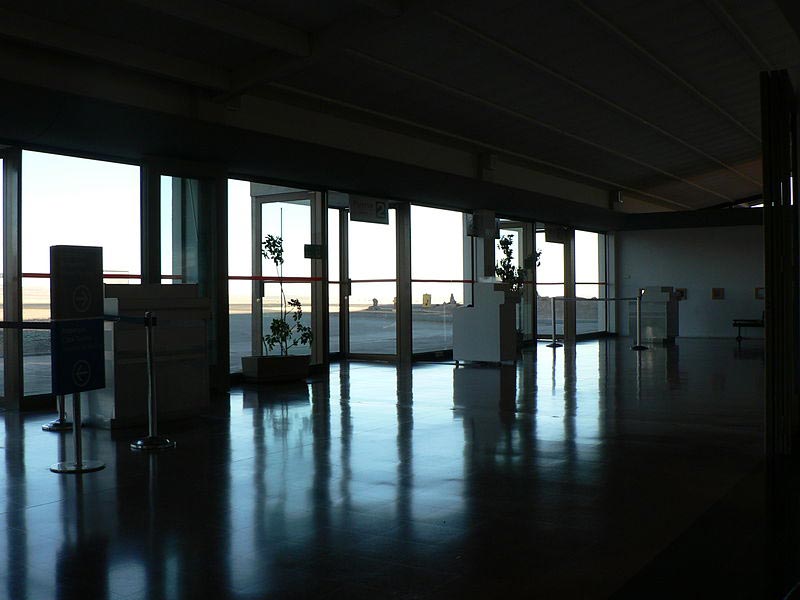
Aeropuerto El Loa

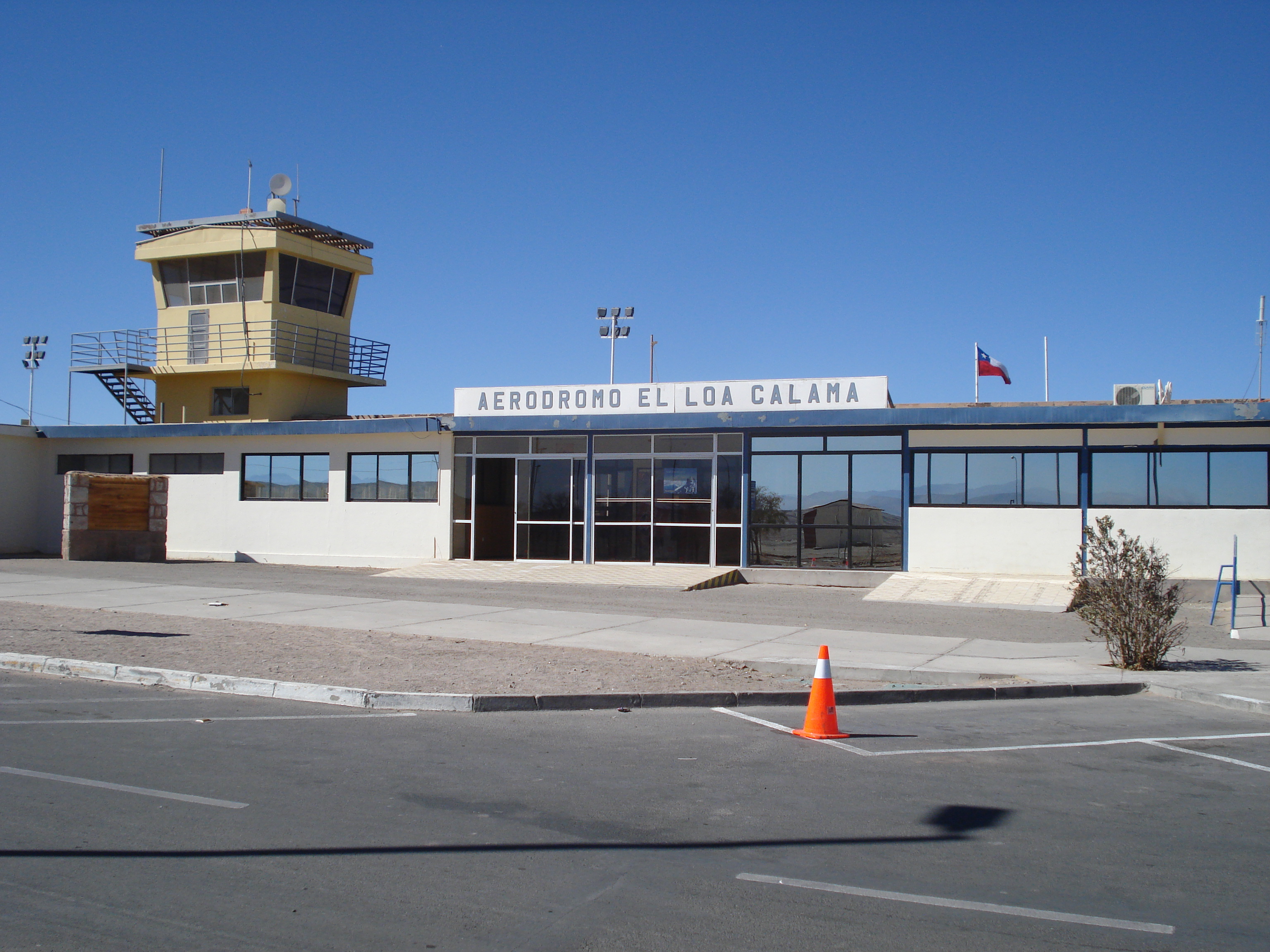
Antigua terminal de pasajeros y torre de control en 2010.
The above content comes from Wikipedia and is published under free licenses – click here to read more.
| General Info
|
| Country |
Chile
|
| ICAO ID |
SCCF
|
| Time |
UTC-4(-3DT)
|
| Latitude |
-22.498175
22° 29' 53.43" S
|
| Longitude |
-68.903575
068° 54' 12.87" W
|
| Elevation |
7543 feet
2299 meters
|
| Type |
Civil
|
| Magnetic Variation |
003° W (01/06)
|
| Beacon |
Yes
|
| Operating Agency |
CIVIL GOVERNMENT, (LANDING FEES AND DIPLOMATIC CLEARANCE MAY BE REQUIRED)
|
| Near City |
Calama
|
| Operating Hours |
SEE REMARKS FOR OPERATING HOURS OR COMMUNICATIONS FOR POSSIBLE HOURS
|
| Communications
|
CALAMA TWR
Opr 1100-0315Z++ Mon-Fri; 1100-2315Z++ Sat; 1300-0315Z++ Sun.
|
118.7
|
CALAMA APP
Opr 1100-0315Z++ Mon-Fri; 1100-2315Z++ Sat; 1300-0315Z++ Sun.
|
120.9
|
| Runways
|
| ID |
Dimensions |
Surface |
PCN |
ILS
|
| 10/28 |
9478 x 98 feet
2889 x 30 meters |
ASPHALT |
040FAXT |
NO
|
| Navaids
|
| Type |
ID |
Name |
Channel |
Freq |
Distance From Field |
Bearing From Navaid
|
| VOR-DME |
LOA |
CALAMA |
110X |
116.3 |
1.5 NM |
277.8
|
| NDB |
CFL |
CALAMA |
- |
215 |
At Field |
-
|
| Supplies/Equipment
|
| Fuel |
Aviation Gasoline (AVGAS), octane unknown.
Jet fuel avaiable but type is unknown.
|
| Remarks
|
| LGT |
PAPI Rwy 10 GS 2.2 . PAPI Rwy 28 GS 3.5
|
| OPR HOURS |
Opr 1030-0400Z++ Mon-Fri, 1030-0100Z++Sat, 1200-0400Z++ Sun. All hr O/R.
|
The content above was published at Airports-Worldwide.com in 2020.
We don't guarantee the information is fresh and accurate. The data may be wrong or outdated.
For more up-to-date information please refer to other sources.
|
|