|
|
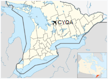
Muskoka Airport (IATA: YQA, ICAO: CYQA) is located 4 nautical miles (7.4 km; 4.6 mi) south of Bracebridge, Ontario, Canada.
The airport is classified as an airport of entry by Nav Canada and is staffed by the Canada Border Services Agency (CBSA). CBSA officers at this airport can handle general aviation aircraft only, with no more than 15 passengers.
|
Muskoka Airport
|
|
- IATA: YQA
- ICAO: CYQA
- WMO: 71630
|
| Summary |
| Airport type |
Public |
| Owner/Operator |
District Municipality of Muskoka |
| Serves |
District Municipality of Muskoka |
| Location |
Gravenhurst, Ontario |
| Opened |
1936 |
| Time zone |
EST (UTC−05:00) |
| • Summer (DST) |
EDT (UTC−04:00) |
| Elevation AMSL |
922 ft / 281 m |
| Coordinates |
44° 58′ 30″ N
079° 18′ 14″ W |
| Website |
www.muskokaairport.com |
| Map |
|
|
| Runways |
| Direction |
Length |
Surface |
| ft |
m |
| 09/27 |
2,199 |
670 |
Turf |
| 18/36 |
6,000 |
1,829 |
Asphalt |
|
| Statistics (2010) |
| Aircraft movements |
16,417 |
|
History
The airport was opened in 1936 as Reay Airport and renamed to the current name in 1938.
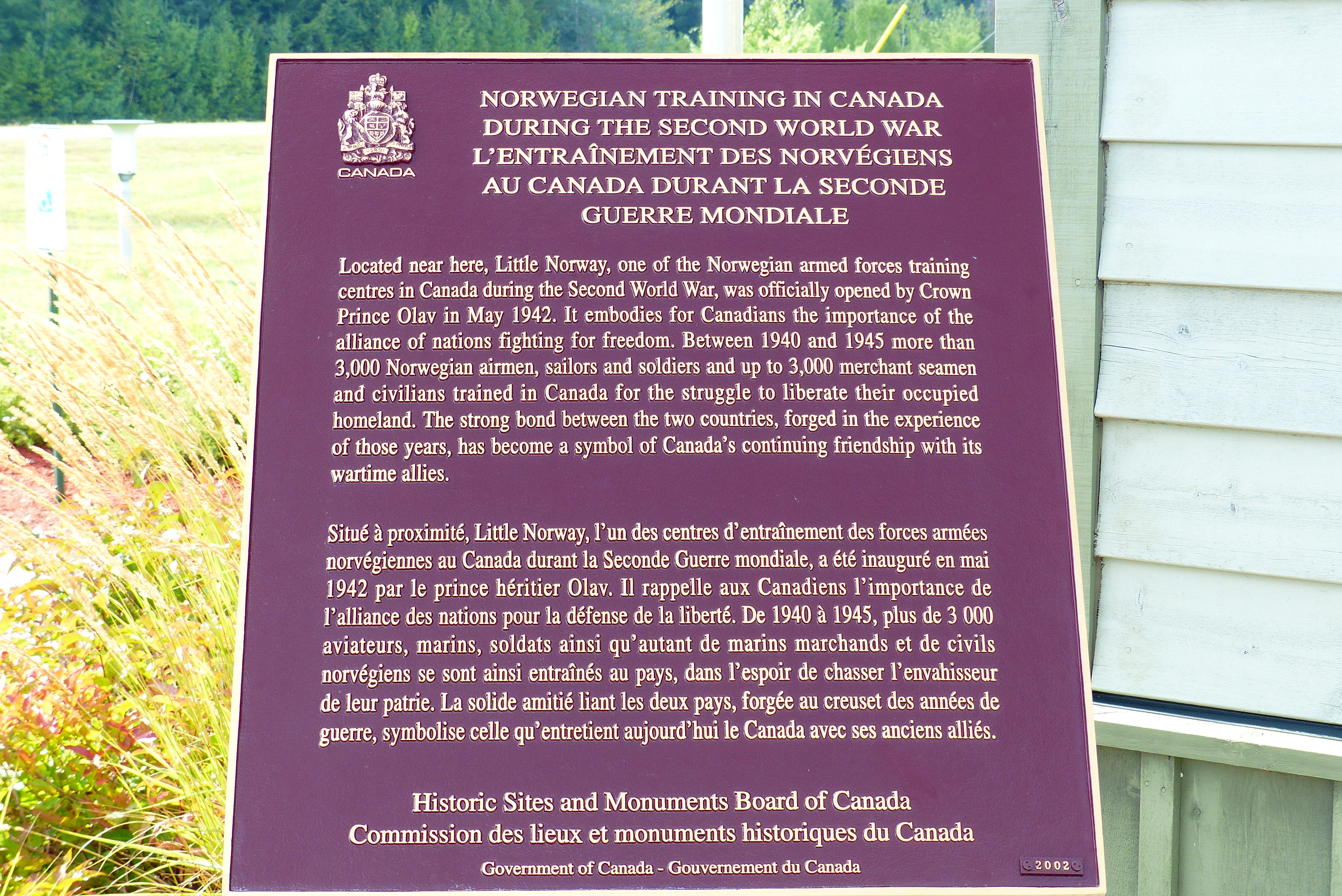
Plaque describing Norwegian training at Muskoka
From 1942 to end of World War II, it served as a training facility for the Royal Norwegian Air Force. Known as «Little Norway», it replaced the Toronto Island Airport as their main training base in Canada. The Royal Canadian Air Force (RCAF) used this as an auxiliary airfield to CFB Borden during World War II.
Military use ended and the airport transferred to Department of Transport (DOT). The airport has been owned by the District Municipality of Muskoka since 1996.
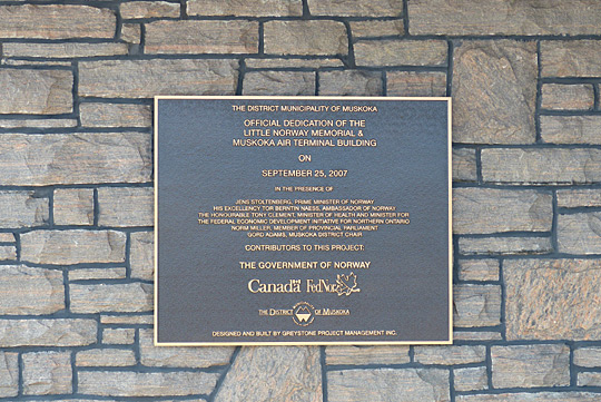
Plaque commemorating dedication of the memorial
During the mid 20th century the airport was an emergency landing facility for Trans Canada Airlines and the RCAF.
The airport is used by general aviation, charters and other operators:
- Royal Canadian Mounted Police
- Canadian Forces
- Ontario Ministry of Natural Resources
Carrier operations and destinations
| Type |
Airlines |
Destinations |
| Passenger |
FlyGTA |
Chartered: St. Catharines/Niagara, Toronto-Billy Bishop |
| Cargo |
SkyLink Express |
Hamilton, North Bay |

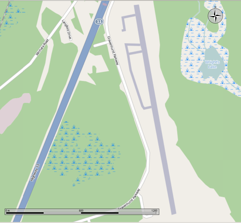
Map of the runway
The above content comes from Wikipedia and is published under free licenses – click here to read more.
| General Info
|
| Country |
Canada
|
| ICAO ID |
CYQA
|
| Time |
UTC-5 (-4DT)
|
| Latitude |
44.974722
44° 58' 29.00" N
|
| Longitude |
-79.303333
079° 18' 12.00" W
|
| Elevation |
925 feet
282 meters
|
| Type |
Civil
|
| Magnetic Variation |
011° W (01/06)
|
| Operating Agency |
CIVIL GOVERNMENT, (LANDING
FEES AND DIPLOMATIC CLEARANCE MAY BE REQUIRED)
|
| Operating Hours |
SEE REMARKS FOR OPERATING
HOURS OR COMMUNICATIONS FOR POSSIBLE HOURS
|
| International Clearance
Status |
Airport of Entry
|
| Daylight Saving Time |
Second Sunday in March
at 0200 to first Sunday in November at 0200 local time (Exception
Arizona and that portion of Indiana in the Eastern Time Zone) |
| Communications
|
| LONDON RDO |
123.475
|
| MF |
122.3
|
| Communications Remarks |
|
| RCO |
(RCO) |
| Runways
|
ID
|
Dimensions |
Surface |
PCN |
ILS
|
| 09/27 |
2180 x 100 feet
664 x 30 meters |
GRASS OR EARTH NOT
GRADED OR ROLLED. |
- |
NO
|
| 18/36 |
6000 x 150 feet
1829 x 46 meters |
ASPHALT |
028FAWT |
NO |
| Navaids
|
| Type |
ID |
Name |
Channel |
Freq |
Distance From Field |
Bearing From Navaid
|
| NDB |
YQA |
MUSKOKA |
- |
272 |
4.0 NM |
204.0 |
| Supplies/Equipment
|
| Fuel |
Jet A1+, Jet A1 with
icing inhibitor.
100/130 MIL Spec, low lead, aviation gasoline (BLUE) |
| Remarks
|
| CAUTION |
Wildlife haz.
|
| FUEL |
A1+, A1 (District Municipality-Imperial
Oil, C705-687-2194.) Avbl 1200-2400Z++ 15 May-31 Aug; 1300-2300Z++1
Sep-14 May, OT call out fee applies, C705-687-2194. (NC-100LL)
|
| LGT |
ACTIVATE-MIRL, PAPI
Rwy 18 and MIRL Rwy 36-122.3. PAPI Rwy 18, 12 lgt unit for acft
with eye-to-wheel height up to 10'.
|
| MISC |
Rwy 09-27 clsd 1 Nov-1
May. Rwy 18-36 ltd win maint. Rwy 09-27 no win maint.
|
| RSTD |
Twy A and B rstd to
acft with wg span of less than 79'. |
The content above was published at Airports-Worldwide.com in 2018.
We don't guarantee the information is fresh and accurate. The data may be wrong or outdated.
For more up-to-date information please refer to other sources.
|
|