 |
|
Maxville (Bourdon Farm) Aerodrome |
Maxville (Bourdon Farm) Aerodrome, (TC LID: CMB7), is located 3 nautical miles (5.6 km; 3.5 mi) south southeast of Maxville, Ontario, Canada.
| Maxville (Bourdon Farm) Aerodrome |
- IATA: none
- ICAO: none
- TC LID: CMB7
|
| Summary |
| Airport type |
Private |
| Operator |
Bourdon Feed and Grain Inc. |
| Location |
Maxville, Ontario |
| Time zone |
EST (UTC−05:00) |
| Summer (DST) |
EDT (UTC−04:00) |
| Elevation AMSL |
359 ft / 109 m |
| Coordinates |
45°15′11″N
074°48′25″W |
| Map |
|
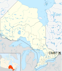
Location in Ontario
|
| Runways |
| Direction |
Length |
Surface |
| ft |
m |
16/34 |
3,308 |
1,008 |
Asphalt |
|
The above content comes from Wikipedia and is published under free licenses – click here to read more.
The content above was published at Airports-Worldwide.com in 2018.
We don't guarantee the information is fresh and accurate. The data may
be wrong or outdated.
For more up-to-date information please refer to other sources.
|
|


