|
|
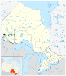
Kenora Airport (IATA: YQK, ICAO: CYQK) is located 5 nautical miles (9.3 km; 5.8 mi) east northeast of Kenora, Ontario, Canada. The airport is classified as an airport of entry by Nav Canada and is staffed by the Canada Border Services Agency (CBSA). CBSA officers at this airport can handle general aviation aircraft with no more than 15 passengers. The airport has one asphalt runway that is 5,800 by 150 ft (1,768 by 46 m). The airport is under Aircraft Group Number (AGN) classification of IV. The airport was also a finalist for the WestJet Innovation & Excellence Award for the Canadian Tourism Awards 2018 where it was one of three finalists going up against Vancouver International Airport and Quebec City Airport.
|
Kenora Airport
|
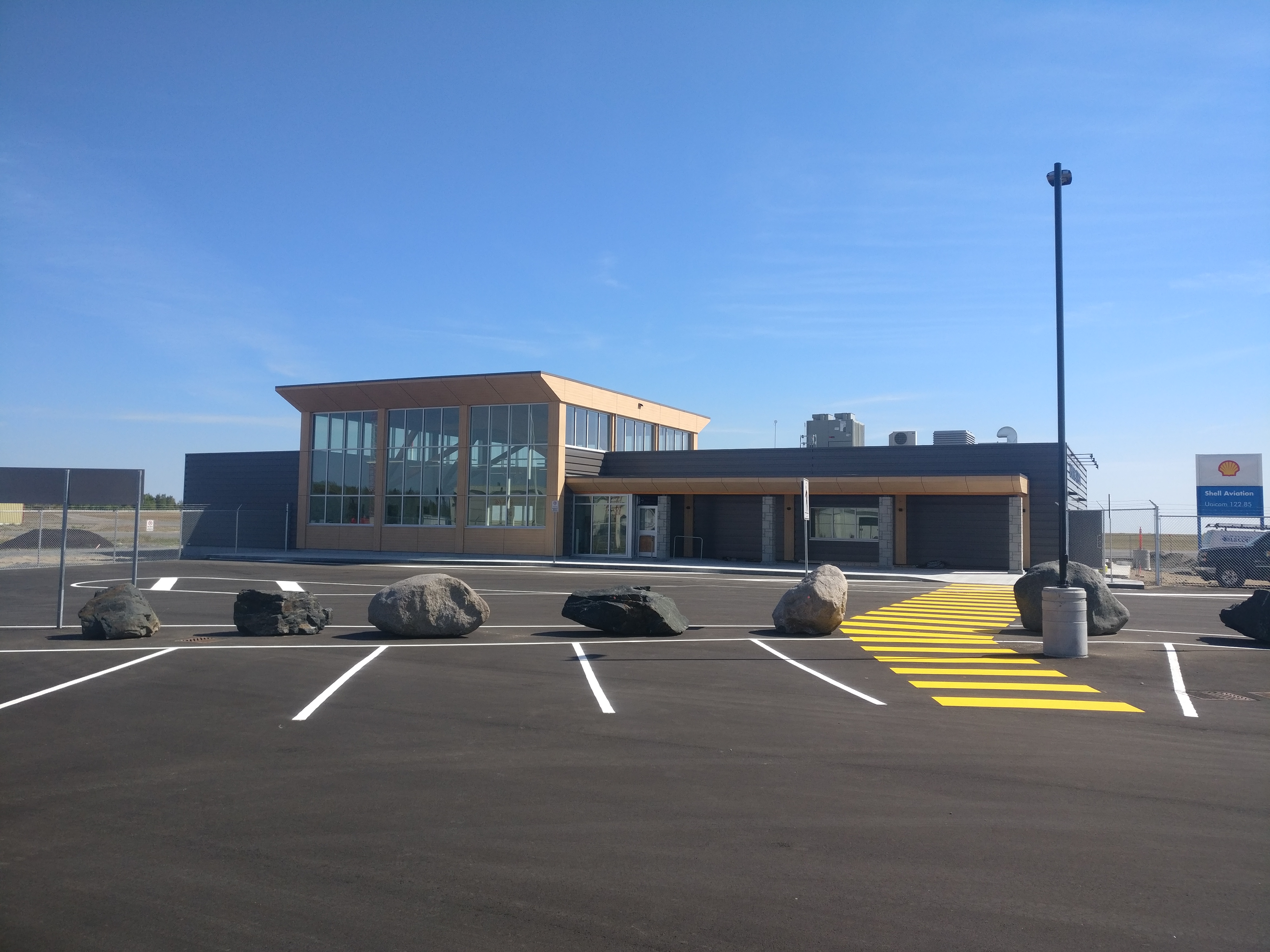
McDougald International Terminal
|
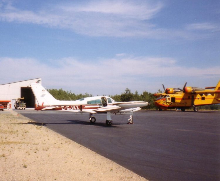
Ministry of Natural Resources CL-125 and Cessna 310 at Kenora
|
- IATA: YQK
- ICAO: CYQK
- WMO: 71850
|
| Summary |
| Airport type |
Public |
| Operator |
Kenora Airport Authority Inc. |
| Location |
Kenora, Ontario |
| Time zone |
CST (UTC−06:00) |
| • Summer (DST) |
CDT (UTC−05:00) |
| Elevation AMSL |
1,344 ft / 410 m |
| Coordinates |
49°47′18″N
094°21′47″W |
| Website |
Kenora Airport |
| Map |
|
|
| Runways |
| Direction |
Length |
Surface |
| ft |
m |
| 08/26 |
5,800 |
1,768 |
Asphalt |
|
| Statistics (2010) |
| Aircraft movements |
13,957 |
|
Airlines and destinations
| Destinations |
| Bearskin Airlines |
Dryden, Fort Frances, Sioux Lookout, Thunder Bay, Winnipeg |
The above content comes from Wikipedia and is published under free licenses – click here to read more.
| General
Info |
| Country |
Canada
|
| ICAO ID |
CYQK
|
| Latitude |
49.788334
49° 47' 18.00" N |
| Longitude |
-94.363056
094° 21' 47.00" W |
| Elevation |
1332 feet
406 meters |
| Type |
Civil
|
| Magnetic
Variation |
001° E
(01/06) |
| Beacon |
Yes
|
| Operating
Agency |
MUNICIPAL
|
| Daylight
Saving Time |
Second
Sunday in March at 0200 to first Sunday in November at 0200 local
time (Exception Arizona and that portion of Indiana in the Eastern
Time Zone) |
| Communications
|
| MF |
122.2
|
| WINNIPEG
RDO |
126.7
|
| VHF/DF |
122.2
|
| RDO |
122.2
327.7 |
| WINNIPEG
CNTR |
124.0
225.2 |
| Communications
Remarks |
|
| RCO |
(RCO)(FISE)
|
| FSS |
Emerg
only C807-548-5067 |
| CNTR |
(APP DEP
svc) |
| Runways
|
| ID |
Dimensions |
Surface |
PCN |
ILS
|
| 08/26
|
5800 x
150 feet
1768 x 46 meters |
ASPHALT |
041FAYT |
NO
|
| Navaids
|
| Type |
ID |
Name |
Channel |
Freq |
Distance
From Field |
Bearing
From Navaid |
| VORTAC |
VBI |
SIOUX
NARROWS |
099X |
115.2 |
22.4 NM |
324.6
|
| NDB |
YQK |
KENORA |
- |
326 |
2.4 NM |
093.5
|
| Supplies/Equipment
|
| Fuel |
Jet A1,
without icing nhibitor.
100/130 MIL Spec, low lead, aviation gasoline (BLUE) |
The content above was published at Airports-Worldwide.com in 2018.
We don't guarantee the information is fresh and accurate. The data may be wrong or outdated.
For more up-to-date information please refer to other sources.
|
|